
 Hiking
 Login
Login
 More
More
 EN
EN
 Premium
Leuze-en-Hainaut
automatic translation
13.3 km • Leuze-en-Hainaut
2.4853 1 4/5

 Addresse starting point (approximate)
Place De Chapelle-à-Wattines 12, 7903 Leuze, BE
 signage
The route is not signposted. Use a GPS device or our app to follow the route.
 Description
Departure: parking Église de la Sainte Vierge - rue Briqueteau - Leuze-en-Hainaut
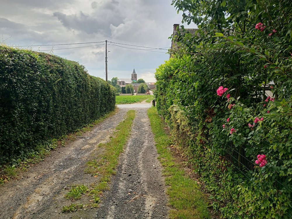
This is a village walk.
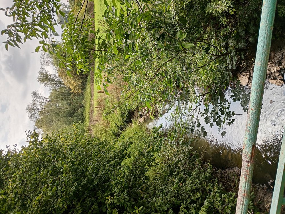
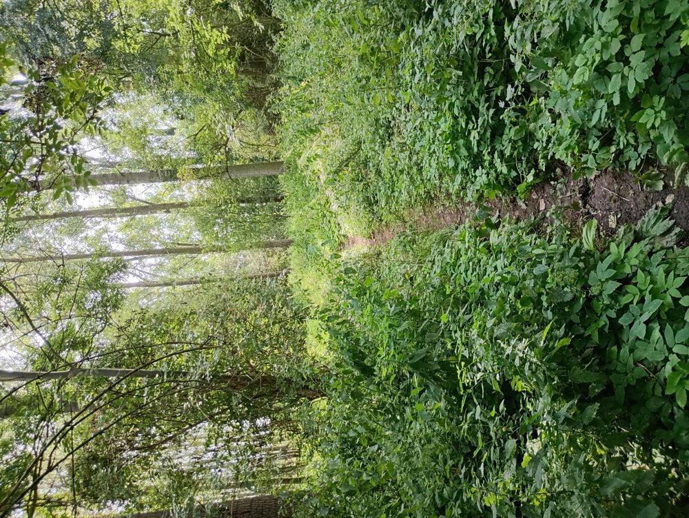
We don't immediately associate Hainaut with the Dender region, but here this river does flow, and we start the walk at the western Dender. Unfortunately, we can't go through all the forests, and several field paths have been ploughed and are now part of the wheat fields. Should people deviate from the route and still want to take the small roads: I myself had to change the route three times, turn back and detour, because I couldn't get through at various places. Many roads and paths that seem passable on the map are closed or privatized.
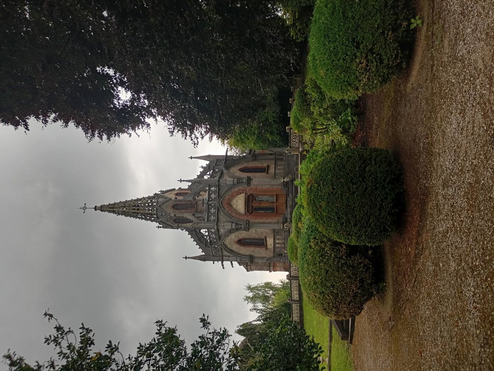
About halfway, we come to the village of Houtaing. Next to the cemetery, you can admire the beautiful burial chapel of Clémentine d'Oultremont. Unfortunately, it is closed to the public.
No catering along the way.
automatic translation



 Upgrade to Premium Plus


