 Hiking
 Login
Login
 More
More
 EN
EN
 Premium
From Heverleebos to Arenberg
automatic translation
12.8 km • Leuven
4.5344 2 4.5/5

 Addresse starting point (approximate)
Grezweg, 3001 Leuven, BE
 signage
The route is partially signposted with nodes. Use a GPS device or our app to follow the route.
 Description
Parking: Parking Grezweg Heverlee.
Signage: Junctions/GPS/Walking app.
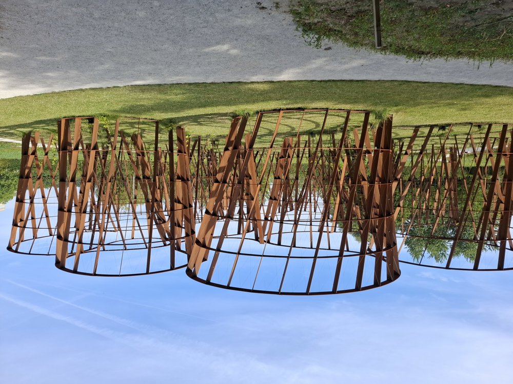
This walk is a combination of forest and city walk. From the parking lot, you walk through the Heverleebos to the Arenberg Castle in Heverlee.
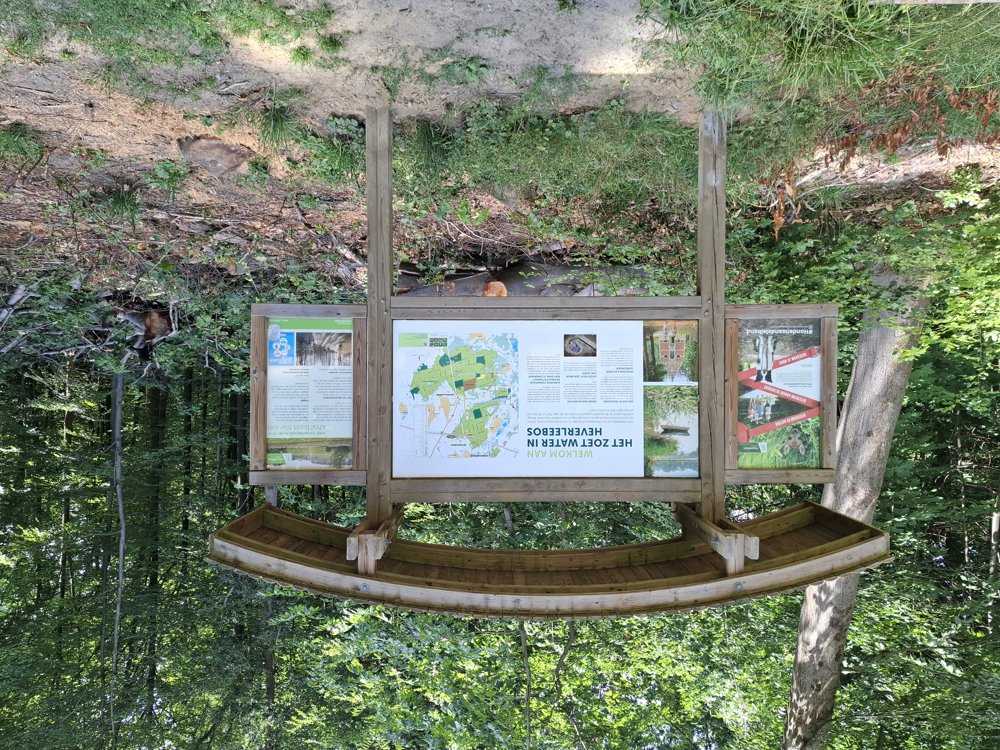
After the city section, you continue through the Egenhoven Forest and along the railway line to Oud-Heverlee. After passing through Oud-Heverlee, you dive back into the Heverleebos to the starting point. The Heverleebos is beautiful with its impressive avenues.
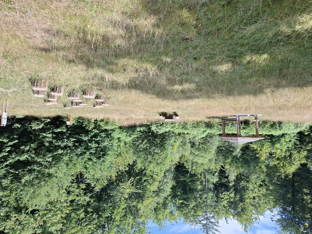
Bench(es): among others at 1.4/3.4/5.7/9/10.2 and 12.4 km.
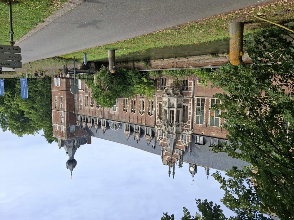
Sightseeing: Arenberg Castle.
automatic translation
 nodes to follow
0 km

0.1 km
0.5 km
0.9 km
2.9 km
3.3 km
3.4 km
4.3 km
5.4 km
5.7 km
7.1 km
8.7 km
9.2 km
10.2 km
11.3 km
11.6 km
12.2 km
12.3 km
12.4 km
12.7 km

12.8 km
Sunday, April 12, 2026 by Jo GraphicA beautiful walk. Very diverse scenery! Highly recommended
automatic translation
Monday, April 6, 2026 by F.M.A superb, varied route with beautiful bodies of water, marshes, and forest trails. I'm saving this one—I'll definitely do it again!
automatic translation


 Upgrade to Premium Plus
