 Hiking
 Login
Login More
More EN
EN Premium
Clean Oak Walk
automatic translation
7.9 km • Hoeilaart
 official route
8151 7 3.6/5
route offered by
 Addresse starting point (approximate)
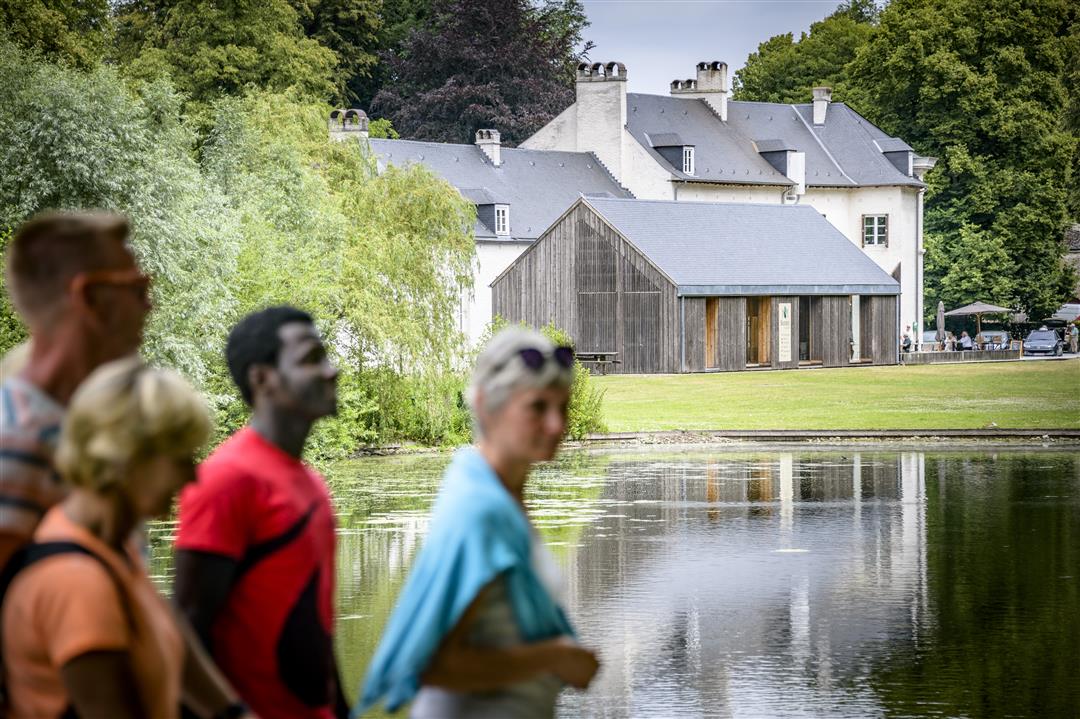
Kasteel van Groenendaal, Duboislaan 1, 1560 Hoeilaart
 signage
The route is signposted with thematic signs (no nodes). You can use a GPS device or our app to follow the route through the virtual nodes.
 Description
Walk through the Sonian Forest between Hoeilaart and Sint-Genesius-Rode, passing sometimes very old and surprising trees. On one of the forest roads you'll come across a summer oak that's up to 300 years old, hence the name of this hike.
Note: This is a hike on a virtual hiking network. The nodes are not signposted on the property. Follow the wooden posts with red tape.
This hike is offered by Tourism Flemish Brabant and the Agency for Nature and Forests.
automatic translation
 nodes to follow
0 km
0.4 km
0.9 km
1.6 km
2.2 km
3.9 km
3.9 km
4 km
5.2 km
6.3 km
7.1 km
7.5 km
7.9 km
Wednesday, May 1, 2024 by Annemie CeulemansBeautiful hike, all the time among greenery, high and beautiful beeches. The signage has apparently been renewed because the route is well and clearly indicated on posts all along the walk: red sign with black arrow. If you enter the parking lot you have on your left a white house, there is the first arrow already there.
automatic translation
Saturday, February 12, 2022 by Patrick FeytensFollow the red ARROW. At the Groenendaal Castle & Sonian eatery parking lot, the 1st red arrow is on the pole at the entrance to the parking lot.
automatic translation
Sunday, January 31, 2021 by Tim Van wassenhoveParking lot is as already mentioned still some distance from the first red-headed wooden post.... Semi-paved surface made for a (mostly) wonderfully walkable path....
automatic translation
Thursday, November 12, 2020 by M.D.Two stars because of poor signage, forest itself is very beautiful (forest gets 5 stars). Is nowhere indicated which posts to follow + often missing at crucial crossroads, map in PDF not available apparently (only GPX). Could 'more or less' do the hike with cell phone in hand. Start is 15min from groenendaal station.
automatic translation
Monday, August 10, 2020 by Dany Van laethemThe hike does not actually start at the Castle of Groenendaal. The signage or start is a good 1 km from the castle. When you get there you can guess which signage to follow. Here you will find posts with yellow head, blue head, red head and with two yellow stripes. After a long search we found out that we had to follow the red head
automatic translation
Tuesday, July 7, 2020 by P.I.Been there yesterday. Signage impossible to find!
automatic translation
Sunday, May 24, 2020 by Marc VanderlindenNice walk on wide trails.
automatic translation


 Upgrade to Premium Plus
