 Hiking
 Login
Login
 More
More
 EN
EN
 Premium
Through the fields of Zoutleeuw.
automatic translation
9.9 km • Zoutleeuw
2.5441 0 0/5

 Addresse starting point (approximate)
Paardenbrugstraat 6, 3440 Zoutleeuw, BE
 signage
The route is partially signposted with nodes. Use a GPS device or our app to follow the route.
 Description
Parking: Paardenbrugstraat Zoutleeuw.
Signposting: Junction points/GPS/Walking app.
80% goes over paved agricultural and regular roads. For 1.7 km, you walk a mini Paris-Roubaix over cobblestones, the entire Koepoortstraat.
The intention was to go from junction 35 to 33, but at the chapel Maria van Rust, this junction is no longer indicated, and we walked through the parking lot to the city park.
Bench(es): amongst others at 0.8/2.2/3.5/7.9/8.4 and 9 km.
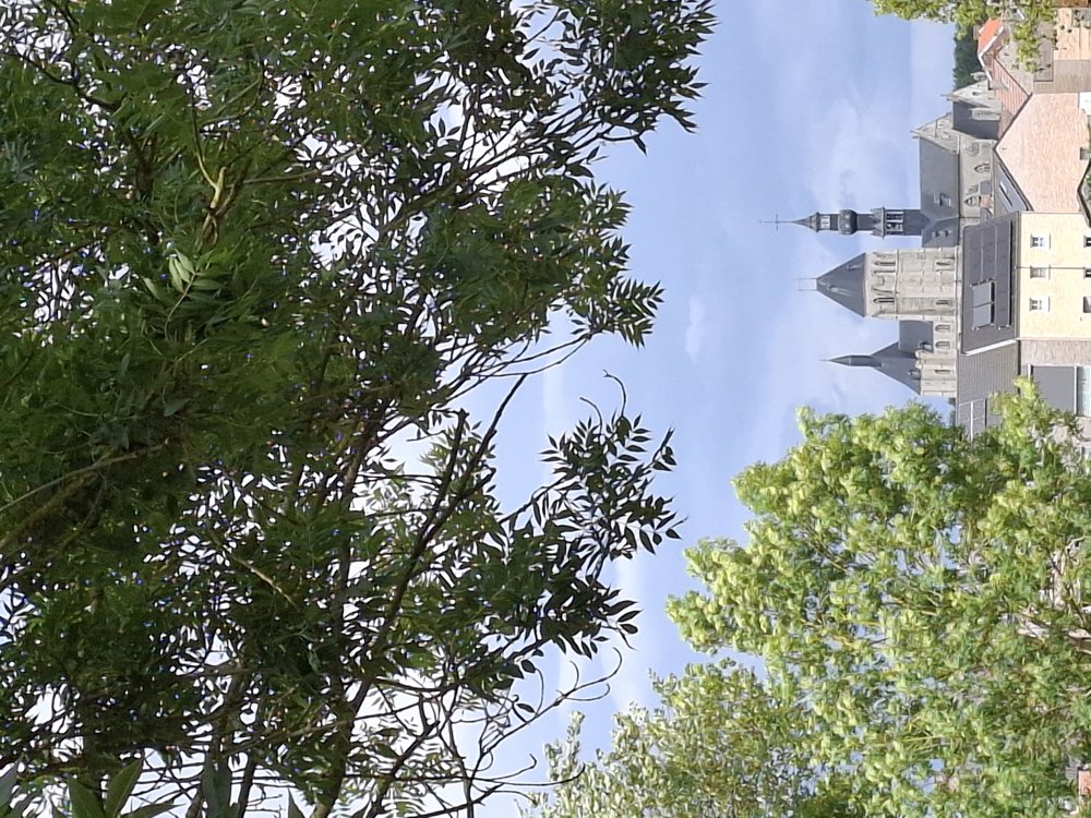
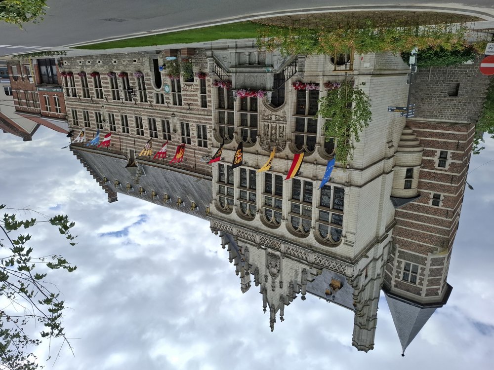
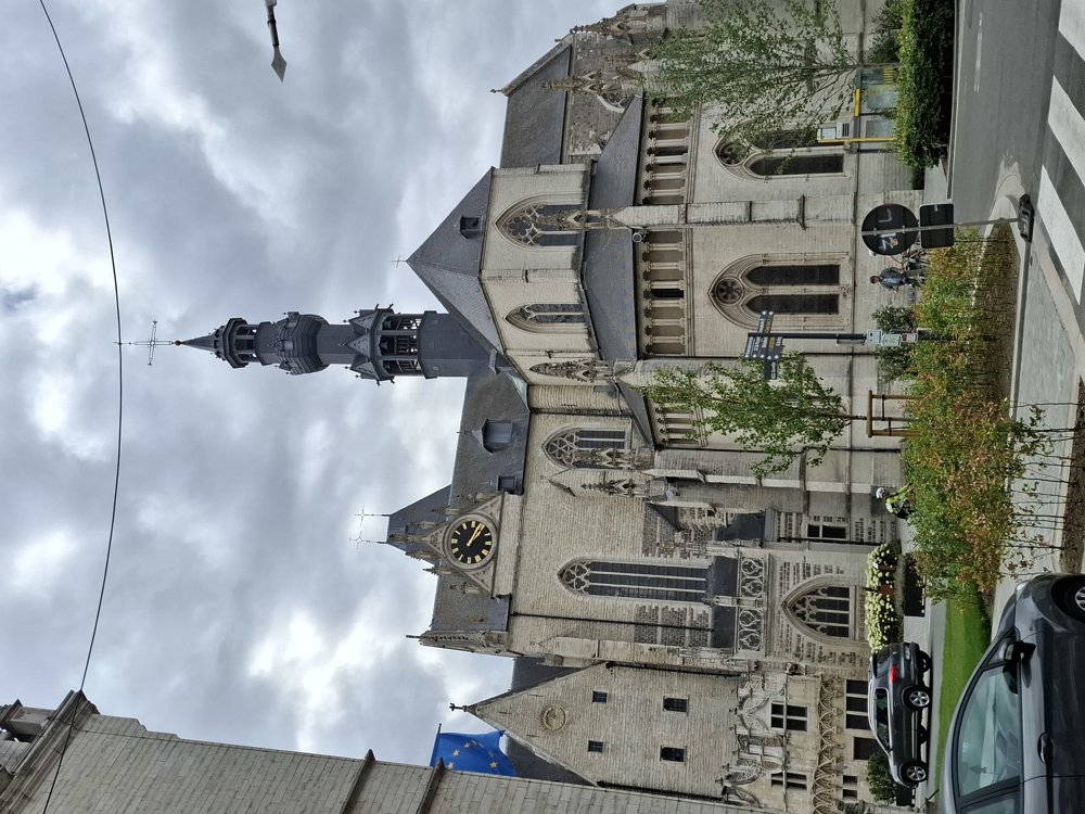
Attractions: The beautiful Town Hall and the impressive Saint Leonard's Church.
Catering: Centre of Zoutleeuw.
automatic translation
 nodes to follow
0 km
0.2 km
0.9 km
1.1 km
2.2 km
2.4 km
3.5 km
3.6 km
5 km
5.3 km
6.3 km
7 km
7.9 km
8.1 km

8.3 km
8.5 km
8.7 km
8.9 km
9.1 km
9.2 km
9.3 km
9.4 km
9.6 km
9.8 km

9.9 km


 Upgrade to Premium Plus
