
 Hiking
 Login
Login
 More
More
 EN
EN
 Premium
Brugelette 14 km
automatic translation
14.7 km • Brugelette
2.5045 0 0/5

 Addresse starting point (approximate)
Avenue du Château, 7941 Attre, BE
 signage
The route is not signposted. Use a GPS device or our app to follow the route.
 Description
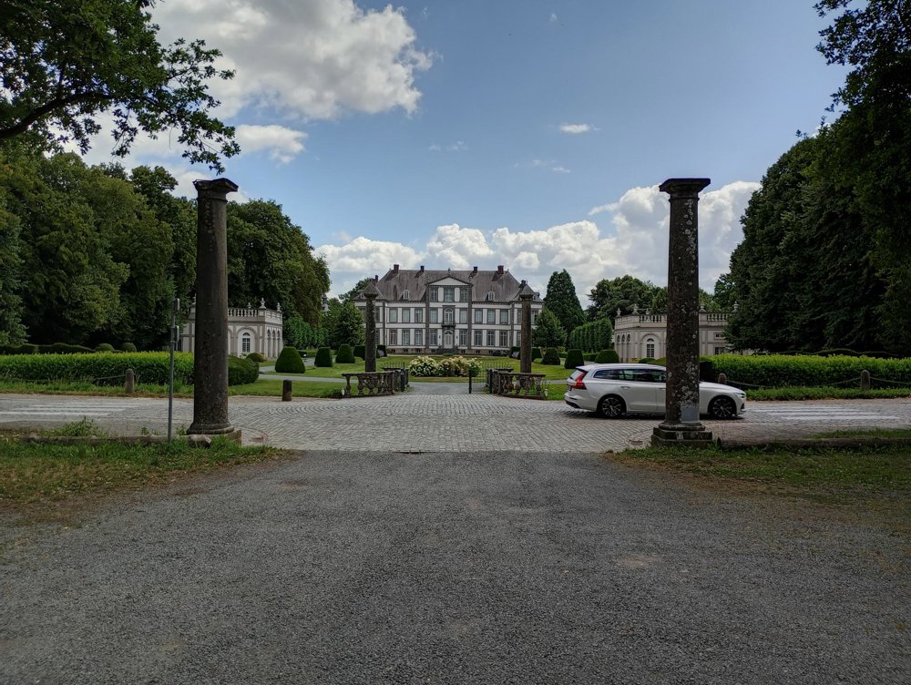
Departure: parking Chateau d'Attre - avenue du Château 14 - 7941 Attre
This hunting lodge of Knight de Meester de Heydonck is open to the public on weekends and holidays. It still retains its original furnishings and decorations. The park is crossed by the Dender River.
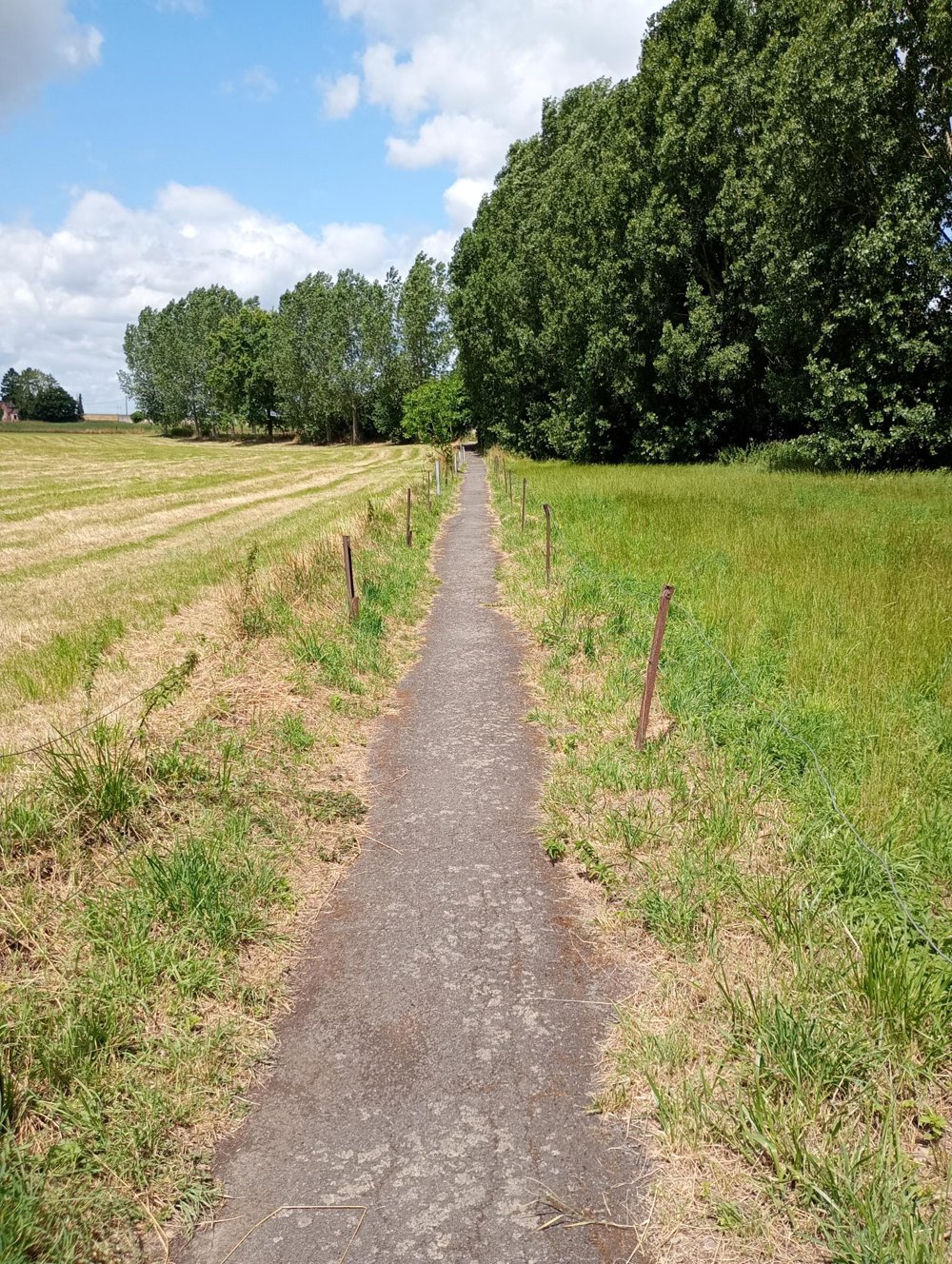
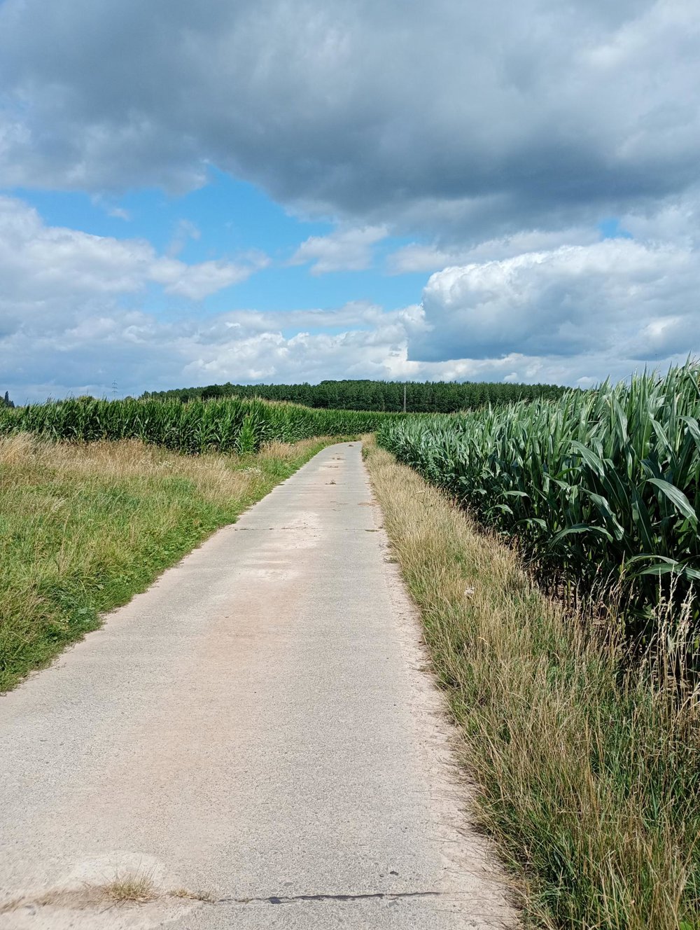
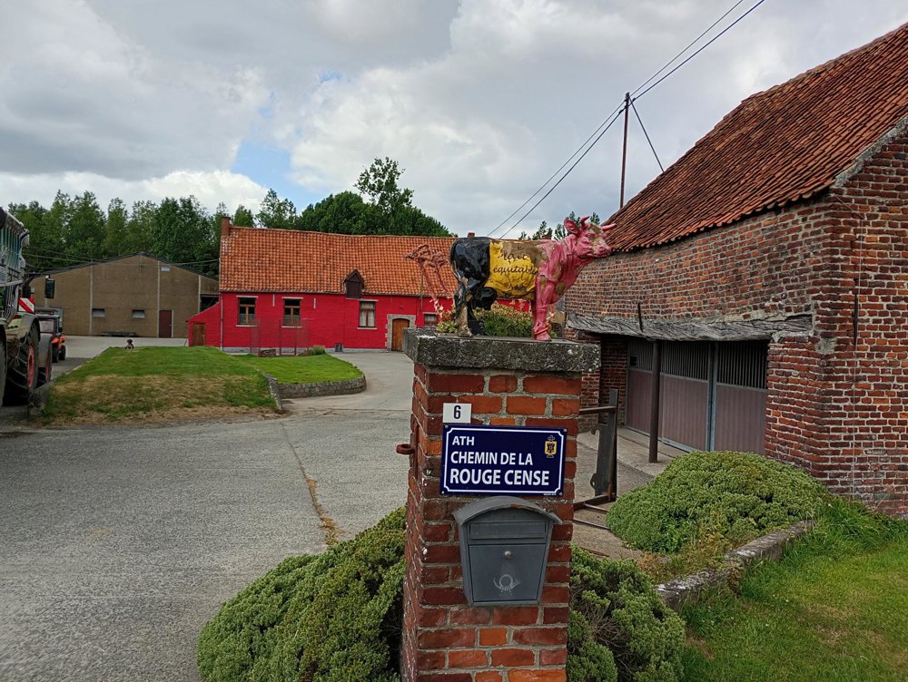
The walk itself is almost entirely paved - ideal for rainy periods when one wishes to avoid mud and dirt. The walk passes through fields and meadows, and past several dairy farms. Unfortunately, all the forests we encounter are private property. Along the way, there are no catering facilities or sanitary stops available.
automatic translation



 Upgrade to Premium Plus


