 Hiking
 Login
Login
 More
More
 EN
EN
 Premium
Through the forests at the Lieteberg.
automatic translation
9.8 km • Zutendaal
3.7281 0 0/5

 Addresse starting point (approximate)
Blookbergstraat, 3690 Zutendaal, BE
 signage
The route is not signposted. Use a GPS device or our app to follow the route through the virtual nodes.
 Description
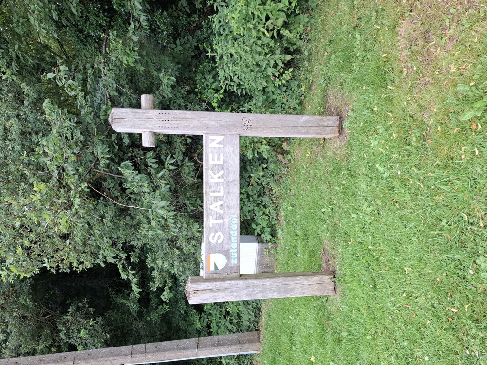
Parking: Lieteberg Parking, Stalkerweg Zutendaal.
Signposting: GPS/Walking app (virtual junctions).
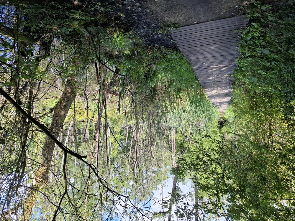
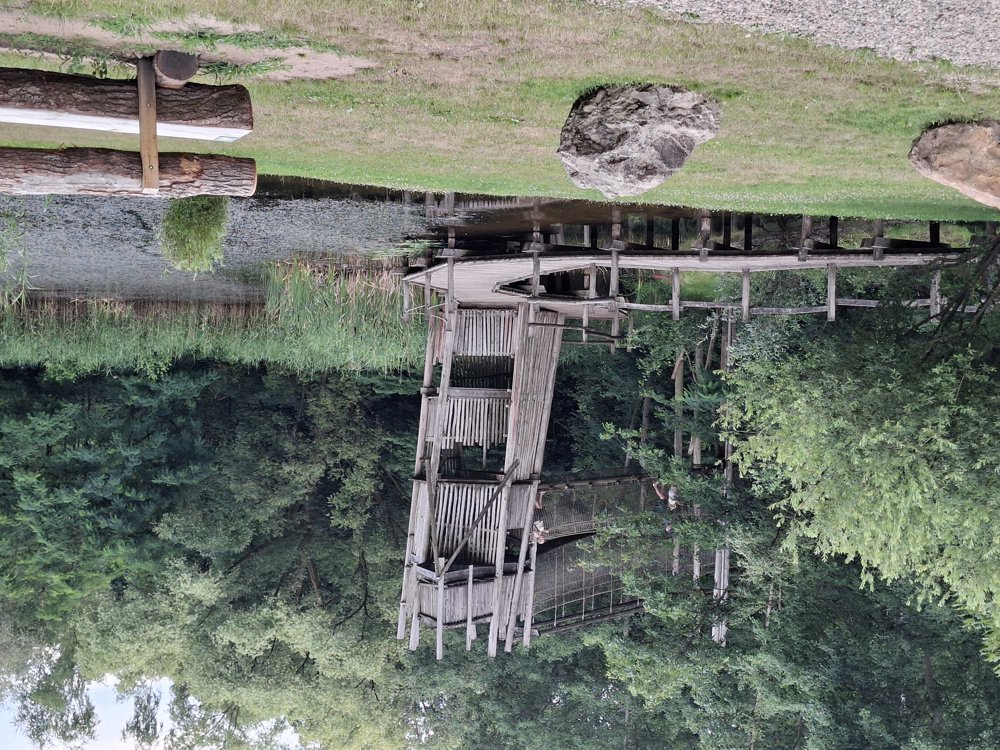
Beautiful, shaded, and quiet walk through the forests of the 'Hoge Kempen National Park'. You walk over wide forest paths and occasionally a piece of asphalt. For those who still have energy: you pass the barefoot path. Definitely worth doing.
Bench(es): among others after 1.9 / 6.1 / 7.4 and 9.3 km.
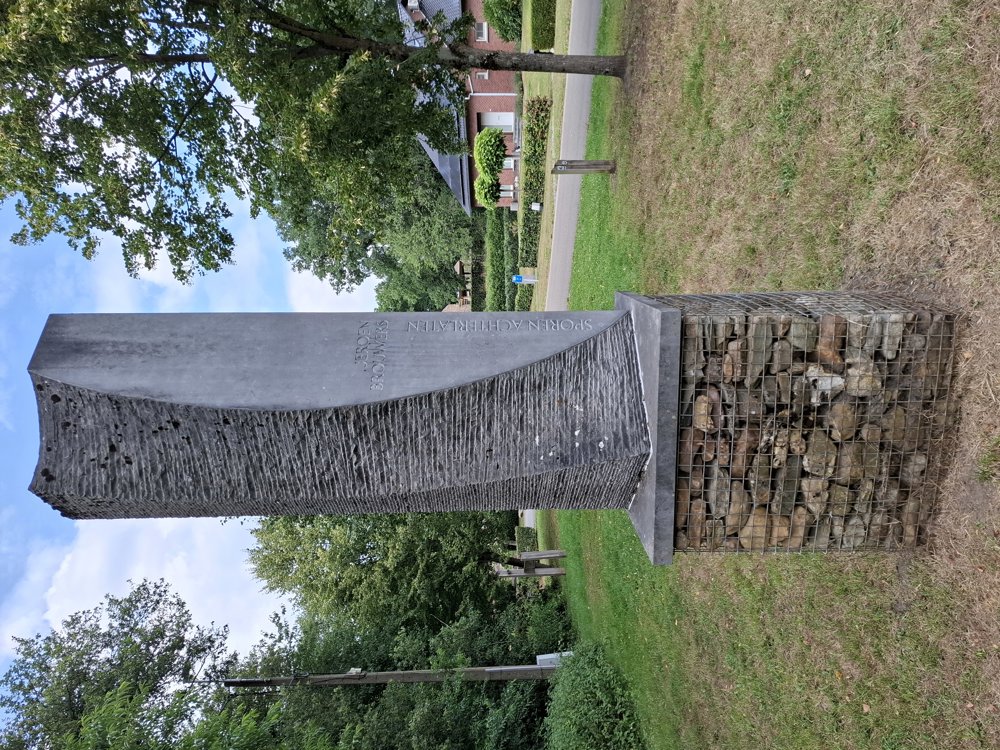
Attractions: In Stalken, you pass the artwork 'Ontluiking', in honor of the Dutch writer Jeroen Brouwers.
Catering: Tourist service Zutendaal, at the barefoot path.
automatic translation
 nodes to follow
0 km

0.1 km
0.3 km
1.9 km
2.6 km
3.1 km
4.1 km
4.9 km
5.8 km
6.8 km
7.2 km
7.5 km
8.2 km
8.3 km
8.8 km
8.8 km
9.4 km
9.5 km

9.8 km


 Upgrade to Premium Plus
