 Hiking
 Login
Login More
More EN
EN Premium
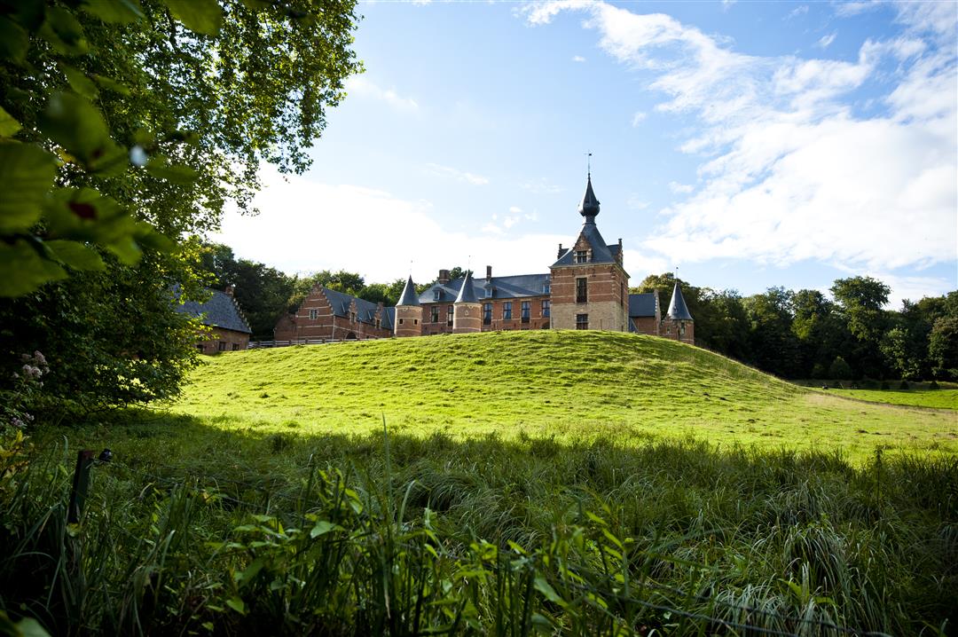
Hiking on the Brabant Slate Plateau
automatic translation
13.1 km • Bertem
 official route
1.5801 5 4.3/5
route offered by
 Addresse starting point (approximate)
Sint-Lambertuskerk, Neerijsesteenweg/Dorpstraat, 3061 Leefdaal (Bertem)
 signage
The route is fully signposted with nodes.
 Description
From the center of Leefdaal you climb out of the valley of the Voer, onto the Brabant loam plateau. You overlook a beautiful, gently sloping patchwork of fields, woods, meadows and wooded banks. On fine days you can even see Leuven. Here and there you dive into a hollow road. At the end of your hike you pass by the Saint-Verona chapel, worth stopping for. Afterwards the Voer takes you back to the center of Leefdaal.
This walk is offered by Tourism Flemish Brabant.
automatic translation
 nodes to follow
0 km
0.1 km
1.3 km
1.3 km
1.3 km
1.6 km
1.7 km
2.7 km
3.3 km
4.4 km
5.3 km
5.6 km
6.6 km
7.2 km
8.1 km
8.6 km
8.7 km
9.5 km
10.9 km
12.7 km
12.9 km
13.1 km
Sunday, February 26, 2023 by W.N.Beautiful hike indeed. Beautiful views. Definitely recommended. On a cold day around freezing like today, the cold wind blows across the plateau. Not really pleasant. So choose your day ;-).
automatic translation
Sunday, September 19, 2021 by M.M.Very nice walk with variety! Beautiful vistas, along a stream with enormous toads, between meadows with horses, farms, starting in a cozy village center. No opportunity to have a drink/snack afterwards, though.
automatic translation
Sunday, July 25, 2021 by H.D.Wonderful hike along beautiful field and hollow roads. Even on a Sunday afternoon few people on this route. The last 5km were new to me, even though we know this area well. Highly recommended !
automatic translation
Tuesday, October 20, 2020 by V.W.We did this hike on a Sunday. There is a lot of mountain biking on the trail which was really annoying at times. Also, up to 3 times cross bikes came along .... The hike itself is along unpaved, wide roads, rarely a hiking trail. There are some beautiful sections and vistas we enjoyed though.
automatic translation
Sunday, August 16, 2020 by I.C.A very nice walk along several hollow roads, with here and there a hidden bunker. Beautiful views and varied walks through fields or along forest edges. Very worthwhile!
automatic translation


 Upgrade to Premium Plus
