 Hiking
 Login
Login
 More
More
 EN
EN
 Premium
Day hike Halle
automatic translation
22.5 km • Zoersel
2.6635 0 0/5

 Addresse starting point (approximate)
Schegelbaan, 2980 Zoersel, BE
 signage
The route is partially signposted with nodes. Use a GPS device or our app to follow the route.
 Description
Parking: Boshuisweg/Peggerstraat in Zandhoven
Signage: Hiking app/GPS
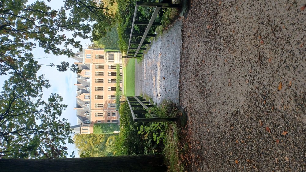
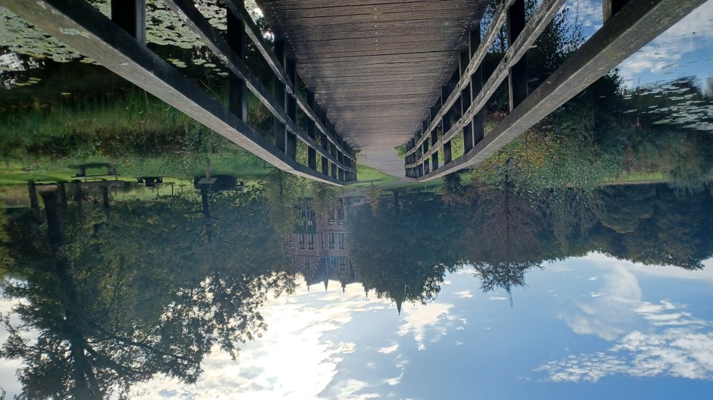
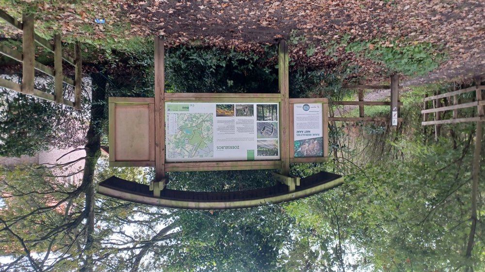
This 'Dagstapper' mostly follows junction points, but occasionally deviates. The walk goes through the Zoerselbos, where you walk a part of the longest GR trail in Europe. Via the Emma path and Hallehof park, it goes to the Pieren path up to the anti-tank ditch, the Vrieselhof (you can also start here), and the fort of Oelegem. Nice day walk.
Bench(es): among others after 1.5/2.7/4.3/6.3/9.5/10.8/12.8/15.8/16.8/18.4 and 20.3 km.
Sights: Vrieselhof / Fort of Oelegem.
Catering: At various points along the route.
automatic translation
 nodes to follow
0 km
0.5 km
0.5 km
1.5 km
1.8 km
2.4 km
4.3 km
4.9 km
5.8 km
6.1 km

6.4 km
6.7 km
7.7 km
8.2 km
8.5 km
9 km
9.5 km
9.8 km
9.9 km
10.7 km
11.4 km
11.5 km
11.7 km
11.8 km
12.7 km
12.8 km
13.8 km
14 km
15.3 km
15.7 km
15.9 km
16.7 km
16.8 km
16.8 km
17.2 km
17.4 km
17.8 km
18.2 km
18.3 km
18.4 km
19.4 km
20.1 km
20.2 km
20.6 km
20.7 km
20.8 km
20.9 km
21.1 km
21.3 km
21.6 km
22.1 km
22.5 km


 Upgrade to Premium Plus
