
 Hiking
 Login
Login
 More
More
 EN
EN
 Premium
The Royal Route in the Arboretum of Tervuren
automatic translation
7.3 km • Tervuren
3.2939 1 5/5

 Addresse starting point (approximate)
Kwekerijweg, 3080 Tervuren, BE
 signage
The route is not signposted. Use a GPS device or our app to follow the route through the virtual nodes.
 Description
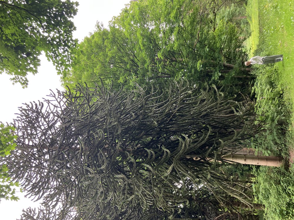
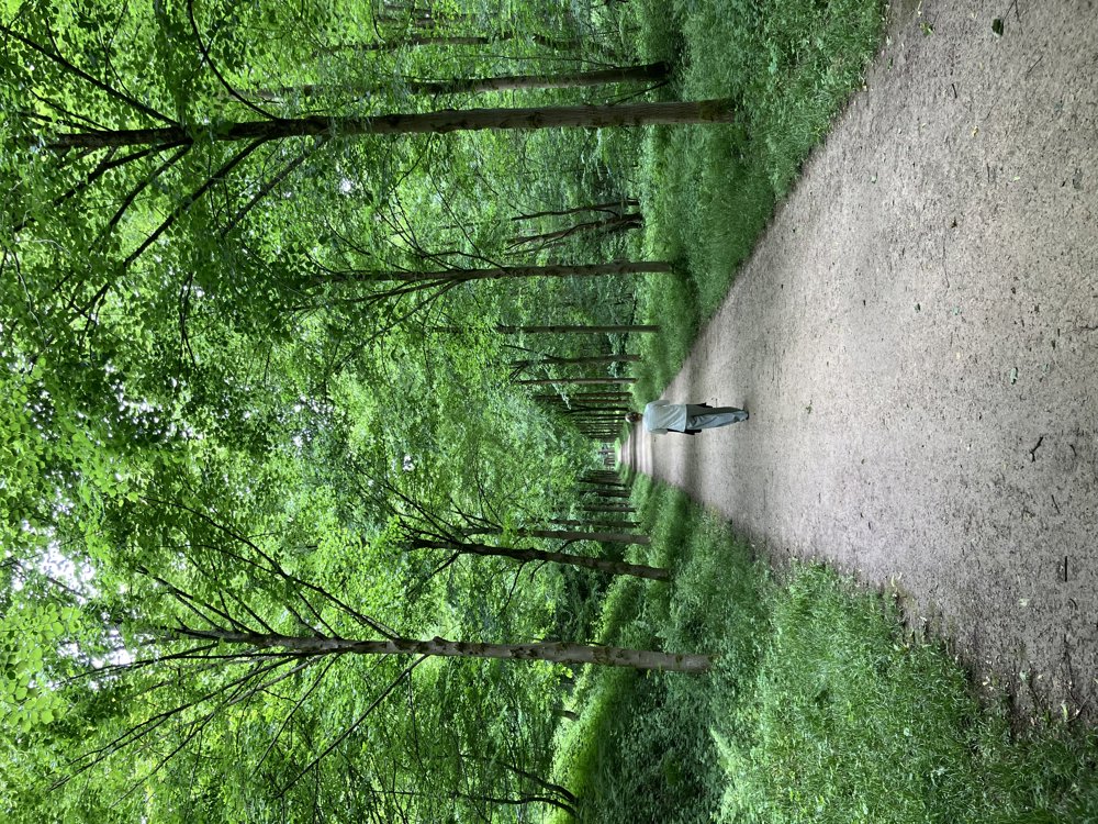
This is a very pleasant walk of about 7.5 km, which can certainly serve as a first introduction to the Tervuren Arboretum.
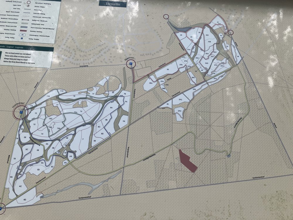
Recommended as a family walk. The route is also suitable for wheelchair users and strollers. We parked at the parking area at the end of Eikestraat in Tervuren, and we started the walk at the virtual walking junction 418. The route is fully signposted.
Along the way, there are numerous rest benches. In various places, there are also numeric markers that allow the walker to document themselves on the different tree species via a QR code. In short: an accessible oasis of calm for almost everyone in the immediate vicinity of Brussels.
automatic translation
 nodes to follow
0 km
1 km
1.8 km
1.8 km
1.8 km
2.6 km
3.3 km
5.8 km
6 km
7.3 km



 Upgrade to Premium Plus


