Loading...

Round Heusden

automatic translation

8.1 km • Heusden-Zolder

1.2721 0 0/5

8.1 km 0.0 km 0.0 km

route offered by

Jan Theunis

Icon starting point Addresse starting point (approximate)

Finse piste Bouworde, 3550 Heusden-Zolder, BE

Icon type signage of route signage

The route is not signposted. Use a GPS device or our app to follow the route.

5m 5m 5m 5m
Atmosphere image 1 of route Round Heusden
© Jan Theunis

Icon description route Description

Parking: Parking athletics stadium De Veen Heusden-Zolder (via the Dijkstraat).

Signage: Walking app/GPS

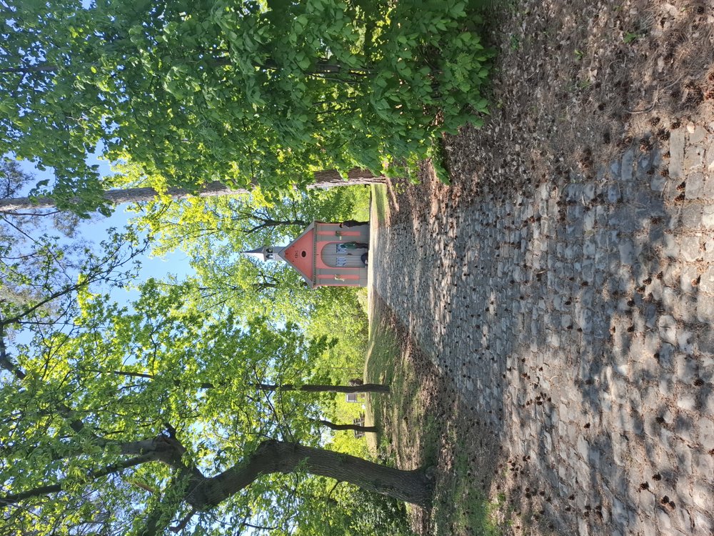
You walk towards the Saint-Jans woods with its beautiful chapel on the top. A bit further, you cross the busy Guido Gezellelaan and head to the Mangelbeek Valley. Along the Mangelbeek and a stretch of bike path and paved roads, you eventually end up in the woods of Eversel (Domain forest of Soest). Beautiful walk, but you need to cross a busy road twice.

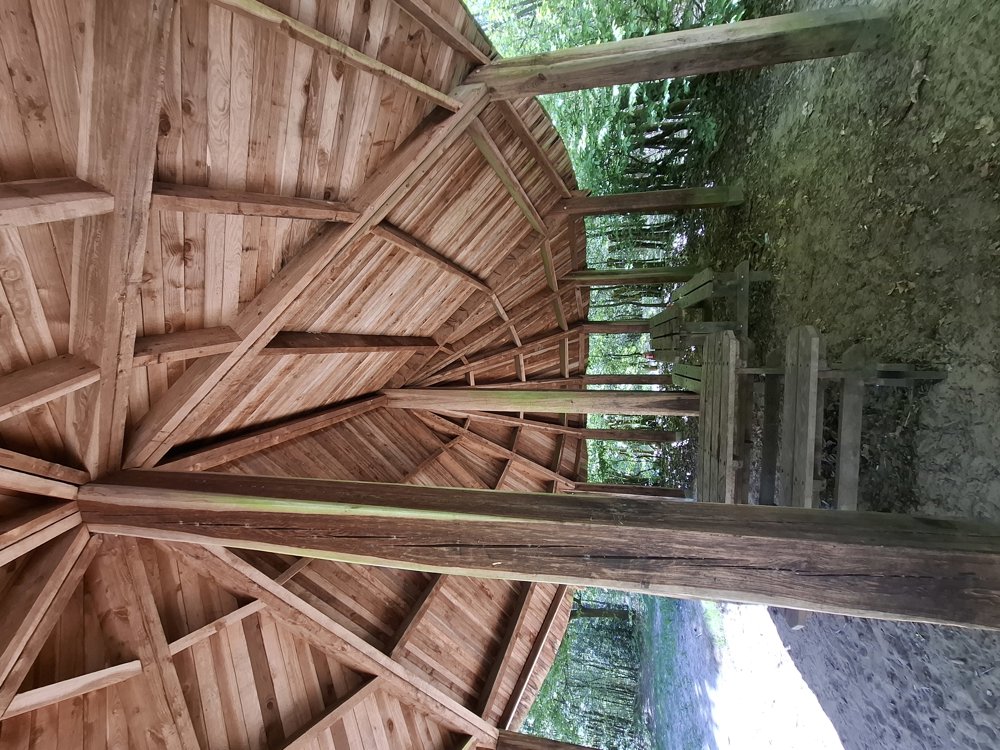
Bench(es): among others after 2.1/3.8/5.9/6.5 and 7.4 km.

Attractions: Saint-Jans Chapel / Playhouse.

automatic translation

Icon nodes to follow nodes to follow

Icon start route
0 km
Icon deviation route
0.4 km
Icon deviation route
0.8 km
Icon deviation route
1.1 km
Icon deviation route
1.3 km
Icon deviation route
1.7 km
Icon deviation route
2.3 km
Icon deviation route
2.6 km
Icon deviation route
3.4 km
Icon deviation route
3.4 km
Icon deviation route
3.5 km
Icon deviation route
3.5 km
Icon deviation route
3.5 km
Icon deviation route
3.7 km
Icon deviation route
3.8 km
Icon deviation route
3.9 km
Icon deviation route
3.9 km
Icon deviation route
3.9 km
Icon deviation route
3.9 km
Icon deviation route
3.9 km
Icon deviation route
4.3 km
Icon deviation route
5.2 km
Image node 60
5.6 km
Image node 65
6.1 km
Image node 66
6.3 km
Image node 68
6.5 km
Image node TP
7.6 km
Icon deviation route
7.7 km
Icon deviation route
8 km
Icon stop route
8.1 km
This route does not have any reviews yet. Be the first!
Rate route!

Which POI do you want to show on the map?

Experimental hiking network
Unsigned icon

The route you have chosen runs (partly) along an experimental virtual hiking node network (the blue-coloured nodes and sections on the map).

You must be logged in to plan routes here.

Experimental hiking network
Unsigned icon

The route you have chosen runs (partly) along an experimental virtual hiking node network (the blue-coloured nodes and sections on the map).

These routes are not controlled in the field. Before you start hiking here, take a minute to read what an experimental hiking node network is and what rules you should follow when hiking here.