 Hiking
 Login
Login
 More
More
 EN
EN
 Premium
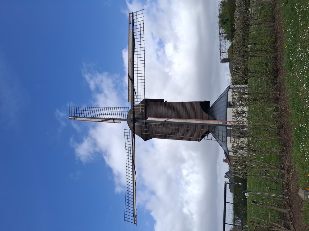
Lost Cost Mill
automatic translation
7.6 km • Diest
1.6762 0 0/5
7.6 km
0.0 km
0.0 km

 Addresse starting point (approximate)
Sint-Hubertusplein 8, 3290 Diest, BE
 signage
The route is partially signposted with nodes. Use a GPS device or our app to follow the route.
© Jan Theunis
 Description
Parking: Sint-Hubertusplein, Schaffen
Signage: Partially Junctions/Hiking app/GPS
Hike through the fields and the “Kelbergen” nursery, the first 800 m are along the road. This is a short version of the Kelbergen hike where you pass by the ‘Verloren Kostmolen’.
Bench(es): among others, after 2.3 and 3.3 km.
Attractions: Verloren Kostmolen.
automatic translation
 nodes to follow
0 km

0.4 km
1.4 km
1.8 km
2.4 km
4 km
4.7 km
7 km
7.4 km

7.6 km


 Upgrade to Premium Plus
