 Hiking
 Login
Login
 More
More
 EN
EN
 Premium
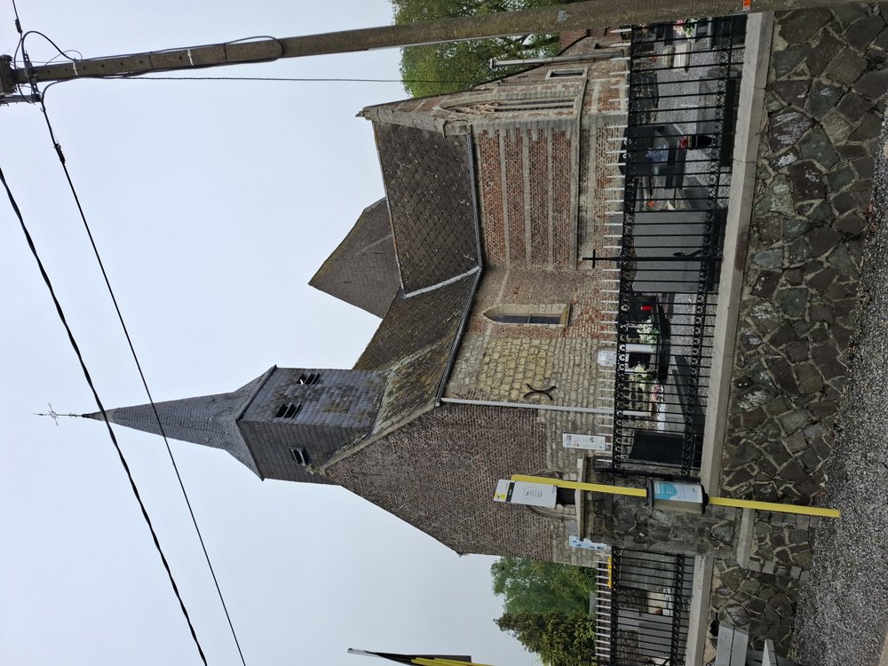
Surprisingly beautiful Hageland.
automatic translation
18 km • Zoutleeuw
3.3505 1 5/5
18 km
0.0 km
0.0 km

 Addresse starting point (approximate)
Terweidenstraat 44, Zoutleeuw, BE
 signage
The route is fully signposted with nodes.
© Jan Theunis
 Description
Parking: At the corner of Terweidestraat and Spiegelstraat in Budingen.
Signage: Junctions.
Although most of it is paved, this is still a beautiful walk through the Hageland. The sections through the forest strips are surprisingly pleasant to walk through. A very quiet walk, alternating through fields, orchards, and forest areas.
After junction 352, follow the detour along footpath 77; the original route is closed.
Bench(es): among others after 2.4/2.9/5/6.2/10.8/12.1 and 15.8 km.
automatic translation
 nodes to follow
0 km
0 km
1.6 km
1.9 km
4.3 km
5 km
5.2 km
6.2 km
7.1 km
8.1 km
8.7 km
8.9 km
10.8 km

11.2 km
11.4 km
11.8 km
12.4 km
12.8 km
13.7 km
14 km
14.2 km
15.9 km
16 km
17.2 km
17.9 km

18 km


 Upgrade to Premium Plus
