 Hiking
 Login
Login
 More
More
 EN
EN
 Premium
Nature and Culture.
automatic translation
17.1 km • Lier
1.9384 1 3/5

 Addresse starting point (approximate)
Fortweg 24, 2500 Lier, BE
 signage
The route is fully signposted with nodes.
 Description
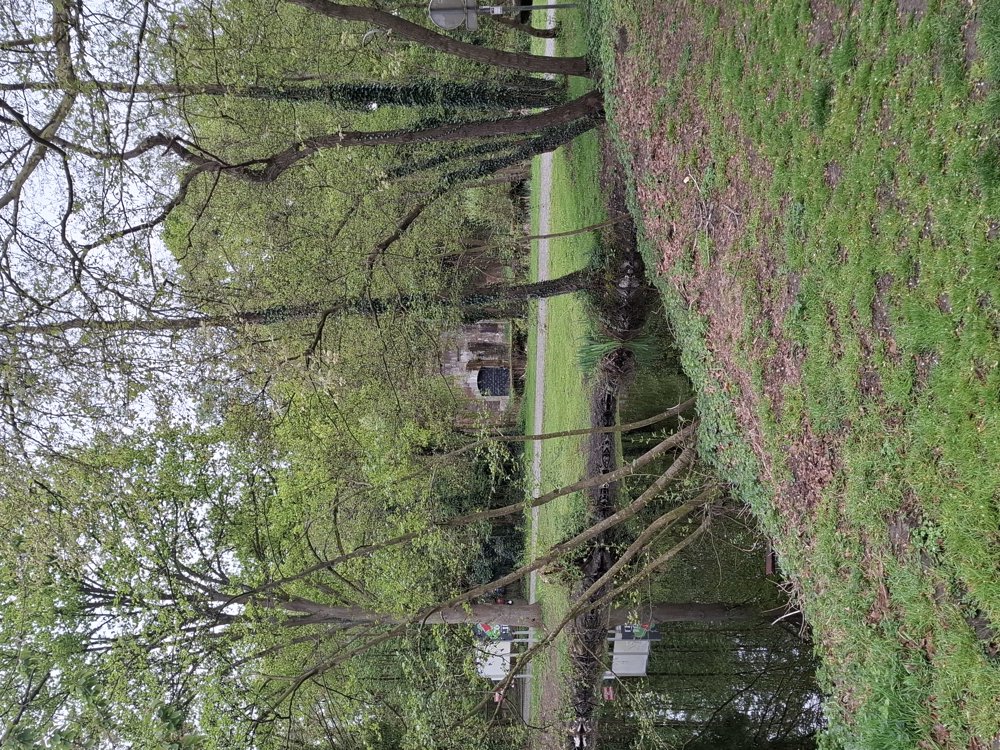
Parking: Fort of Lier, Fortweg Lier.
Signage: Junctions.
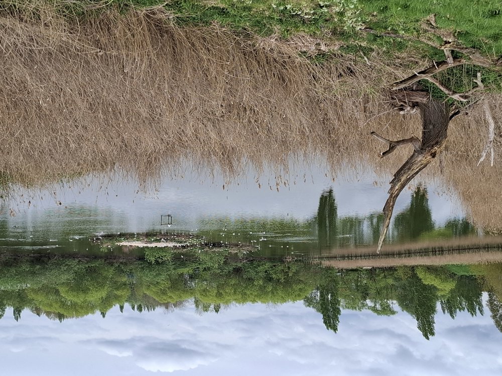
First a little stretch through nature along the moat of the fort and through the meadow. The "ugliest" part is from 2.7 to 5.1 km (Spreet); this is an ordinary street with quite a lot of traffic. Then you walk through the 'Mushaagbos', short but beautiful, with various flowers. Then 800 m along the bike path by the Berlaarsesteenweg; stay on the right side of the road, because just over the bridge you must carefully go down to the right. Along the Nete Canal, it continues to the 'Nete' and the historic center of Lier. All in all, a fun varied walk with both culture and nature.
Bench(es): among others after 0.7/8.8/9.9/11.9/12.7 and 14.2 km.
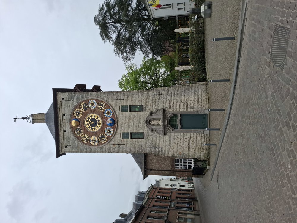
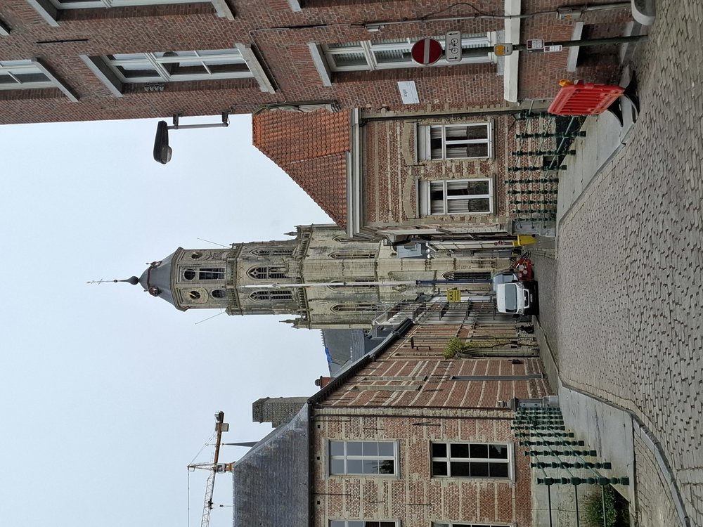
Sights: Fort of Lier, Beguinage, Zimmer Tower, Saint Gummarus Church.
Catering: Center of Lier.
automatic translation
 nodes to follow
0 km
0.4 km
1.2 km
3.6 km
5.1 km
5.6 km
6.5 km
6.8 km
7 km
7.2 km
7.3 km
7.3 km
7.7 km
10 km
10.2 km
11.9 km
11.9 km
12.1 km
12.2 km
12.4 km
12.7 km
13 km
13.7 km
13.9 km
14.2 km
14.8 km
14.8 km
15.2 km
15.5 km
15.5 km
15.6 km
17.1 km

17.1 km
Thursday, January 22, 2026 by H.V.Please take another look at the description above. The ugliest part is probably between junctions 9 and 44 and between junctions 20 and 12 (Berlaarsesteenweg). I passed Spreet and didn't find it particularly ugly or busy. I know there was a diversion for a while due to roadworks on Aarschotsesteenweg, but that's over now.
automatic translation


 Upgrade to Premium Plus
