Loading...

Kain (Tournai) 10 km

automatic translation

9.7 km • Tournai

1.5211 1 5/5

9.7 km 0.0 km 0.0 km

route offered by

Peter XX

Icon starting point Addresse starting point (approximate)

Chemin Du Vieux Comté 1, 7542, BE

Icon type signage of route signage

The route is not signposted. Use a GPS device or our app to follow the route.

5m 5m 5m 5m
Atmosphere image 1 of route Kain (Tournai) 10 km Atmosphere image 2 of route Kain (Tournai) 10 km Atmosphere image 3 of route Kain (Tournai) 10 km
© Peter D'hont

Icon description route Description

Departure: 2, rue de Billemont, Mont Saint Aubert

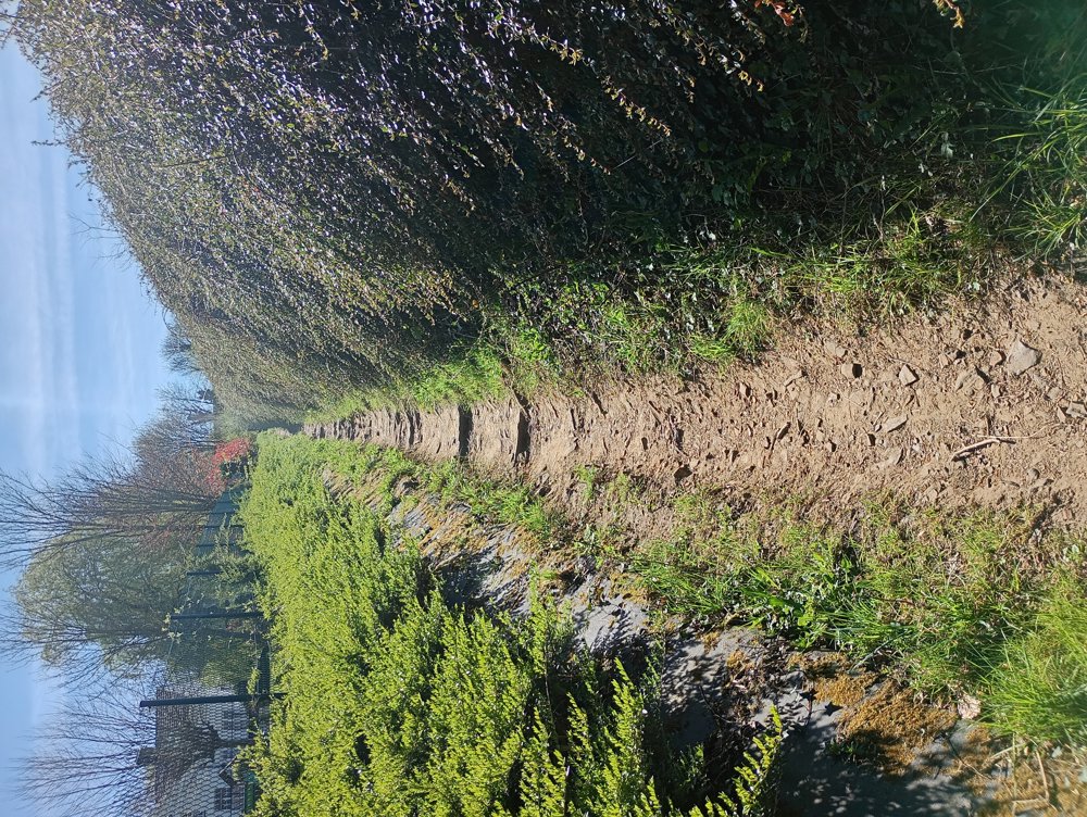
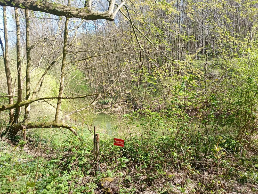
The first kilometer is the toughest. We climb up through the Bois du Mont to the church of Saint Aubert. There, we have a beautiful panoramic view over this wonderful region. Because this is quite a steep climb and the forest path has washed away mostly, good shoes and walking sticks are definitely recommended during rainy periods.

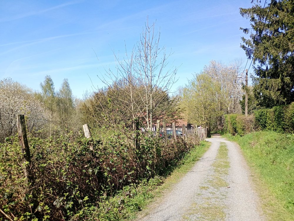
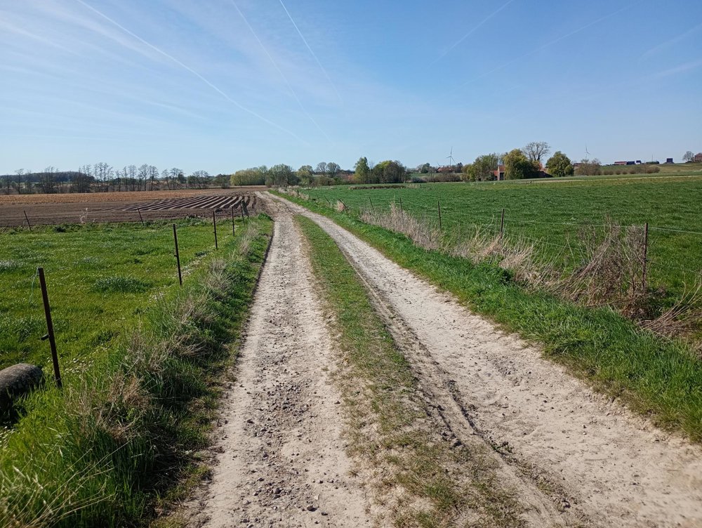
Afterwards, we descend again to make a flat regional walk through the fields and small hamlets.

automatic translation

This route has 1 review(s).
Rate route!

Thursday, May 14, 2026 by OLIVIER DUPONTA beautiful hike in July 2025. I prefer to park at the top of the mountain. It’s easier because there are plenty of official parking lots.
automatic translation

Which POI do you want to show on the map?

Experimental hiking network
Unsigned icon

The route you have chosen runs (partly) along an experimental virtual hiking node network (the blue-coloured nodes and sections on the map).

You must be logged in to plan routes here.

Experimental hiking network
Unsigned icon

The route you have chosen runs (partly) along an experimental virtual hiking node network (the blue-coloured nodes and sections on the map).

These routes are not controlled in the field. Before you start hiking here, take a minute to read what an experimental hiking node network is and what rules you should follow when hiking here.