 Hiking
 Login
Login
 More
More
 EN
EN
 Premium
Walking through the orchards
automatic translation
15.6 km • Tongeren-Borgloon
1.2382 0 0/5

 Addresse starting point (approximate)
Lambertusstraat 119, 3840 Borgloon, BE
 signage
The route is not signposted. Use a GPS device or our app to follow the route through the virtual nodes.
 Description
Parking: Central Cemetery Borgloon, Lambertusstraat.
Signage: Hiking app/Virtual Junctions.
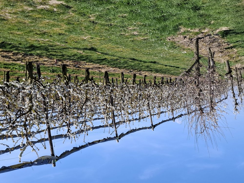
Beautiful hilly walk (140 meters elevation gain). We are a week early (2/4/25) to admire the splendor of the blossoms. Very rarely was there a plot already in full bloom. But even without the blossoms, the walk is worth it.
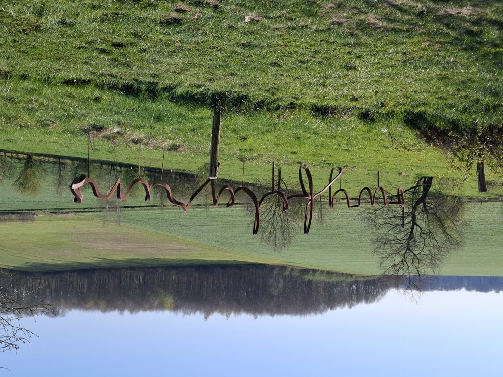
After about 2.2 km, you have a view of the famous see-through church (look up to the left). You also pass an artwork that at first glance seems to be a piece of twisted iron, but when you stand in the right position, it reads 'doubt border' ... nicely done. The paths and roads are accessible everywhere.
Benches: among others after 1.1/2.4/2.8/3.5/5/9.2 and 11.3 km.
Attractions: See-through church (from a distance) / Roman Villa (2.8 km) / doubt border (3.5 km) / Witch Tjenne (11.5 km) / Castle Hulsberg.
automatic translation
 nodes to follow
0 km
0.1 km
0.9 km
1.1 km
1.6 km
1.6 km
2.7 km
2.9 km
3.8 km
5 km
5.5 km
8.1 km
11.5 km
14.6 km

15.5 km

15.6 km


 Upgrade to Premium Plus
