 Hiking
 Login
Login
 More
More
 EN
EN
 Premium
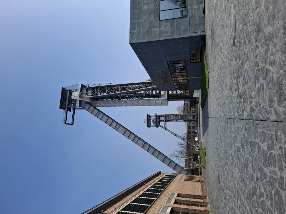
C-Mine Winterslag
automatic translation
7.1 km • Genk
1.3350 0 0/5
7.1 km
0.0 km
0.0 km

 Addresse starting point (approximate)
C-Mine 12, 3600 Genk, BE
 signage
The route is partially signposted with nodes. Use a GPS device or our app to follow the route.
© Jan Theunis
 Description
Parking: C-Mine Winterslag.
Signage: Walking app / Junction points.
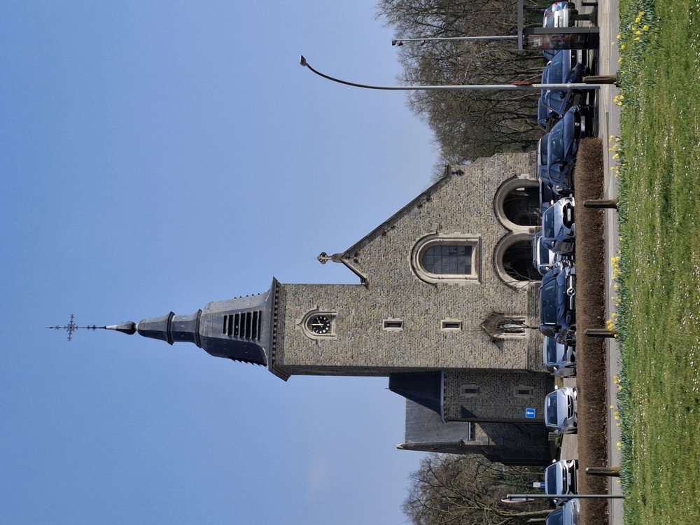
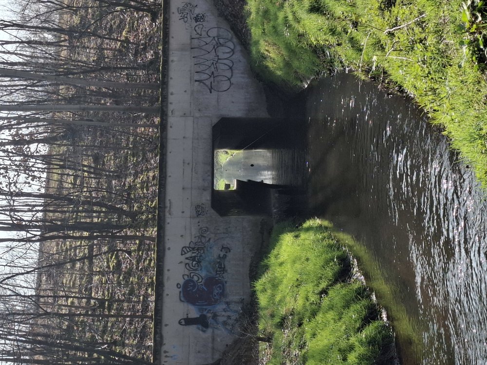
Nice varied walk. First the mining heritage of Winterslag, then through the Winterslag district, followed by the woods. Only the busy N76 is a breaker for the silence. All in all a nice walk.
Rest bench(es): e.g. after 1/3.6/4.6 and 5.1 km.
Attractions: C-Mine.
automatic translation
 nodes to follow
0 km

0.3 km
0.5 km
0.6 km
0.8 km
1 km
1.2 km
1.3 km
2.8 km
4.2 km
5.2 km
6 km
6.7 km

7.1 km


 Upgrade to Premium Plus
