 Hiking
 Login
Login
 More
More
 EN
EN
 Premium
To the highest point of the Mechelse Heide
automatic translation
4.3 km • Maasmechelen
8030 0 0/5

 Addresse starting point (approximate)
Joseph Smeetslaan 280, 3630 Maasmechelen, BE
 signage
The route is not signposted. Use a GPS device or our app to follow the route through the virtual nodes.
 Description
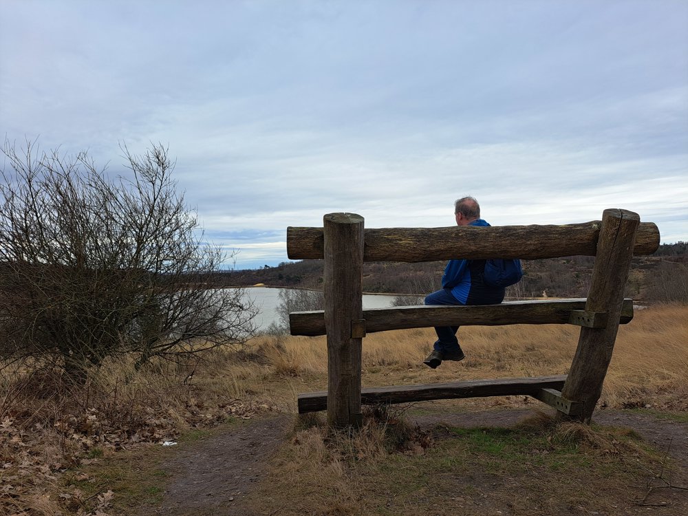
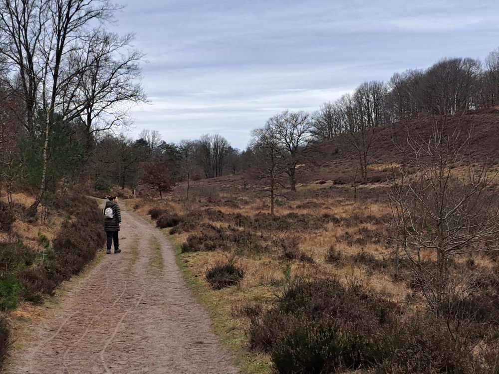
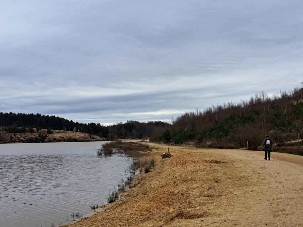
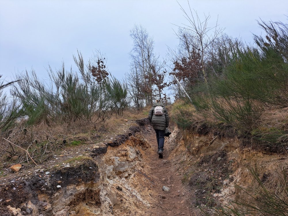
The Mechelse Heide is a popular nature reserve situated between the municipalities of As and Mechelen-aan-de-Maas. The expansive area is located on the edge of the Kempen Plateau and is part of the Hoge Kempen National Park.
This short walk takes you through the woods and along the edge of a large gravel pit to the highest point of this area. You will get a magnificent view of the region, highly recommended in clear weather. Put on sturdy walking shoes, as you will have to climb and descend quite a bit. But it is certainly worth the effort. Bring your camera!
automatic translation
 nodes to follow
0 km
0.1 km
1.2 km
1.5 km
1.7 km
1.9 km
3.1 km
3.6 km
4 km
4 km
4.1 km
4.3 km


 Upgrade to Premium Plus
