 Hiking
 Login
Login
 More
More
 EN
EN
 Premium
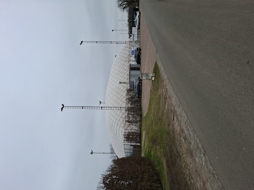
Sport Center Molenbos
automatic translation
8.4 km • Nijlen
1.8273 3 3.7/5

 Addresse starting point (approximate)
Molenbos 34, 2560 Nijlen, BE
 signage
The route is fully signposted with nodes.
 Description
Parking: Sportcenter Molenbos, Molenbos 77 Nijlen
Signposting: Junction points.
This walk takes you along the fields to the northeast of Nijlen. You mostly go on paved roads and easy-to-walk field and forest paths. Not a walk with highlights, but still nice to explore the surroundings.
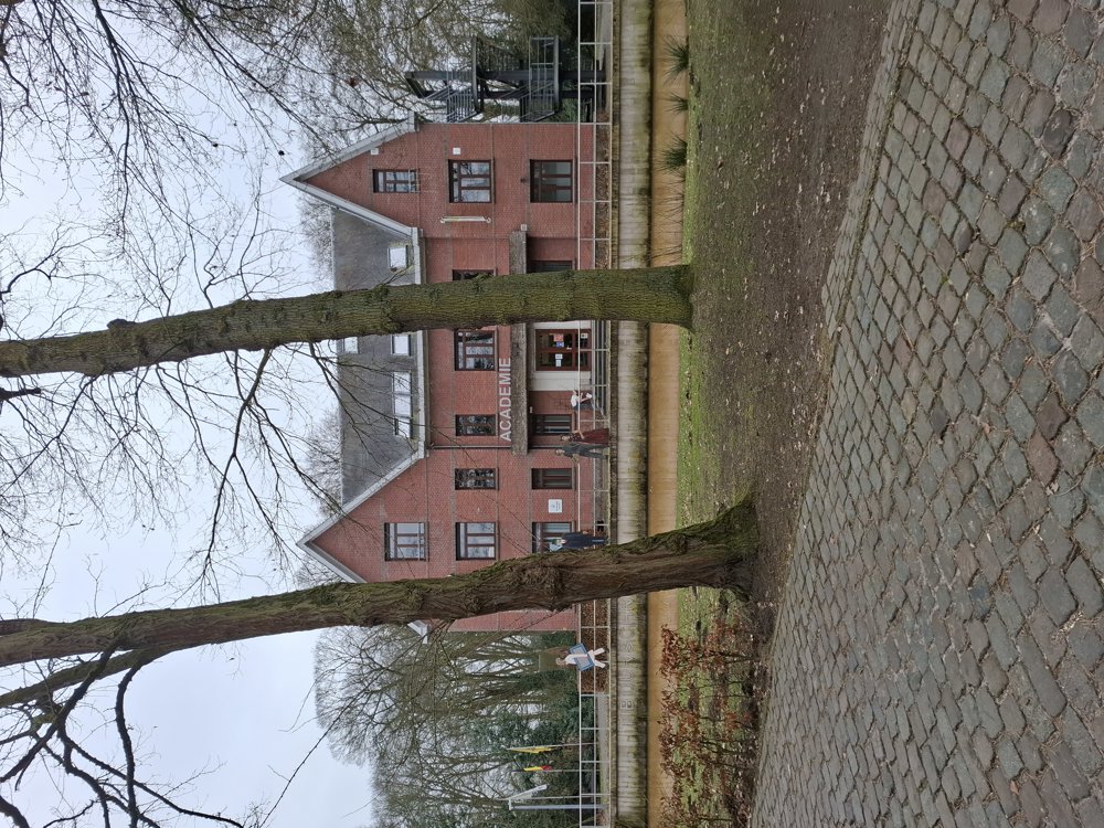
Rest benches: among others at 2.2 and 6.6 km (at the academy).
automatic translation
 nodes to follow
0 km
0.3 km
0.3 km
1.4 km
1.6 km
1.9 km
2.2 km
2.7 km
3.5 km
4.6 km
6.4 km
7.6 km
7.9 km
8.1 km

8.4 km
Friday, May 29, 2026 by frank van waeyenbergheA lovely "green" walk in my backyard. It was 30 degrees, but cool enough. This definitely won't be the last time I take this little stroll.
automatic translation
Thursday, October 30, 2025 by Wendy Smetnice walk, indeed some streets but certainly not the busiest , we enjoyed in any case on this beautiful autumn day 👍
automatic translation
Tuesday, March 4, 2025 by L.V.rather a lot on streets where cars drive
automatic translation
Thursday, March 6, 2025 by Jan TheunisTrue completely, but until it gets a little drier in the woods, this is an alternative. :-)
automatic translation


 Upgrade to Premium Plus
