 Hiking
 Login
Login
 More
More
 EN
EN
 Premium
Beautiful Bolderberg
automatic translation
8.3 km • Heusden-Zolder
1.1991 0 0/5

 Addresse starting point (approximate)
Roerdompenlaan 4, 3550 Heusden-Zolder, BE
 signage
The route is partially signposted with nodes. Use a GPS device or our app to follow the route.
 Description
Parking: Bovy Galgeneinde Parking, Heusden-Zolder
Signage: Walking app or GPS
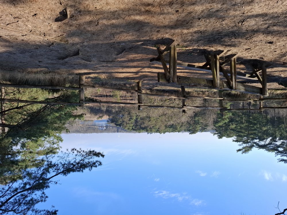
Top walk through the woods of Bolderberg.
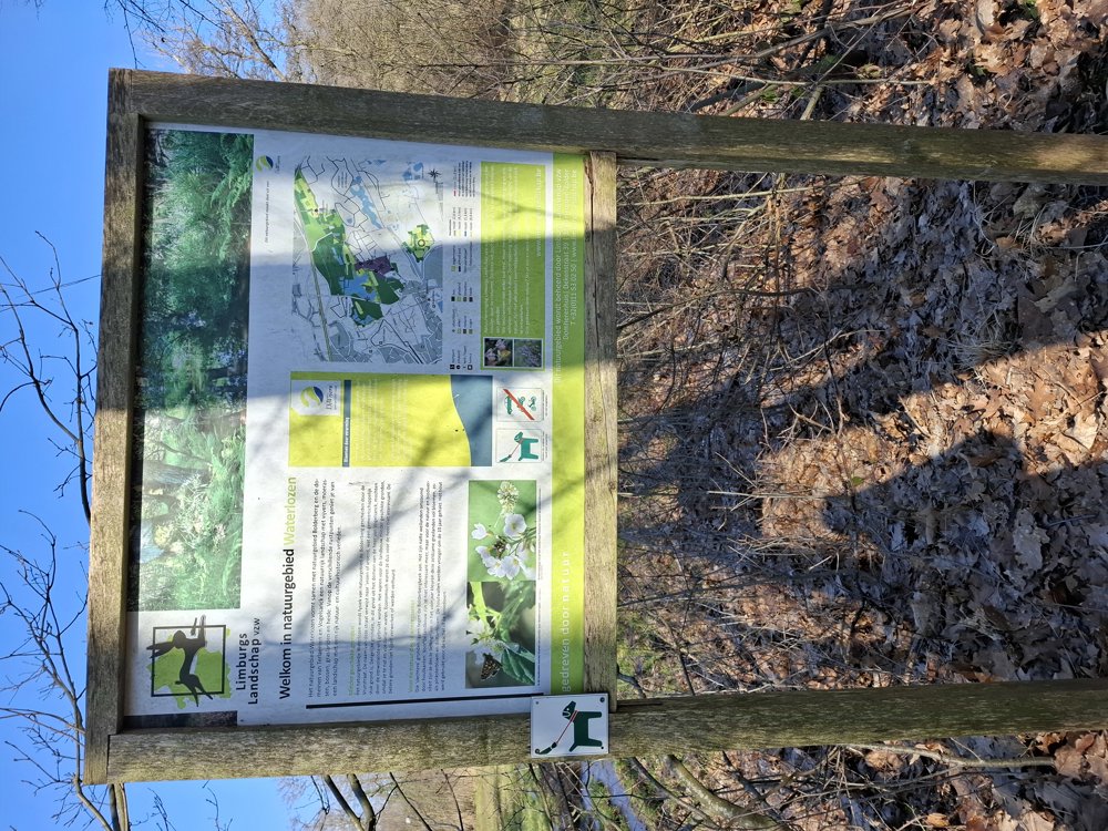
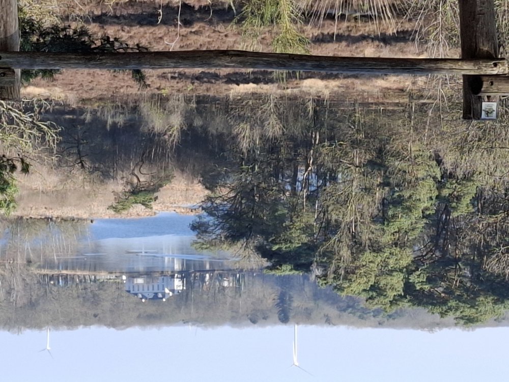
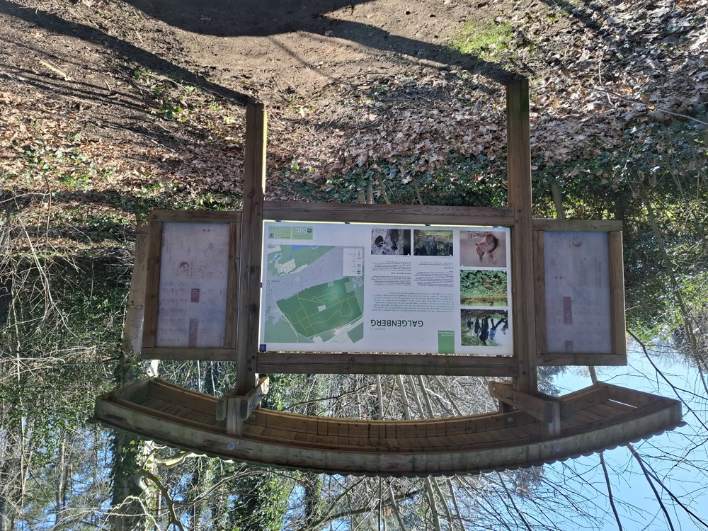
From km 1.8, you begin the most beautiful part of the walk. From here, it mainly goes over forest paths. First, you go through the "Waterlozen" nature reserve and walk further to the Kluis of Bolderberg. Further on, you have a beautiful view of the pond of Terlamen and the castle. After crossing the N729, you head towards the Zolder race circuit and the brand-new cycling track. Then climb a little to the Galgenberg and back to Bovy.
Rest benches: among others at 3.2/4.5/5.5 km.
Sightseeing: Velodrome
Catering: among others Domain Bovy / Velodrome (6.4 km)
automatic translation
 nodes to follow
0 km

0.1 km
0.4 km
0.7 km
0.7 km
0.8 km
1.8 km
2.3 km
3.3 km
3.8 km
4.4 km
4.8 km
5.2 km
5.8 km
6.2 km
6.6 km
7.9 km

8.3 km


 Upgrade to Premium Plus
