Loading...

Through the Linter Fields

automatic translation

11.4 km • Linter

5701 0 0/5

11.4 km 0.0 km 0.0 km

route offered by

Jan Theunis

Icon starting point Addresse starting point (approximate)

Grote Steenweg 64, 3350 Linter, BE

Icon type signage of route signage

The route is fully signposted with nodes.

5m 5m 5m 5m
© Jan Theunis

Icon description route Description

Parking: Grote Steenweg Neerlinter.

Signage: Junction points.

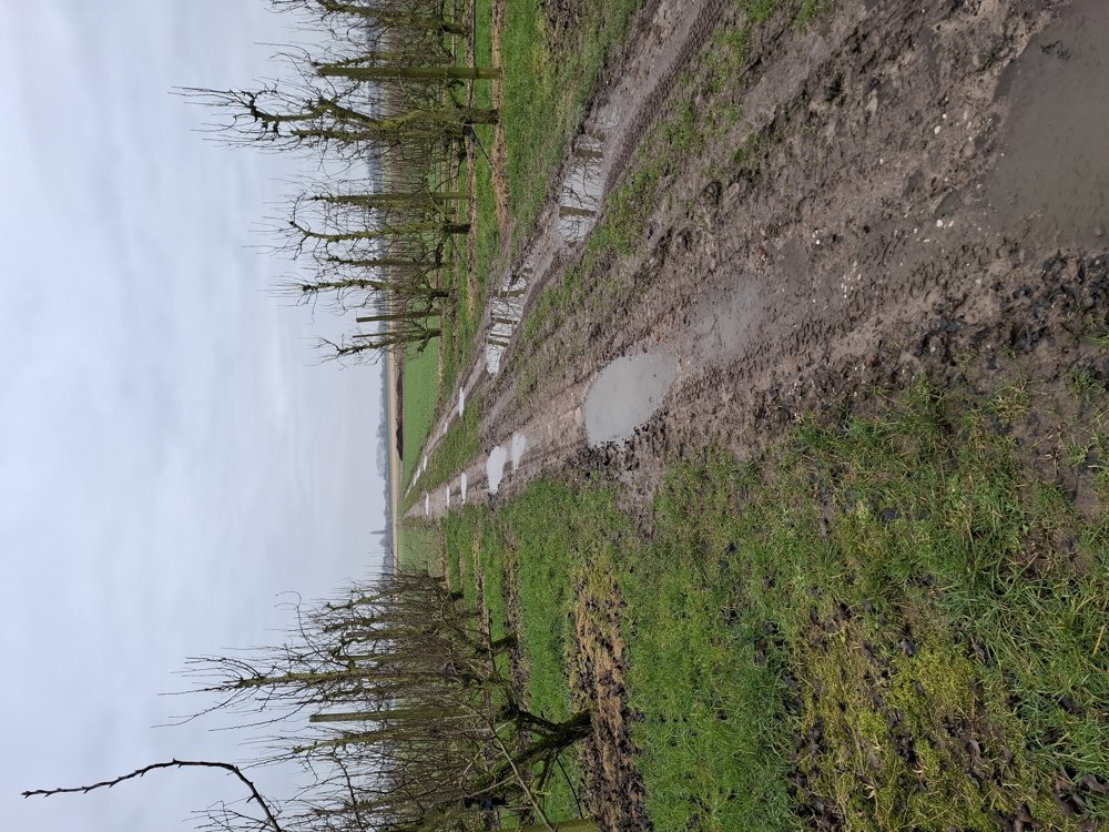
This peaceful walk goes through the fields and orchards of Neerlinter, Stok and Heide. One third is unpaved but easily passable.

Resting benches: among others, after 1.3 km and 7.8 km.

automatic translation

Icon nodes to follow nodes to follow

Icon start route
0 km
Icon deviation route
0.1 km
Image node 145
0.3 km
Image node 104
0.8 km
Image node 146
1.5 km
Image node 106
2.8 km
Image node 107
3.2 km
Image node 204
4.2 km
Image node 216
6.7 km
Image node 108
8.3 km
Image node 144
8.7 km
Image node 143
9.5 km
Image node 109
10.3 km
Image node 105
11.3 km
Icon stop route
11.4 km
This route does not have any reviews yet. Be the first!
Rate route!

Which POI do you want to show on the map?

Experimental hiking network
Unsigned icon

The route you have chosen runs (partly) along an experimental virtual hiking node network (the blue-coloured nodes and sections on the map).

You must be logged in to plan routes here.

Experimental hiking network
Unsigned icon

The route you have chosen runs (partly) along an experimental virtual hiking node network (the blue-coloured nodes and sections on the map).

These routes are not controlled in the field. Before you start hiking here, take a minute to read what an experimental hiking node network is and what rules you should follow when hiking here.