 Hiking
 Login
Login
 More
More
 EN
EN
 Premium
Nature walk in Diest
automatic translation
7.8 km • Diest
1.5213 0 0/5
7.8 km
0.0 km
0.0 km

 Addresse starting point (approximate)
Turnhoutsebaan 119, 3294 Diest, BE
 signage
The route is fully signposted with nodes.
© Jan Theunis
 Description
Parking: Turnhoutsebaan Diest, Berkenhof Sports Complex.
Signage: Junction nodes / Hiking app or GPS.
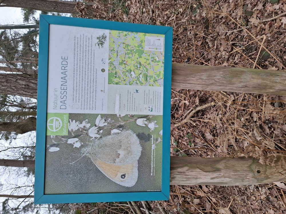
Beautiful walk through the Dassenaarde nature reserve and along the Schaffen airfield. All paths were easily passable and there is a varied landscape. It is not a flat walk, it continuously goes up and down (102.6 elevation meters).
Start at the junction node and follow the Hongarij footpath to the end of the football field and then turn left to junction node 63.
Benches: among others after 1.1/1.5 and 3.8 km.
automatic translation
 nodes to follow
0 km

0.3 km
0.7 km
1 km
1.3 km
2.2 km
2.7 km
3.8 km
4.3 km
5.3 km
6.4 km
7.4 km

7.8 km


 Upgrade to Premium Plus
