 Hiking
 Login
Login
 More
More
 EN
EN
 Premium
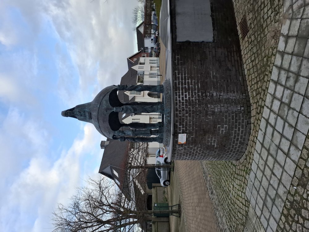
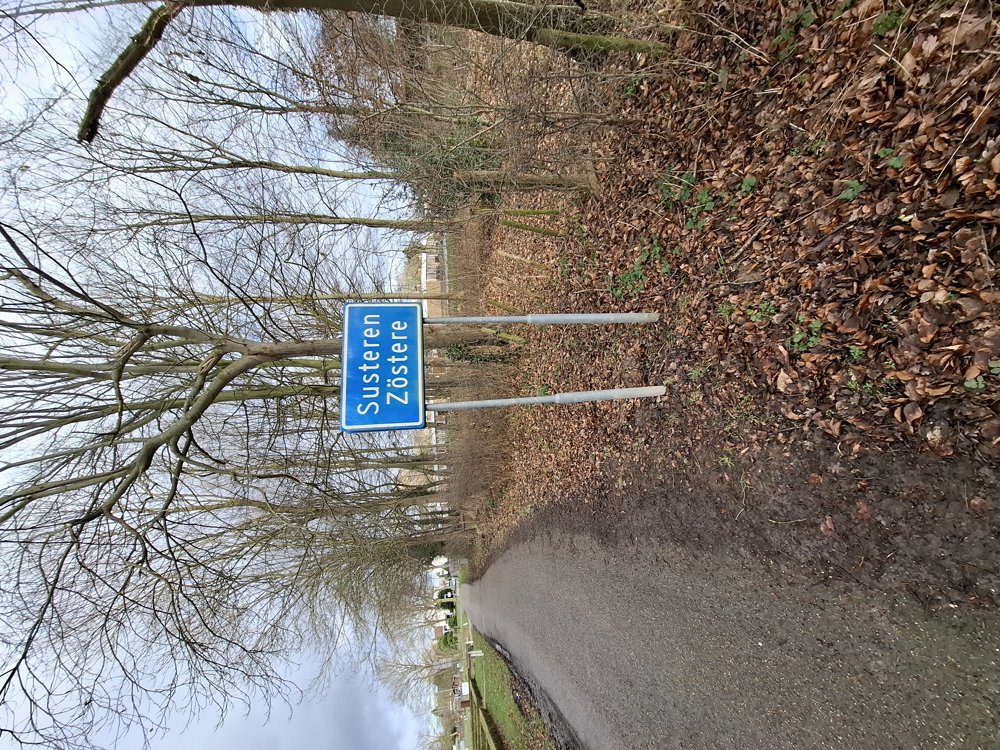
The narrowest part of the Netherlands
automatic translation
11.2 km • Echt-Susteren
1.4462 0 0/5

 Addresse starting point (approximate)
Salvatorstraat 40, 6114 HJ Echt-Susteren, NL
 signage
The route is fully signposted with nodes.

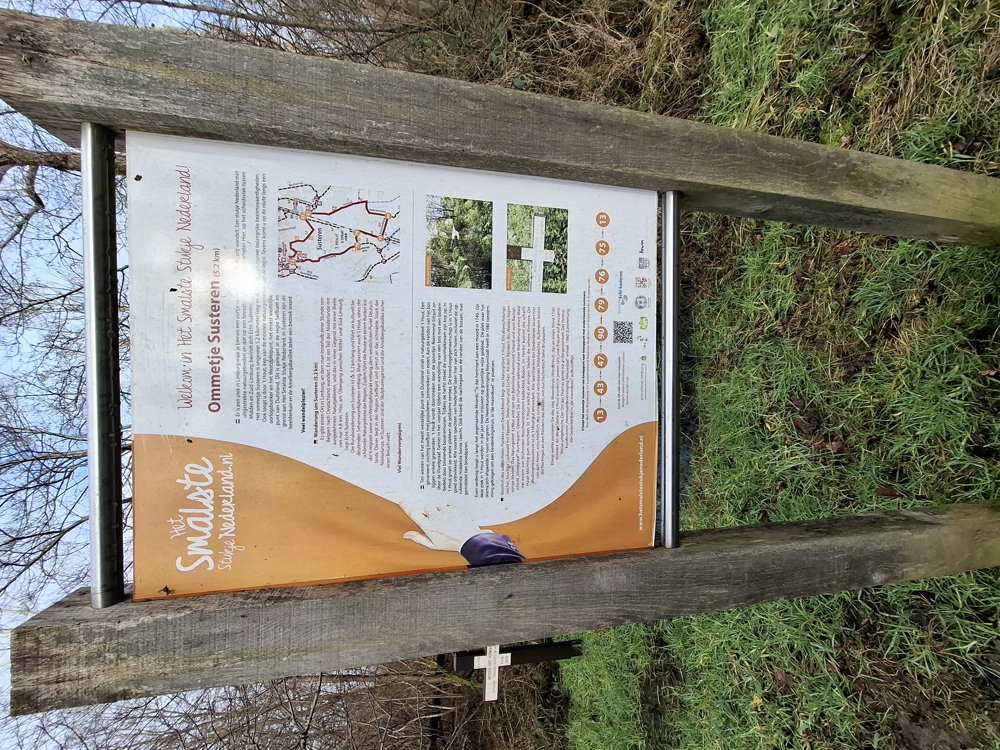
 Description
Parking: Salvatorplein Susteren (NL).
Signage: Walking app or GPS.
First 3.5 km through Susteren, then over mostly quiet roads and paths. You also walk through the wet nature reserve 'IJzerenbosch' via a paved path (bike path).
This region is also called 'the narrowest part of the Netherlands'. The borders here are less than 5 km apart. You could do this walk solely based on the junction points (jp), but we have noticed that the jp are sometimes poorly or not indicated. Therefore, use a walking app or GPS.
Rest bench(es): among others after 3.5 / 5.4 / 6.4 / 7.8 / 9.8 and 10.8 km. Catering: at jp 44, 'coffee house Het IJzerenbos'.
automatic translation
 nodes to follow
0 km
0.2 km
0.6 km
0.8 km
1 km
1.3 km

1.5 km
1.6 km
1.7 km
1.7 km
1.8 km
1.8 km
2.1 km
2.7 km
3.4 km
4 km
4.4 km
5.3 km
6.3 km
6.8 km
8.4 km
8.5 km
8.7 km
8.7 km
8.8 km
8.8 km
9.7 km
10 km
11.2 km


 Upgrade to Premium Plus
