 Hiking
 Login
Login
 More
More
 EN
EN
 Premium
From Stokrooie to the Abbey of Herkenrode
automatic translation
8.1 km • Hasselt
1.6856 3 5/5

 Addresse starting point (approximate)
Sint-Amandusstraat 11, 3511 Hasselt, BE
 signage
The route is fully signposted with nodes.
 Description
Parking: Stokrooie near the church.
Signage: Nodes.
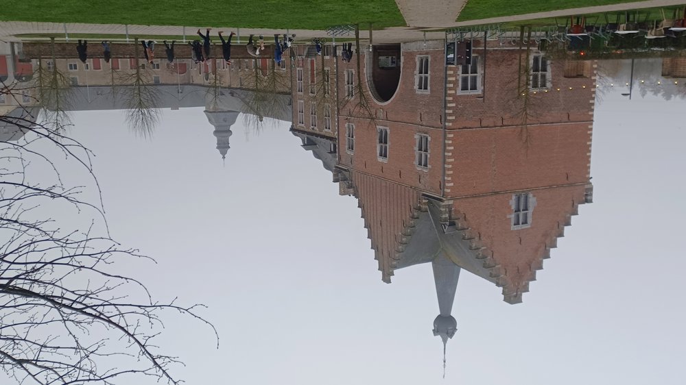
Walk in the new nodes network "De Wijers". Alternating over paved roads, field and forest paths. From Stokrooie, you walk to the beautiful Herkenrode site and further to the Albert Canal. Then along the canal and the Demer back towards the starting point.
Normally, we would have walked through the monastery park, but it is temporarily closed due to heavy rainfall.
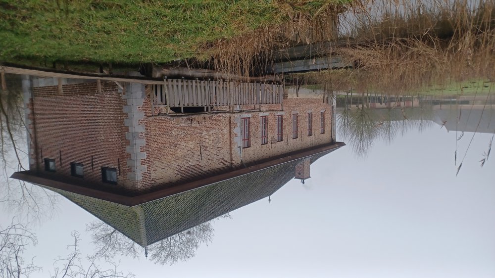
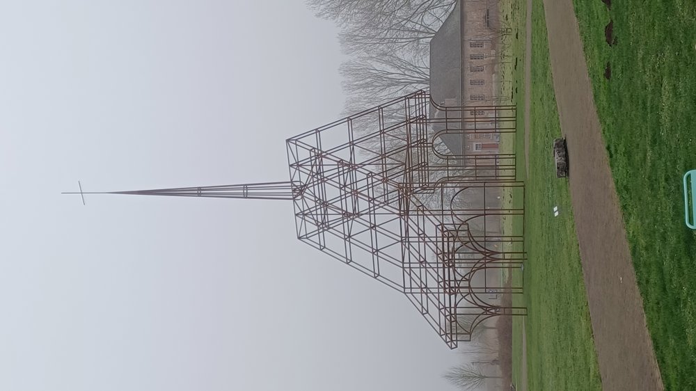
Bench(es): among others at 0.7/1.2/2.2/3.3/4.8 and 7.8 km. Sights: Abbey mill, see-through church, and the Abbey of Herkenrode. Hospitality: Stokrooie ‘Café De Jail’ and on the Abbey site.
automatic translation
 nodes to follow
0 km
0.1 km
0.9 km
1.2 km
1.4 km

1.6 km
1.7 km
1.9 km
2.2 km
2.3 km
3.4 km
5 km
6.5 km
8 km
8.1 km
Friday, February 6, 2026 by Sonja DolThis walk has been modified again. You can no longer follow junction 121. It is best to follow 119 or the red triangle.
automatic translation
Thursday, May 29, 2025 by C.V.very nice, with the abbey there
automatic translation
Saturday, May 24, 2025 by Koen StevensJunction 119 has been shifted (on Schutterstraat) and now follows a different path toward Junction 118 (via Schutterstraat - Drieiekoppenstraat - Schabbestraat)
automatic translation


 Upgrade to Premium Plus
