Loading...

Eisden Garden District

automatic translation

5.8 km • Maasmechelen

720 0 0/5

5.8 km 0.0 km 0.0 km

route offered by

Jan Theunis

Icon starting point Addresse starting point (approximate)

Zetellaan 37, 3630 Maasmechelen, BE

Icon type signage of route signage

The route is fully signposted with thematic signs (no nodes).

5m 5m 5m 5m
Atmosphere image 1 of route Eisden Garden District Atmosphere image 2 of route Eisden Garden District Atmosphere image 3 of route Eisden Garden District
© Jan Theunis

Icon description route Description

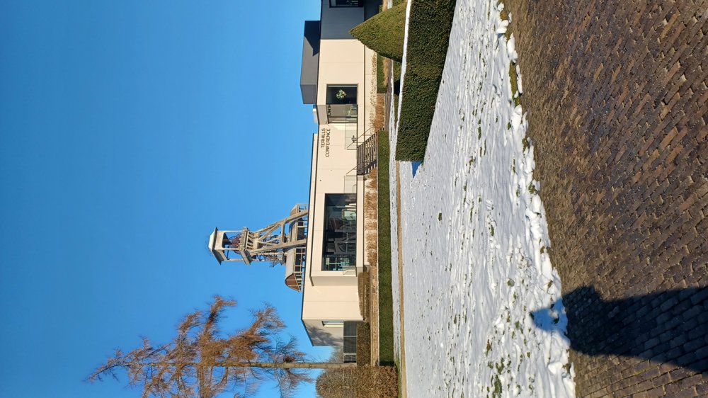
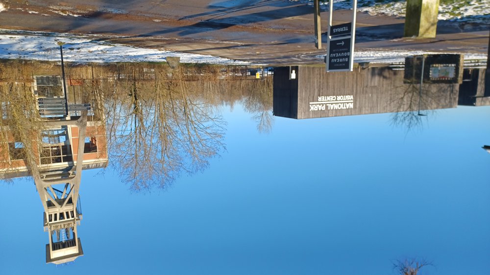
Parking: Maasmechelen Village, Zetellaan Maasmechelen.

Signage: signs with a (gray) hourglass. Go from the parking lot towards Hotel Terhills and then follow the signs with the hourglass.

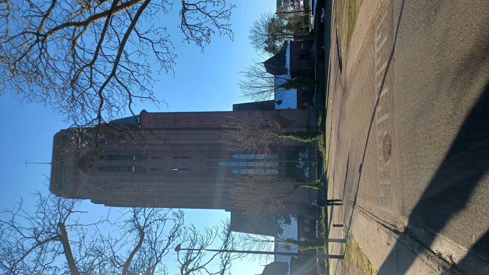
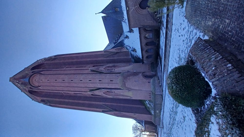
The walk goes through the miners' district "Eisden Tuinwijk" and follows paved roads. You pass the impressive St. Barbara Church. Suitable for wheelchair users (avoid the park, go straight on G. Lambertlaan to Koninginnenlaan and then left).

Rest bench(es): at 2.7 km, among others.

Sightseeing: St. Barbara Church.

Catering: Maasmechelen Center.

automatic translation

Icon nodes to follow nodes to follow

Icon start route
0 km
Icon deviation route
0.1 km
Icon deviation route
0.2 km
Icon deviation route
0.3 km
Icon deviation route
0.3 km
Icon deviation route
0.3 km
Icon deviation route
0.4 km
Icon deviation route
0.4 km
Icon deviation route
0.5 km
Icon deviation route
0.7 km
Icon deviation route
1 km
Icon deviation route
1.4 km
Icon deviation route
1.7 km
Icon deviation route
2.1 km
Icon deviation route
2.2 km
Icon deviation route
2.4 km
Icon deviation route
2.5 km
Icon deviation route
2.7 km
Icon deviation route
3 km
Icon deviation route
3.5 km
Image node TP
3.8 km
Image node TP
4.1 km
Image node TP
5.6 km
Icon deviation route
5.7 km
Icon stop route
5.8 km
This route does not have any reviews yet. Be the first!
Rate route!

Which POI do you want to show on the map?

Experimental hiking network
Unsigned icon

The route you have chosen runs (partly) along an experimental virtual hiking node network (the blue-coloured nodes and sections on the map).

You must be logged in to plan routes here.

Experimental hiking network
Unsigned icon

The route you have chosen runs (partly) along an experimental virtual hiking node network (the blue-coloured nodes and sections on the map).

These routes are not controlled in the field. Before you start hiking here, take a minute to read what an experimental hiking node network is and what rules you should follow when hiking here.