 Hiking
 Login
Login
 More
More
 EN
EN
 Premium
Tour through Tervant
automatic translation
7.3 km • Beringen
7652 0 0/5
7.3 km
0.0 km
0.0 km

 Addresse starting point (approximate)
Tervantstraat 278, 3583 Beringen, BE
 signage
The route is not signposted. Use a GPS device or our app to follow the route.
© Jan Theunis
 Description
Parking: Pastoor Grauwstraat Tervant (Paal-Beringen) at the church.
Signage: NodeMapp app/GPS.
Walk along quiet paths and roads in the hamlet of Tervant. Mostly on paved roads and occasionally through the fields.
Benches: after 100 m and then nothing more.
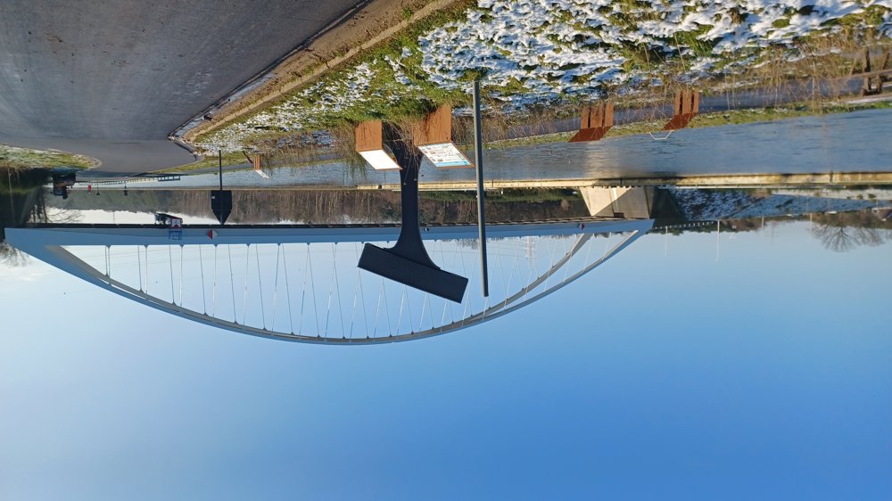
Attractions: A part of the old bridge at the Albert Canal.
Catering: Grauscafé (at the starting point).
automatic translation


 Upgrade to Premium Plus
