 Hiking
 Login
Login More
More EN
EN Premium
Slow road walk
automatic translation
8.5 km • Vilvoorde
 official route
1.1472 5 4/5
route offered by
 Addresse starting point (approximate)
Sint-Antoniuskerk, Karel Trekelstraat 46, 1800 Houtem (Vilvoorde)
 signage
The route is not signposted. Use a GPS device or our app to follow the route through the virtual nodes.
 Description
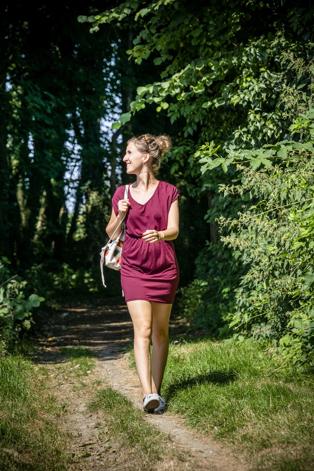
In the village of Houtem you'll be following car-free footpaths, field paths and church paths. They'll take you past some beautiful spots and centuries-old buildings, such as the Monnikshof and the Steenblockhoeve, which dates all the way back to 1550. The wooded forest forms a green buffer between the village and the E19 freeway. Finish at the nine craters of the De Bomputten nature reserve, all beautiful pools.
NOTE: This is a hike on a virtual hiking network. The nodes are not signposted on the property. Follow the 6-sided red and white signs with the name of the hike.
This hike is offered by Tourism Flemish Brabant.
automatic translation
 nodes to follow
0 km
0.2 km
1.3 km
3.5 km
4.4 km
5.7 km
6.5 km
7.6 km
8.4 km
Monday, April 18, 2022 by Yasmin VdCVery pleasant hike! Very quiet along the way. Signage well marked. Through the woods some mild mud in wet weather but well passable. Also very pleasant to walk with dogs, few disturbing elements along the way. Highly recommended!
automatic translation
Wednesday, October 20, 2021 by M.M.The site lists the numbers to follow but there is no sign on the trail. Fortunately you can follow the signs "slow road walk" but only in clockwise direction, not the other way around.
automatic translation
Monday, September 13, 2021 by Walter MombaertsQuiet and mostly green hike. Few people encountered. Best to wear waterproof footwear in wet weather.
automatic translation
Friday, February 5, 2021 by Benjamin KeppensSigns with junctions we did not see, maybe they still place them so we followed the "slow roads walk. It turned out to be a beautiful route among many twigs. One thing is unfortunate: the noise pollution, because even on a windless day there is background noise practically the whole way. Outside Corona there are also the noises from planes ...
automatic translation
Saturday, March 14, 2020 by H.D.Beautiful hiking trail, mostly along field and forest roads.
Very quiet, few other hikers.
Solid footwear is essential in wet weather.
Lovely to do with dogs.
Definitely recommended.
automatic translation


 Upgrade to Premium Plus
