 Hiking
 Login
Login
 More
More
 EN
EN
 Premium
Vechmaal: Orange sphere + loop to tumulus
automatic translation
8 km • Heers
9562 1 4.5/5

 Addresse starting point (approximate)
O.L.Vrouwstraat 22, 3870 Heers, BE
 signage
The route is signposted with thematic signs (no nodes). You can use a GPS device or our app to follow the route through the virtual nodes.
 Description
Parking: Brugstraat in Vechmaal (at the football field)
Signposting: Orange dot or Virtual Nodes, so GPS or NodeMapp app.
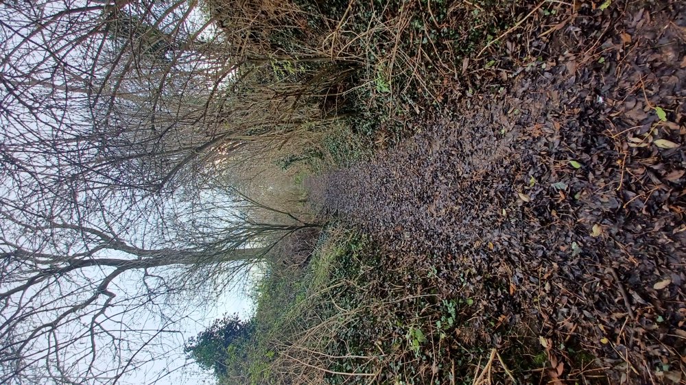
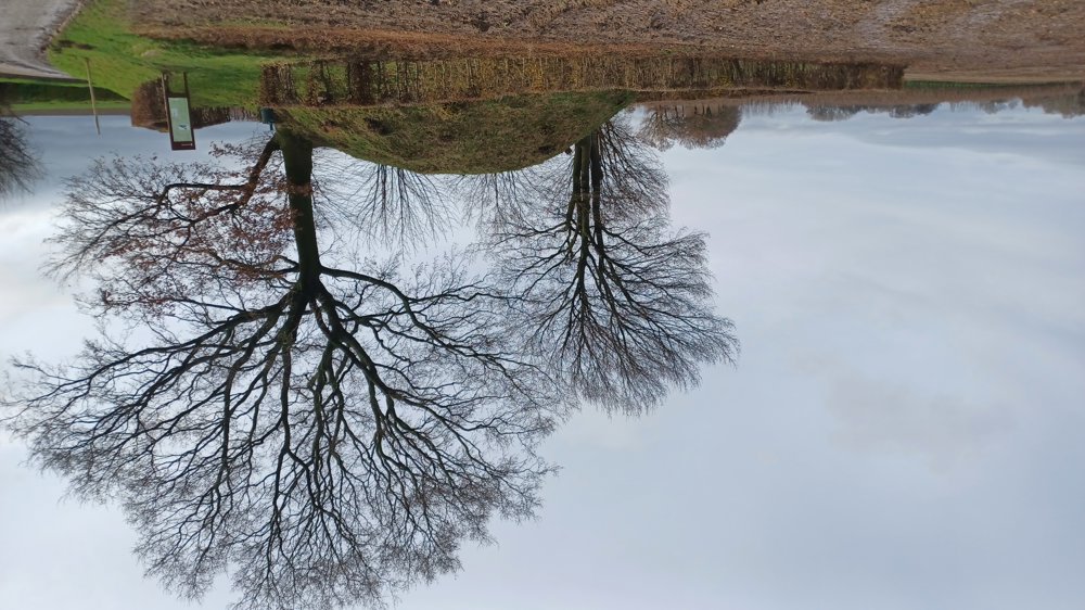
The walk is the orange dot + a loop to the Tumulus of Vechmaal. If you only do the orange loop, you'll walk 5.9 km; with the loop, it's 7.9 km. 1.4 km is unpaved but quite passable and goes mostly through sunken paths and some field paths. With the loop, you'll come across a tumulus from the Gallo-Roman era. Nice walk to do in spring and autumn, in summer it might be sweltering, I think.
Resting benches: at about 0.9 / 1.7 / 2.9 / 3.4 / 7 and 7.6 km.
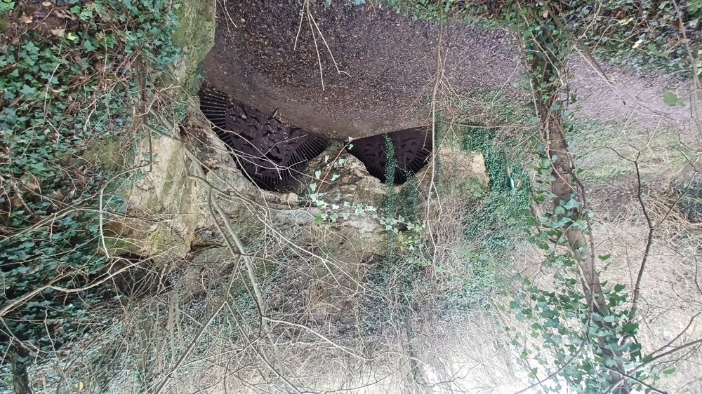
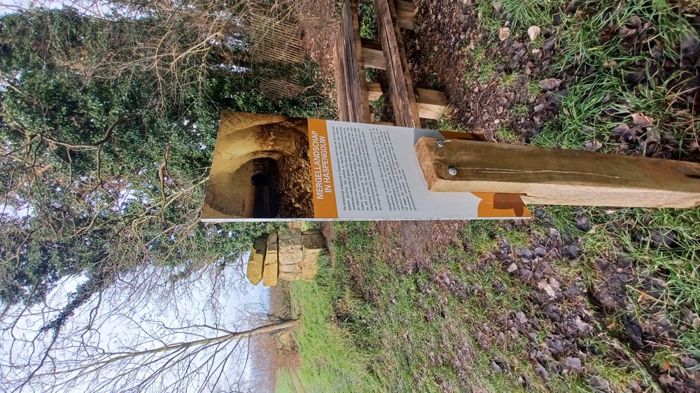
Points of interest: Waterkuil marl cave (bat sanctuary) and the Tumulus
Catering: Inn De Horne
automatic translation
 nodes to follow
0 km

0.1 km
0.3 km
1.3 km
2.1 km
4.1 km
5 km
5.7 km
6 km
6.7 km
7 km
7.4 km
7.6 km

7.9 km
Sunday, April 5, 2026 by S.B.A very nice walk. A peaceful route with stunning views. The landscape is rolling, but the walk is still accessible to a wide range of people, in any season. The signs with orange dots are easy to follow, but be sure not to miss the loop at junction 7. Otherwise, the walk will be only 6 km instead of 8 km. Parking is easy, as indicated.
automatic translation


 Upgrade to Premium Plus
