 Hiking
 Login
Login
 More
More
 EN
EN
 Premium
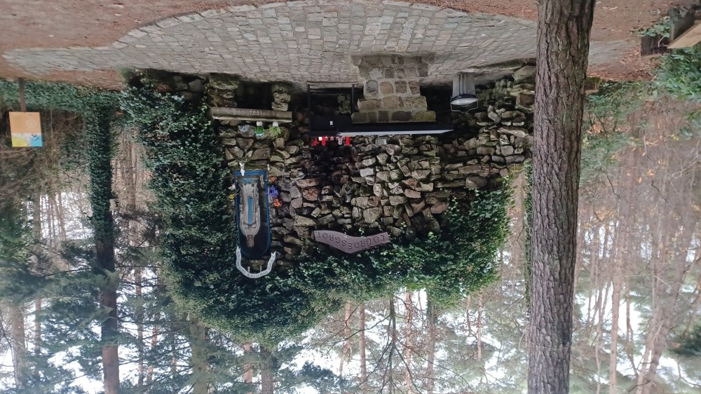
Lourdes Grotto Oostham
automatic translation
7.8 km • Ham
9321 1 3/5

 Addresse starting point (approximate)
De Warande 56, 3945 Ham, BE
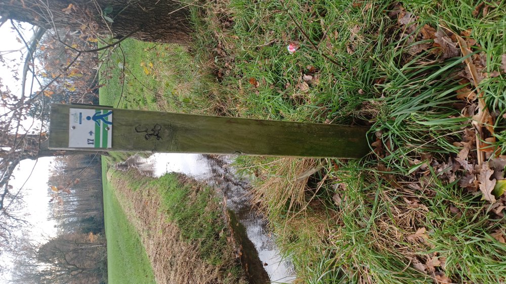
 signage
The route is fully signposted with nodes.
 Description
Parking: De Warande, Ham
Signage: junction points.
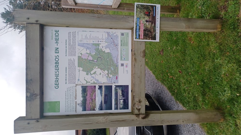
Alternating through forests and open areas in rural Oostham.
Some sections are very muddy.
Ham has its own junction point signs. The system is the same as the others, but bring your binoculars to see the arrows.
Rest benches: including at 6.7 and 7.4 km.
Attractions: Lourdes grotto.
automatic translation
 nodes to follow
0 km
0.8 km
1 km
1.5 km
2.8 km
2.8 km
3.8 km
4.6 km
5.5 km
6.3 km
6.3 km
6.7 km
6.7 km
7.2 km

7.5 km
7.6 km
7.8 km
Sunday, January 18, 2026 by A.V.Nice, peaceful walk.
There are far too few signs indicating the direction. The colors used and the arrows are very difficult to see.
automatic translation
Tuesday, February 17, 2026 by Jan TheunisAs I said, bring your binoculars.
automatic translation


 Upgrade to Premium Plus
