 Hiking
 Login
Login
 More
More
 EN
EN
 Premium
Pauwelwandeling
8.9 km • Pajottegem
 official route
5.33311 4 4/5
route offered by
 Addresse starting point (approximate)
Camping Raspaljebos, Heirbaan 131, 1570 Pajottegem
 signage
The route is fully signposted with nodes.
 Description
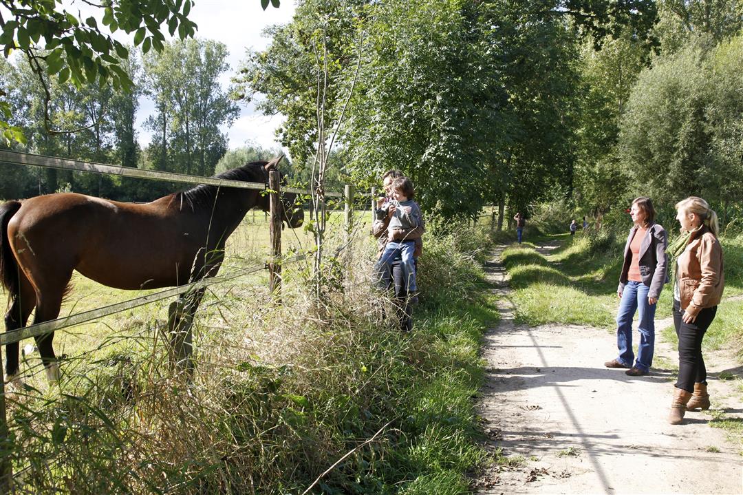
Enjoy the view of the Mark Valley and the Dender Valley during this hike along the slopes of the Bosberg, a foothill of the Flemish Ardennes and a well-known climb featured in many spring classics. At 107 meters high, this hill is one of the highest points in the Pajottenland. You’ll walk past the De Helix nature education center in Geraardsbergen and St. Paul’s Chapel in Pajottegem. The Kluysbos may not be large, but it’s one of the most beautiful spring forests in the region.
automatic translation
 nodes to follow
0 km
0.2 km
1.6 km
2.1 km
2.5 km
3.2 km
4 km
5.3 km
5.6 km
6.6 km
7.3 km
8.5 km
8.9 km
Friday, December 26, 2025 by Johan De PauwBeautiful hiking trail, lots of variety and nice views. Due to frost the past 2 days no mud. I will hike this one again in spring when there are flowers in the woods.
automatic translation
Sunday, April 3, 2022 by A.T.Very nice hike on "the roof of the Pajottenland". Enjoyed the wide views, green landscapes and floral splendor in the Kluysbos. Between KNP 33 and 32 it is currently locally very muddy. Personally, I found the stretch from KNP 69 to the Saint Paul Chapel the least. Recommended on a sunny spring day !
automatic translation
Friday, January 29, 2021 by Peter Van der HaegenNice hike we started at the Bosberg. From the beginning a serious mud descent and at the end of the hike a mud climb. The panoramas are really beautiful.
automatic translation
Monday, December 30, 2019 by D.D.Hiked on Dec. 30. Nice route, mostly on slow roads, often unpaved. Limited between buildings. Especially the first part between 618 /30 and 29 was very muddy, even though several days had been dry. Hiking trail broken and turned into mud puddles by mountain bikes. In the southernmost section I recommend walking from 69 to 67 along Paulus Street and then to 68, then you walk past the beautiful Paulus Chapel. Well only at the start something to drink, and in ong case, closed.
automatic translation


 Upgrade to Premium Plus
