 Hiking
 Login
Login
 More
More
 EN
EN
 Premium
Hengelhoef Nature Reserve
automatic translation
7.4 km • Houthalen-Helchteren
9761 1 4/5

 Addresse starting point (approximate)
Hengelhoefdreef 4, 3530 Houthalen-Helchteren, BE
 signage
The route is partially signposted with nodes. Use a GPS device or our app to follow the route.
 Description
Parking: Hengelhoefdreef, Houthalen (opposite castle Engelhof)
Signage: Junction points/GPS
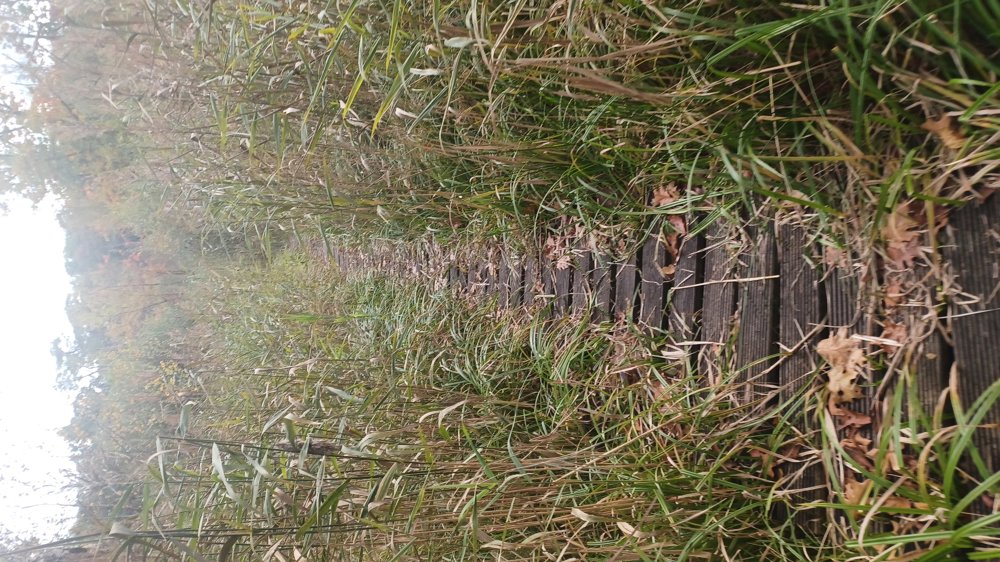
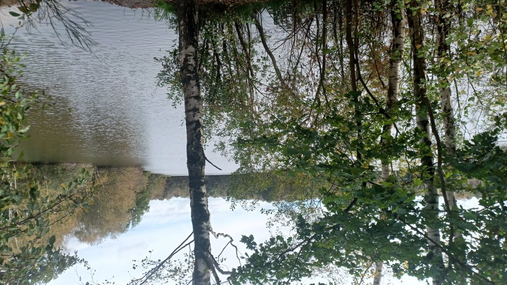
You walk through the forests in the Hengelhoef nature area. I found the section along and between the ponds the most beautiful. Nice and mostly quiet walk on well passable paths and a section of boardwalk that needs some maintenance.
This area will become part of the walking junction network but is not yet in the app. (October 2024)
Through this walk you can already make a nice loop.
Rest benches: among others, after 1.8/4.1 (forest chapel) /6 and 7.1 km
automatic translation
Saturday, May 2, 2026 by Koen StevensA section of this route is no longer accessible because the log path—which was in poor condition—has been cleared (along the route from km 1.0 to km 1.4). An alternative for those first 1.4 km is the first 400 meters of the 103-105 section. The junction numbers to follow are therefore: 103-105-107-109-111-110-102-103 (only 6.4 km instead of 7.4 km)
automatic translation


 Upgrade to Premium Plus
