 Hiking
 Login
Login
 More
More
 EN
EN
 Premium
From Domaine Bovy to "the hideout"
automatic translation
8.2 km • Heusden-Zolder
2.0457 1 2.5/5

 Addresse starting point (approximate)
Roerdompenlaan 4, 3550 Heusden-Zolder, BE
 signage
The route is partially signposted with nodes. Use a GPS device or our app to follow the route.
 Description
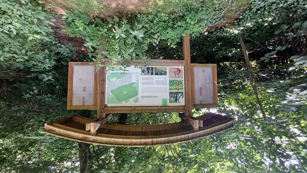
Parking: Heusden-Zolder; Domain Bovy, Galgeneinde 22
Signage: mostly via junctions.
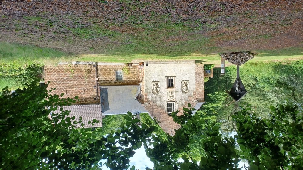
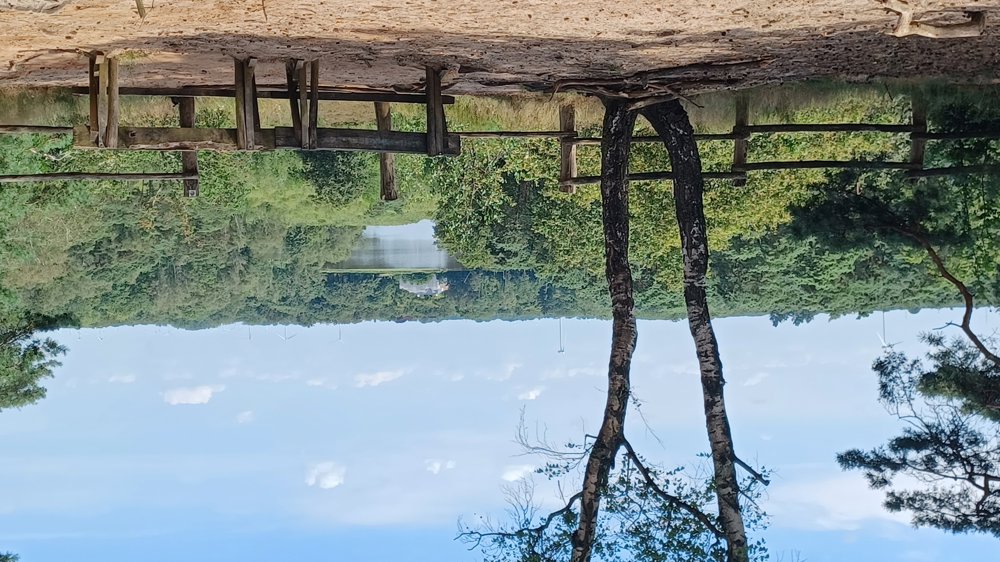
Into the forest towards the Circuit of Terlamen and the brand-new cycling track. Further along the forest paths to the "Kluis van Bolderberg" and the beautiful view of Terlamen Castle (currently under scaffolding).
Highlight: Circuit of Terlamen, BLOSO cycling track, Kluis van Bolderberg, panoramic view just past the kluis.
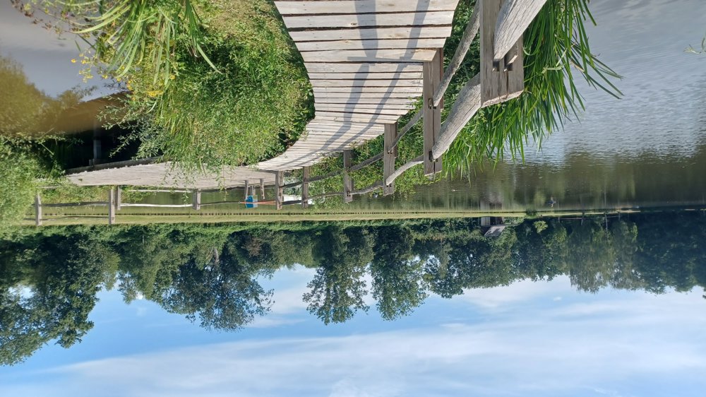
Rest benches: among others after 1.8 km at the cycling track / 2.9 / 3.8 / 4.8 / 6.6 / 7.2 km / on Domain Bovy there are catering facilities.
automatic translation
 nodes to follow
0 km
0.4 km
1.7 km
2.1 km
2.4 km
3.1 km
3.7 km
4.1 km
4.7 km
5.1 km

5.2 km
5.3 km
5.9 km
6.1 km
6.4 km
6.5 km
6.5 km
7.1 km
7.8 km
7.9 km
8.1 km

8.2 km
Friday, November 15, 2024 by W.J.Nice already known hiking trail, but KP numbering as indicated below does not match present numbering.
automatic translation
Thursday, November 28, 2024 by Jan TheunisYou are right, they are making the virtual nodes visual and this is still in an experimental phase. I am 1 of the test runners and there are indeed quite a few numbers wrong on this route but in time this will certainly be corrected.
automatic translation


 Upgrade to Premium Plus
