
 Hiking
 Login
Login
 More
More
 EN
EN
 Premium
Willekensberg Nature Reserve
automatic translation
8.3 km • Lummen
1.5362 1 4/5

 Addresse starting point (approximate)
Krekelstraat 18, 3560 Lummen, BE
 signage
The route is not signposted. Use a GPS device or our app to follow the route.
 Description
Parking: Cemetery Lummen; Krekelstraat.
Signage: GPS/hiking app.
Mostly through the woods on the Willekesberg.
Sometimes the walk goes along the E314, which causes noise pollution, but don't let that deter you because it's a beautiful walk.
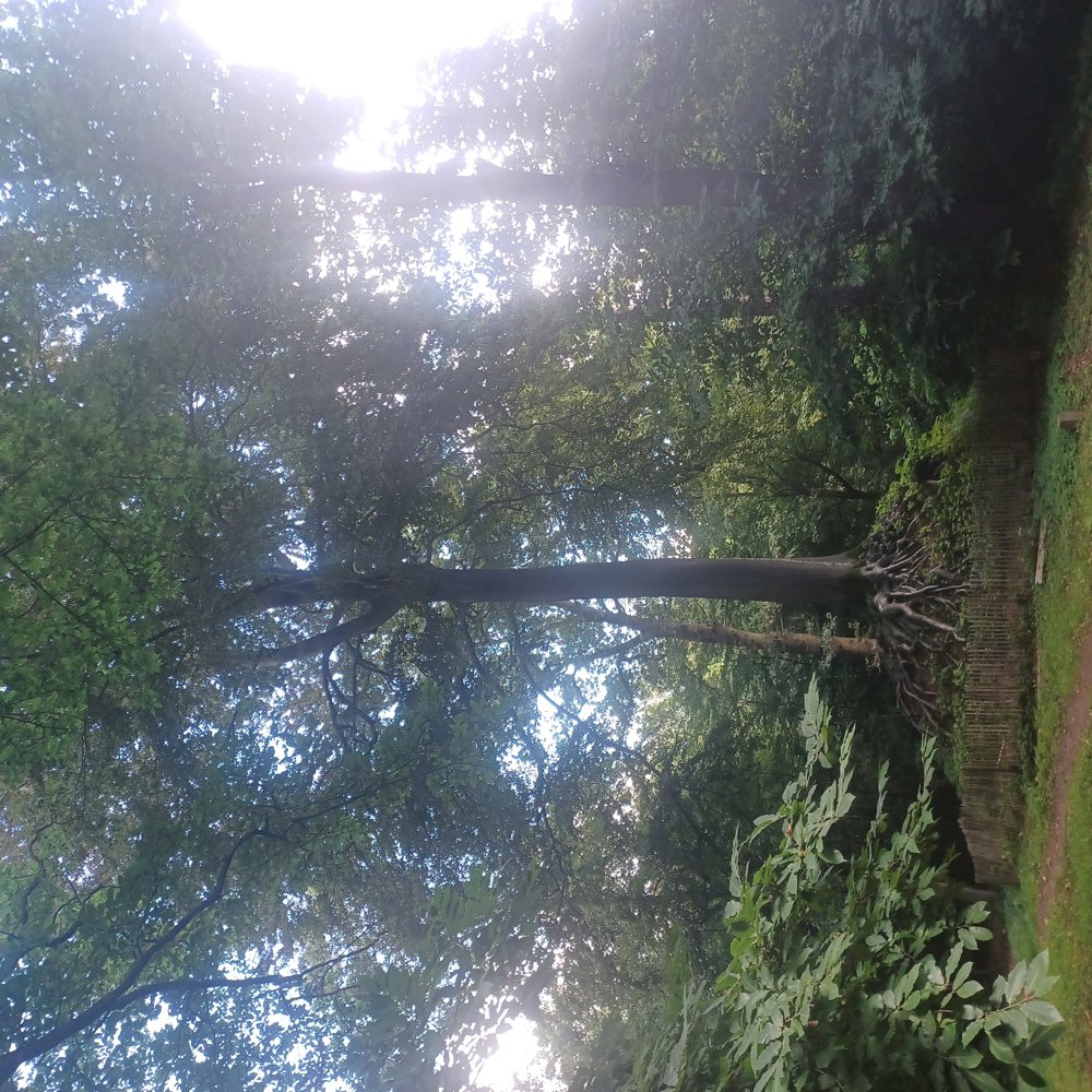
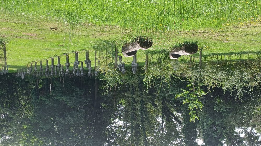
Highlight: Beech after 1.2 km / Cemetery of the Brothers of Saint Ferdinand.
automatic translation
 nodes to follow
0 km

0.2 km
0.4 km
1.1 km
2 km
2.7 km
2.8 km
3 km
3.3 km
3.7 km
4 km
4.2 km
4.3 km
4.4 km
4.5 km
4.6 km
4.7 km
4.9 km
5 km
5.2 km
5.5 km
6.7 km
7.9 km

8.3 km
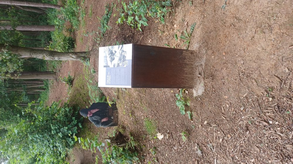
Sunday, October 26, 2025 by R.D.A brisk walk in the woods around and near the E314 highway. In nature reserve Willekensberg, we cross the Park Chapel of the Beech Tree. On the other side of the highway we pass the "trench route" which is enlivened by soldiers' figures. The cemetery of the Brothers of St. Ferdinand is also worth mentioning.
automatic translation



 Upgrade to Premium Plus


