 Hiking
 Login
Login
 More
More
 EN
EN
 Premium
Discover Zutendaal
automatic translation
11.5 km • Zutendaal
1.7871 2 4/5

 Addresse starting point (approximate)
Liseveldweg 1, 3690 Zutendaal, BE
 signage
The route is not signposted. Use a GPS device or our app to follow the route.
 Description
The Greenest Candy of Flanders. That is the slogan of my cozy village in Limburg.
Most of us have been here once 'on camp' with the youth movement. Don't know Zutendaal yet? Then it's high time.
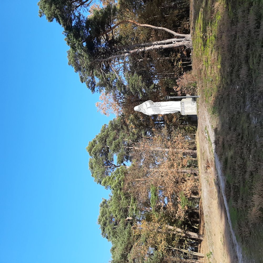
The starting point is the Lieteberg, known for its adventurous barefoot trail. We soon arrive in a forest scattered with large Maas boulders that are inscribed with sayings. On the Hesselsberg there is a huge statue of Mary.
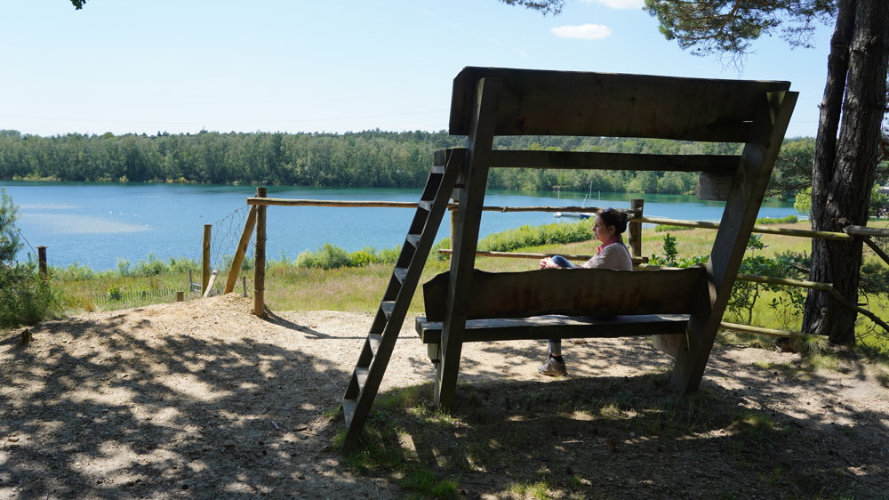
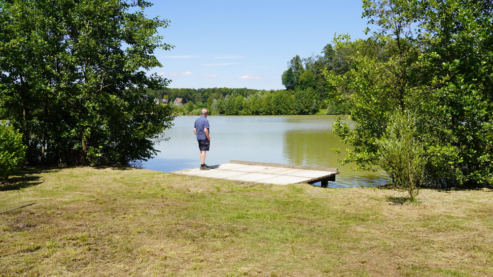
We continue our path along a beautiful holiday park in a wooded area. A little further we pass the toxic Sledderzee, a water pond tainted with fly ash. Then we arrive at the safe surfing pond, and a few more beautiful ponds.
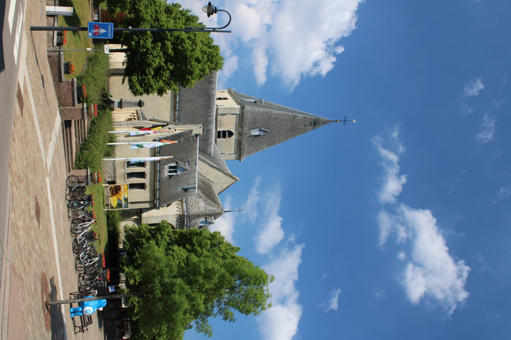
Gradually, we descend back to the cozy village. Through the old fort, we walk past the beautiful Witheren rectory, make a detour into the Mariapark and the marl church. After this pleasant walk, we enjoy the cozy eatery de Sjètterèi, which makes the trip complete.
automatic translation
 nodes to follow
0 km
0.2 km
0.3 km
0.9 km
1 km
1.5 km
1.6 km
2.1 km

2.3 km
2.4 km
2.4 km
2.5 km
2.8 km
3.7 km
4 km
4.1 km
4.8 km
5.6 km
6.1 km
6.5 km
7 km
7.4 km
7.7 km
7.8 km
8.1 km
8.8 km
9.4 km
9.9 km
10.2 km
10.3 km
10.4 km
10.6 km
10.8 km
10.9 km
11.1 km
11.2 km

11.5 km
Sunday, November 23, 2025 by Peter D'hontThe ponds are enclosed and can only be walked in the summer months
automatic translation
Tuesday, December 2, 2025 by Peter WilsHello. In my opinion, this is not correct. Did you determine this yourself or what are you basing this post on please?
automatic translation
Friday, June 28, 2024 by loe daineffetoo old and lame to do the whole route, but the stretch from Europarcs and around the various ponds and back via Molenlookstraat (thick 5.5km) was absolute TOP. Thanks for sharing this.
automatic translation


 Upgrade to Premium Plus
