 Hiking
 Login
Login
 More
More
 EN
EN
 Premium
Harchies Path
automatic translation
6.1 km • Bernissart
1.0562 0 0/5
6.1 km
0.0 km
0.0 km
route offered by
 Addresse starting point (approximate)
Rue des Préaux 10, 7321 Bernissart, België
 signage
The route is not signposted. Use a GPS device or our app to follow the route through the virtual nodes.
© The goldfinch
 Description
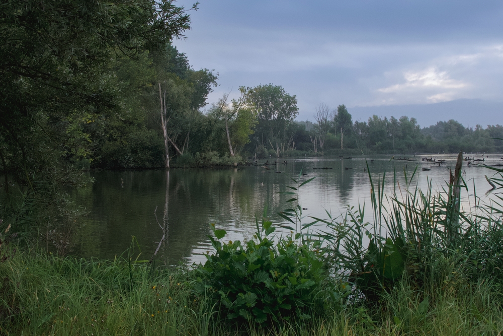
Discover the Harchies Marshes, a landscape filled with vast natural elements: four large water pools, marshes, 24 hectares of reed beds, and meadows adorned with pollard willows. The marshes formed in areas that had subsided due to mining activities since the 1920s and filled with water.
automatic translation
 nodes to follow
0 km
0.9 km

2 km
2.7 km
2.7 km
6.1 km


 Upgrade to Premium Plus
