 Hiking
 Login
Login More
More EN
EN Premium
Woodland Walk
automatic translation
5.8 km • Tervuren
 official route
6081 2 4/5
 Addresse starting point (approximate)
Markt 7, 3080 Tervuren
 signage
The route is fully signposted with nodes.
 Description
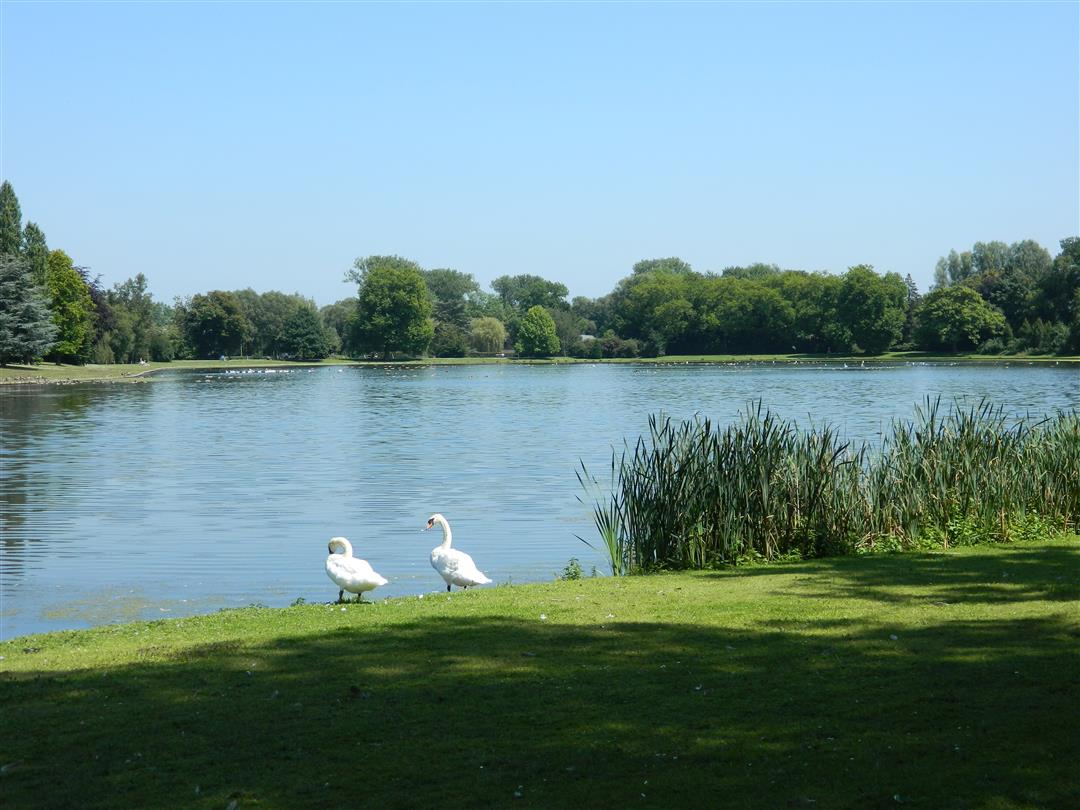
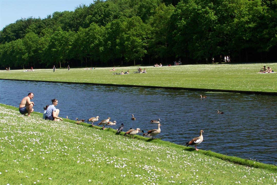
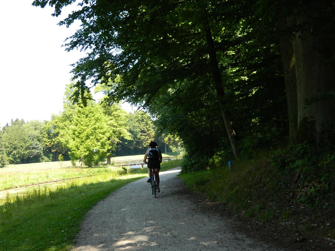
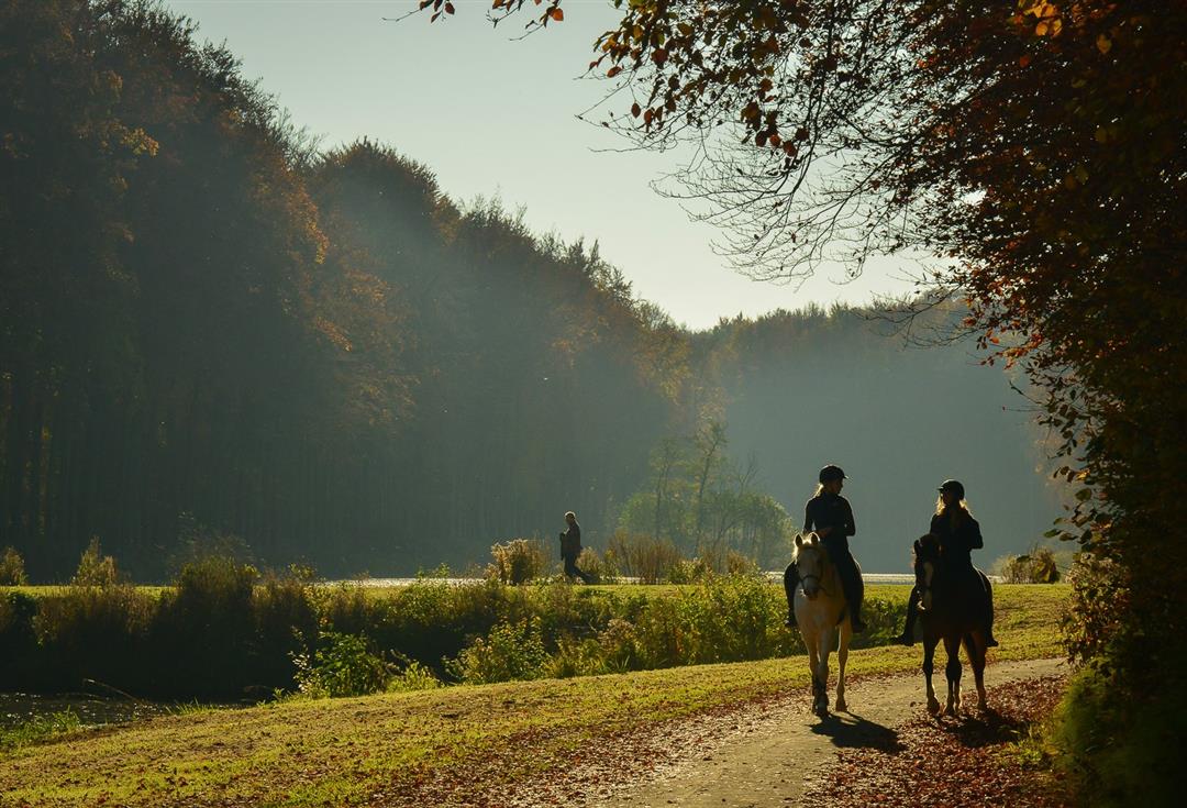
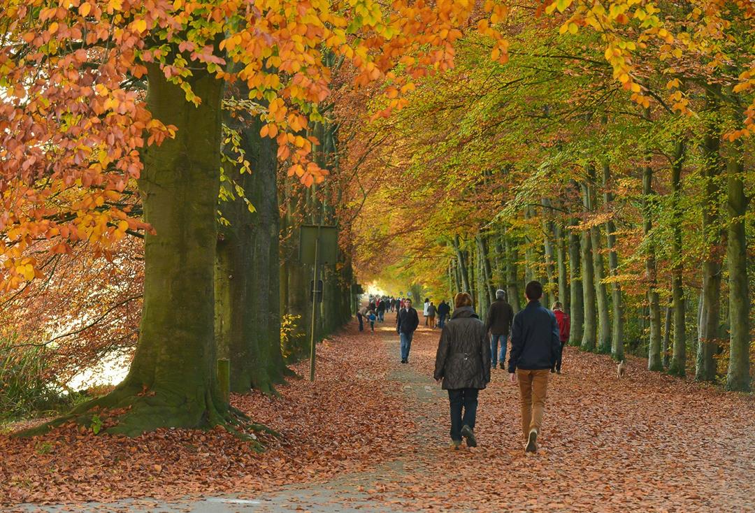
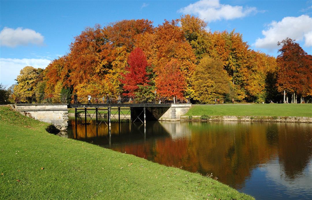
This walk through Tervuren Park introduces you to beautiful nature as well as a chunk of history. This used to be the hunting grounds of the nobility; today it is a walking and cycling paradise.
The route can be downloaded at www.visittervuren.be and is also described in a walking brochure available at the visitor center, Markt 7B in Tervuren.A free map with all places of interest is also available.
automatic translation
 nodes to follow
0 km
0 km
1.6 km
2.2 km
2.6 km
3.3 km
4.9 km
5.8 km
Monday, January 18, 2021 by H.V.Shorter walk that I've done about five times. You can easily extend them, as there are plenty of forest roads around there. Particularly nice walk along the beautiful ponds, and the stately castle of the Africa Museum. Maybe avoid on weekends, as many Brussels people come to walk there (direct streetcar from Brussels has terminus there).
automatic translation
Wednesday, December 4, 2019 by sonja Vanderstappenmajestic forest avenues, stately ponds, beautiful trees. nice walk but a little too short for a regular hiker. much too crowded during weekend. lots of picnic areas, family walk
automatic translation


 Upgrade to Premium Plus
