 Hiking
 Login
Login
 More
More
 EN
EN
 Premium
Harvest Walk
automatic translation
7.8 km • Tervuren
2.0395 3 3.2/5
route offered by
Visit Tervuren
 Addresse starting point (approximate)
Kerkplaats, 3080 Duisburg
 signage
The route is fully signposted with nodes.
 Description
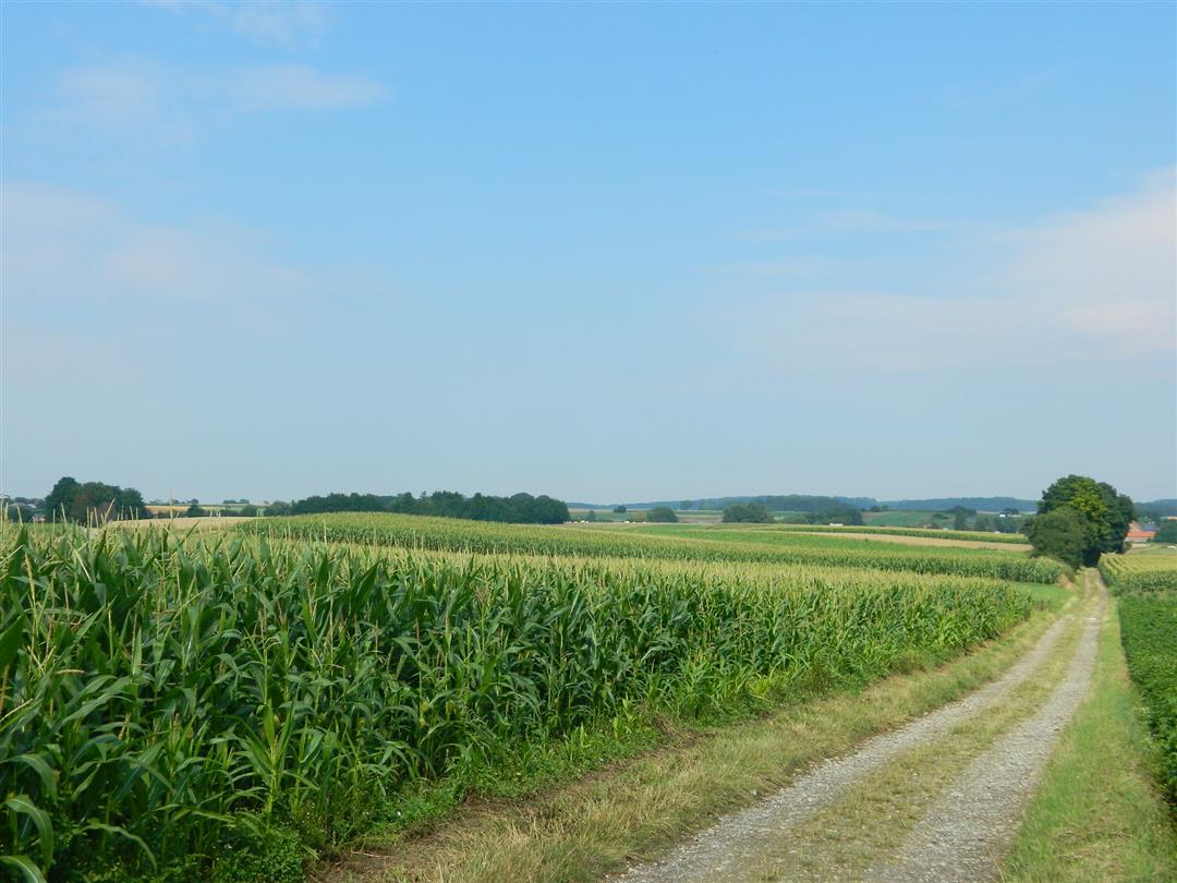
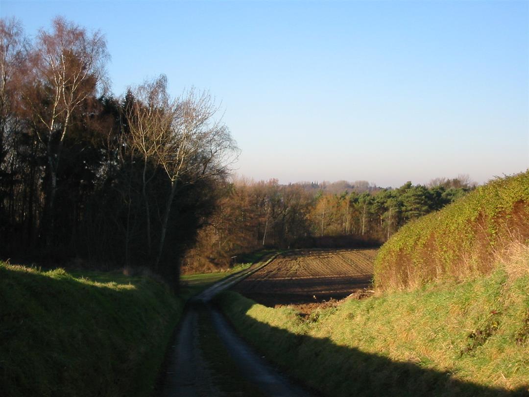
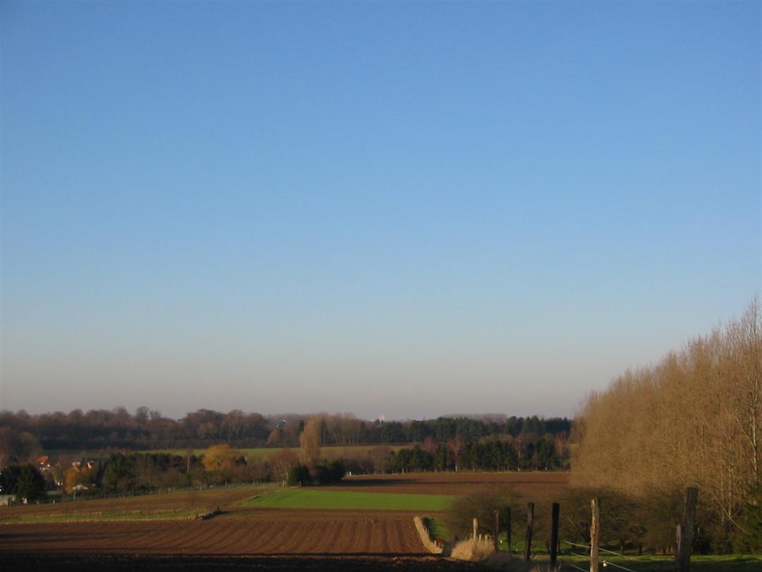
This loop lets you enjoy some beautiful views in a landscape of wide fields with unpaved roads. During the harvest month you can see farmers bringing in their harvest. You walk along hollow paths and you even end up in the old streetcar bed of 'Zwette Jean', which connected Vossem with Tienen.
Nodes to follow: 46-404-403-402-407-408-409-410-44-45-46. The route can be downloaded at www.visittervuren.be and is also described in a hiking brochure available at the visitor center, Markt 7B in Tervuren.
automatic translation
 nodes to follow
0 km
0.3 km
0.8 km
1.1 km
3.3 km
4.7 km
5.2 km
6 km
6.4 km
7.6 km
7.8 km
Sunday, February 19, 2023 by G.J.approach is paved and through the village, then very nice variety with views and hollow roads.
automatic translation
Friday, December 18, 2020 by Michel VMNice hike with very nice views, but better to do in dry weather; lots of mud...Walked wrong after 410...never found 44 and 45; stepped an extra 2.5km....
automatic translation
Thursday, September 5, 2019 by M.D.Changing landscape. Beautiful views.
Walked wrong once (from 402 to 407). Sometimes I find it difficult to interpret the direction of the arrow....
automatic translation


 Upgrade to Premium Plus
