 Hiking
 Login
Login
 More
More
 EN
EN
 Premium
Moorsel Walk
automatic translation
7.3 km • Tervuren
3.0805 4 3/5
route offered by
Visit Tervuren
 Addresse starting point (approximate)
Moorselstraat 203, 3080 Moorsel
 signage
The route is signposted with thematic signs (no nodes). You can use a GPS device or our app to follow the route through the virtual nodes.
 Description
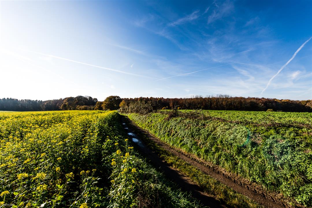
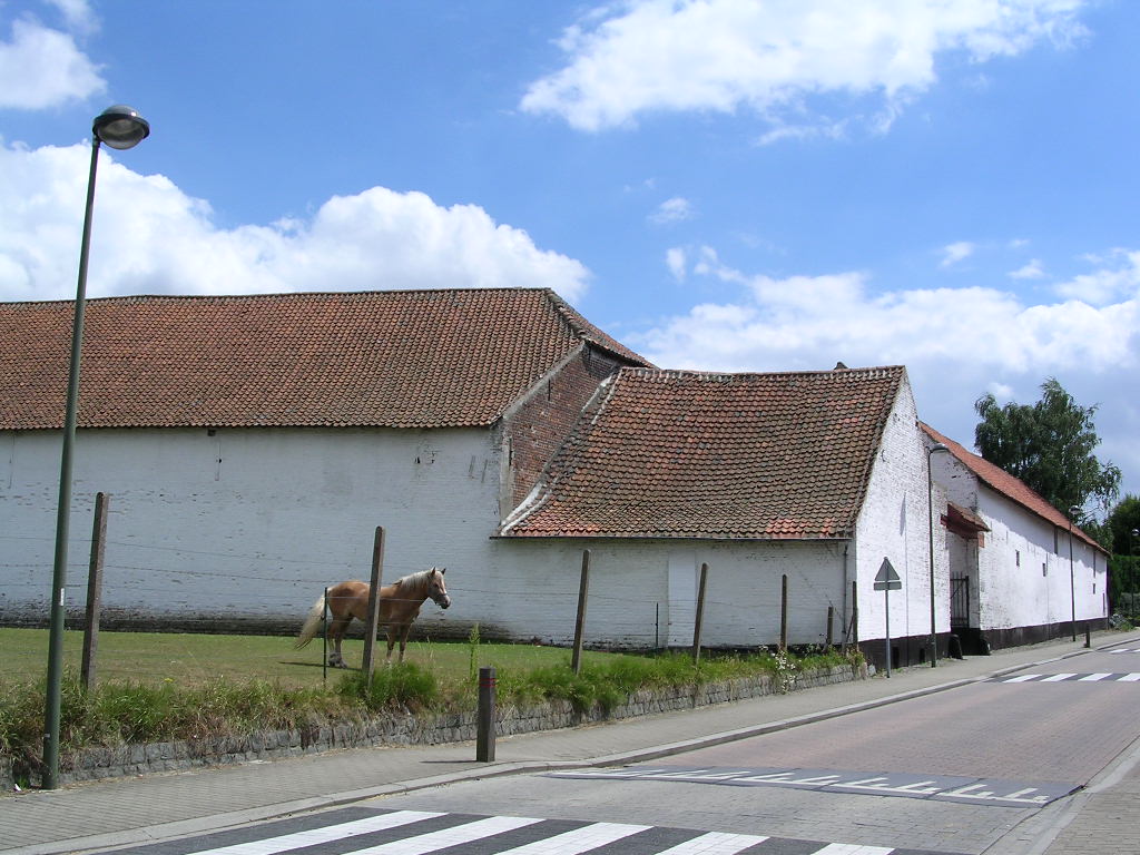
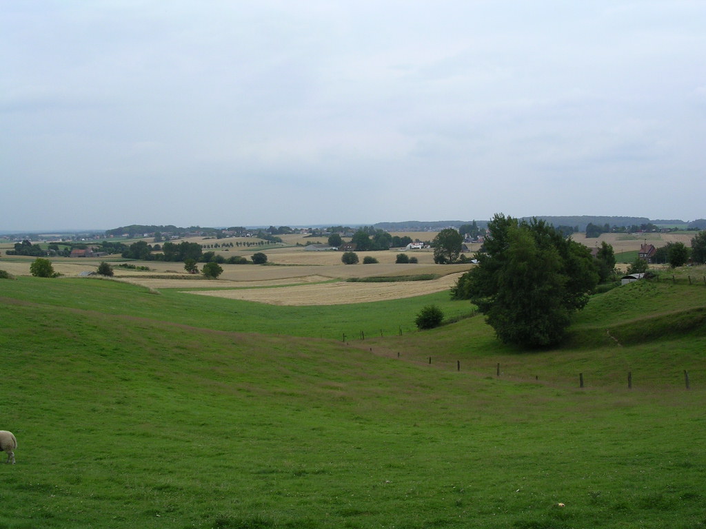
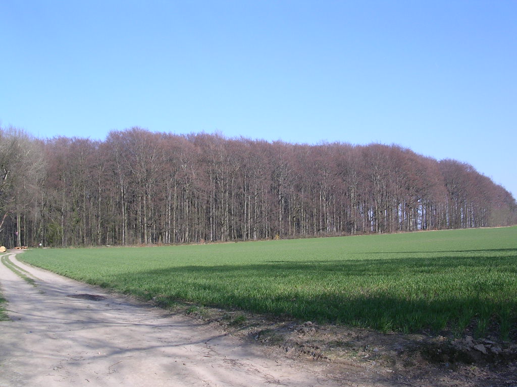
A nice walk past chapels, old farmhouses and hollow roads takes you to the beautiful Moorsel forest and back to the church. The Coosemans brothers donated this simple neo-Gothic church to Moorsel.
Signposting: green wooden posts or digital nodes walking network Brabantse Wouden: 438-439-440-832-441-527-526-434-435-436-437-438
The route can be downloaded at www.visittervuren.be and is also described in a walking brochure available at the visitor center, Markt 7B in Tervuren.
automatic translation
 nodes to follow
0 km
1.2 km
2.1 km
2.6 km
3 km
3.5 km
3.8 km
4.5 km
5.5 km
6.1 km
7.2 km
7.3 km
Sunday, July 20, 2025 by J.H.Nice ride for in beautiful nature, fields, forest, fields, hollow roads.
automatic translation
Friday, May 16, 2025 by E.G.signposted are wooden poles with green ends. very nice
automatic translation
Saturday, April 29, 2023 by E.B.Super fun hike through and around Moorsel
automatic translation
Saturday, February 12, 2022 by I.C.Dear, wanted to do this walk today, I had to park at the church of Moorsel, up to there no problem, but there are none signposted , have looked everywhere behind the church, even on the street found nothing . Still to 10 people who live in Moorsel and none could show me the way .
automatic translation


 Upgrade to Premium Plus
