
 Hiking
 Login
Login
 More
More
 EN
EN
 Premium
Flossendellewandeling
automatic translation
6.7 km • Tervuren
 official route
3.4175 3 4/5

 Addresse starting point (approximate)
Arboretum entrance gate, parking Vlaktedreef, 3080 Tervuren
 signage
The route is signposted with thematic signs (no nodes). You can use a GPS device or our app to follow the route through the virtual nodes.
 Description
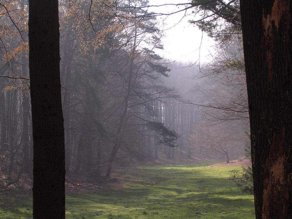
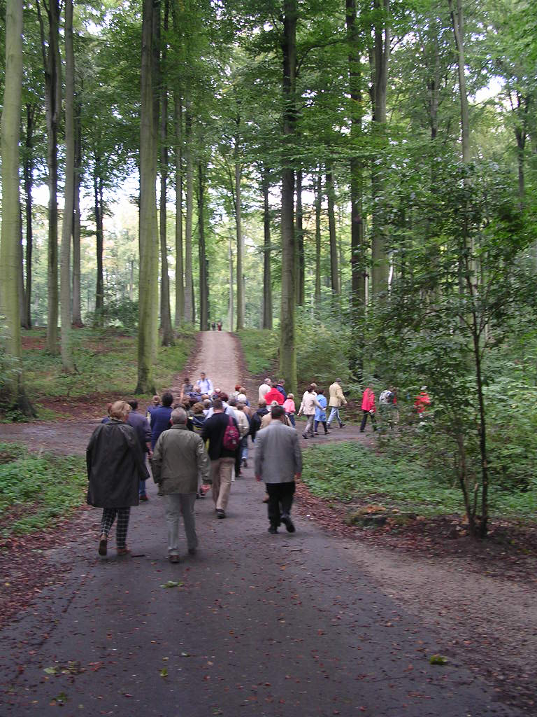
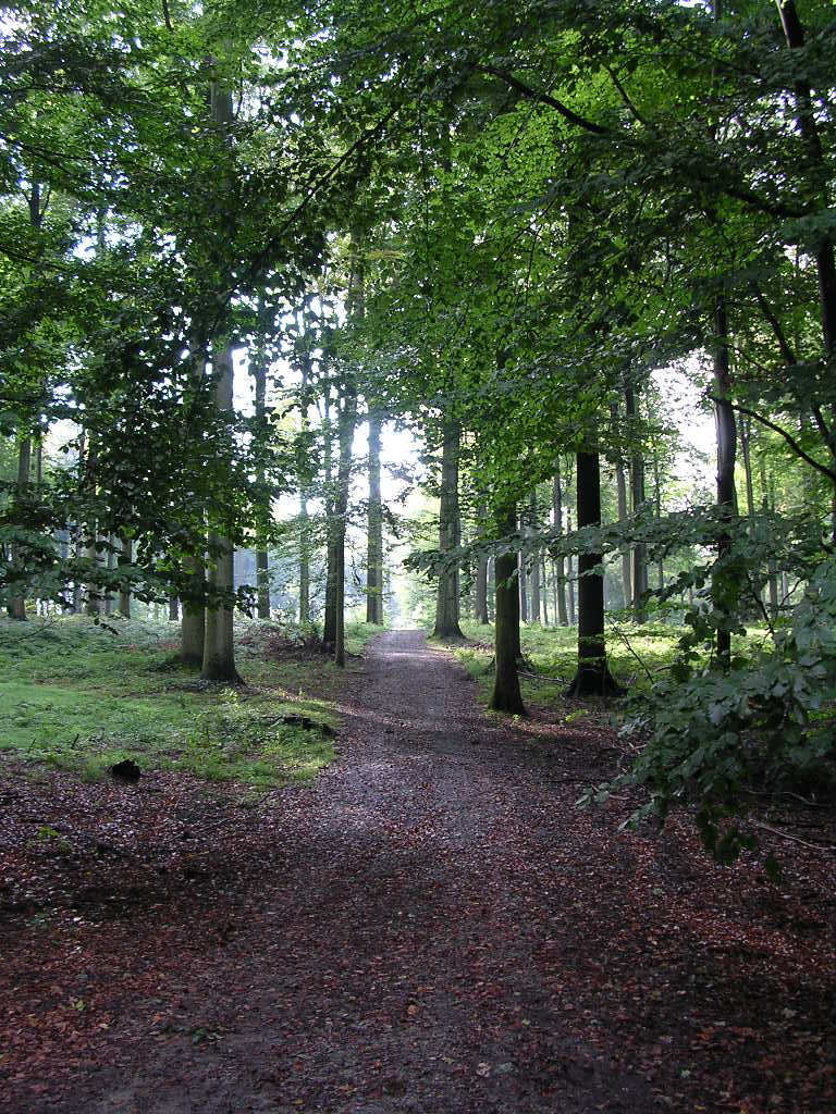
Explore a beautiful stretch of the Sonian Forest between Jezus-Eik and Tervuren, through small valleys with “flossen”—pools—and plateaus dotted with tall-trunked trees. Near Flossenweg, one of these pools is partially overgrown with yellow irises. Take a moment to visit Jezus-Eik; the village owes its origins to a small statue of Our Lady placed on an old oak tree. According to legend, several miracles took place there, so the Abbey of Park van Heverlee built a chapel on the site. In 1650, the small chapel made way for the elegant Baroque church.
Before you set out: This is a walk on a virtual hiking network. The junctions are not marked on the ground. Follow the wooden posts with blue tape.
automatic translation
 nodes to follow
0 km
1.6 km
2.5 km
4.9 km
6.3 km
6.7 km
Wednesday, July 30, 2025 by Marc Verretnice walk in the forest
Sunday, December 29, 2024 by B.V.Very nice family hike through the beautiful Zonien Forest. No adventurous trails but forest roads closed to any traffic.
automatic translation
Tuesday, November 3, 2020 by J.D.Beautiful walk, combinable with the Royal Walk. This way you make an eight-shaped loop in two different areas from the starting point. Pay attention to the signage: it takes some searching for the light blue wooden posts at each intersection. Post #3 is trackless, so turn left at the second intersection of Forest Master Road!
automatic translation



 Upgrade to Premium Plus


