 Hiking
 Login
Login
 More
More
 EN
EN
 Premium
Royal walk
automatic translation
7.4 km • Tervuren
 official route
3.70710 3 4.3/5
route offered by
 Addresse starting point (approximate)
Vlaktedreef, 3080 Tervuren
 signage
The route is signposted with thematic signs (no nodes). You can use a GPS device or our app to follow the route through the virtual nodes.
 Description
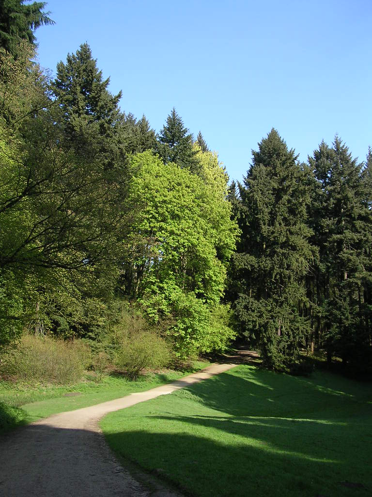
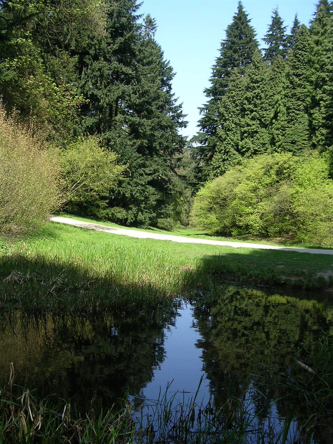
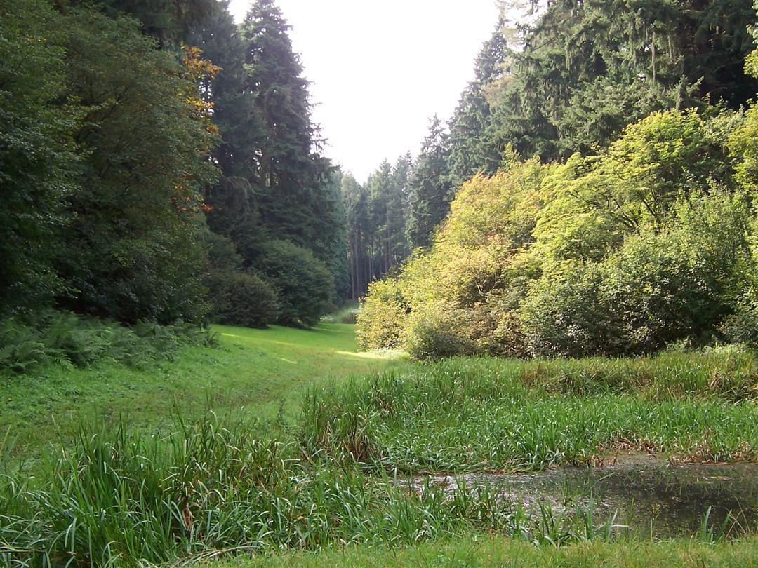
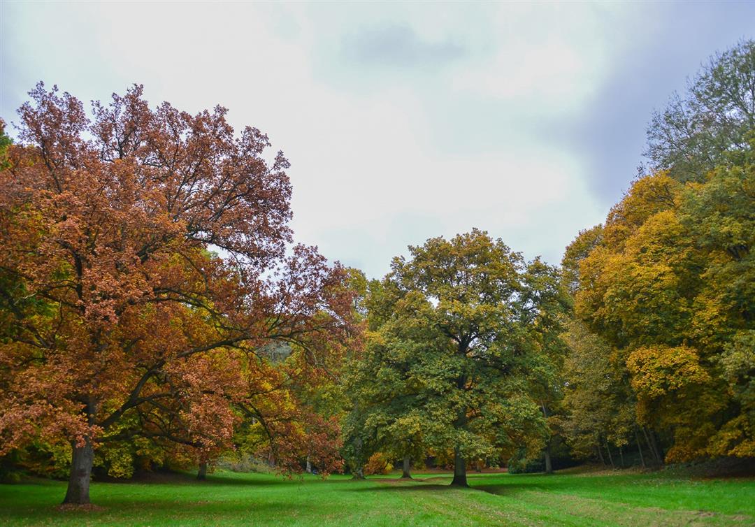
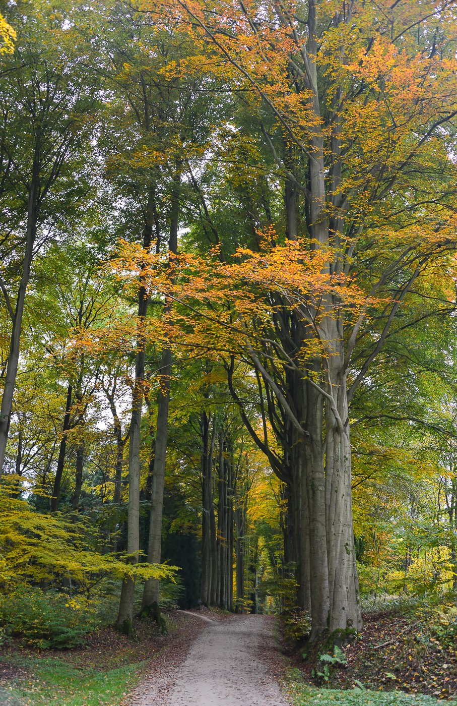
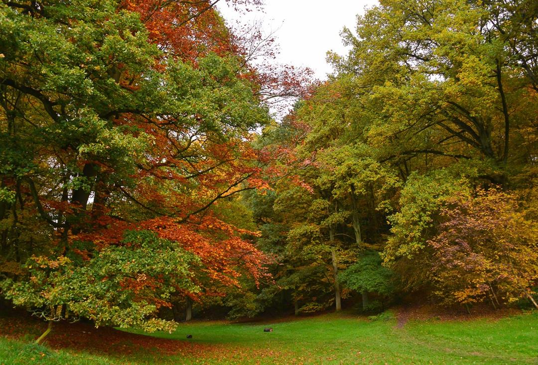
A walk along several beautiful spots in the Geographic Arboretum of Tervuren, where you travel around the world through 700 different tree species. The magnificent sequoias from the west coast of North America and the araucarias from the Andes are absolute eye-catchers.
Note: This is a hike on a virtual hiking network. The nodes are not signposted in the field. Follow the keep posts with green tape.
This walk is offered by Tourism Flemish Brabant and Visit Tervuren.
The route can be downloaded at www.visittervuren.be and is also described in a walking brochure available at the visitor center, Markt 7B in Tervuren.
automatic translation
 nodes to follow
0 km
0.8 km
3.3 km
3.5 km
4.8 km
5.9 km
6.5 km
7.3 km
Monday, January 18, 2021 by HERMAN verheirstraetenI've also done this many times. Absolute bliss, pure forest. At the market of Tervuren (a bit far from there) you can get a map with all types of trees marked on it. Also in wet period good to walk without high footwear. During the weekend it is difficult to find a parking spot, unless you go to parking De Bosuil in Jezus Eik.
automatic translation
Tuesday, November 3, 2020 by Johan DeslooverBeautiful walk among centuries-old towering trees. No problem finding your way: on every street sign post you meet along the way, there's a green band at the top with the direction (> or ^) nicely indicated.
automatic translation
Tuesday, August 11, 2020 by E.C.Nice quiet walk in the forest. Walking route very poorly marked must use an app otherwise you walk wrong.
automatic translation


 Upgrade to Premium Plus
