 Biking
 Login
Login
 More
More
 EN
EN
 Premium
Terraces between Lys and Scheldt cycling route
automatic translation
55.7 km • Ghent
 official route
5.6599 2 3.2/5
 Addresse starting point (approximate)
Zuiderlaan , 9000 Gent
 signage
The route is fully signposted with nodes.
 Description
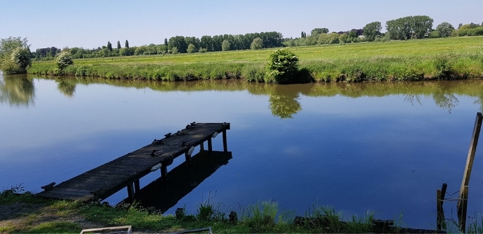
You start this bike route in the outskirts of Ghent at the recreation area De Blaarmeersen. You then explore the East Flanders Leie region through the municipalities of Sint-Martens-Latem, Nazareth and De Pinte, before returning to Ghent, where you have a choice of many nice beer bars to quench your thirst.
automatic translation
 nodes to follow
0 km
0.6 km
1.7 km
1.8 km
2.3 km
3.2 km
4.3 km
4.5 km
8.6 km
9.7 km
11.8 km
13.1 km
15.1 km
15.1 km
15.1 km
16.8 km
19.2 km
20 km
20.4 km
22.5 km
23.6 km
25.9 km
28.7 km
30.1 km
30.9 km
34.6 km
36.1 km
36.7 km
38.2 km
41.3 km
41.9 km
42.4 km
48.2 km
48.3 km
50.4 km
50.5 km
52.5 km
53.3 km
55.6 km
55.6 km
Monday, June 7, 2021 by V.P.really a very nice pleasant ride with different terrains( unpaved,center of gent, in nature )no inclines and well visible markings.The unpaved part is not recommended for racing bikes.terraces enough
automatic translation
Wednesday, July 22, 2020 by K.G.The flag does not cover it, as we saw few pavement cafes on this route. The route is less suitable for course bikes, as gravel paths are frequent. Nevertheless, we enjoyed it nonetheless!
automatic translation


 Upgrade to Premium Plus
