 Biking
 Login
Login
 More
More
 EN
EN
 Premium
From Dendermonde to Aalst bicycle route
automatic translation
37.7 km • Dendermonde
 official route
5.0237 4 3/5
 Addresse starting point (approximate)
Stadspark, 9300 Aalst
 signage
The route is fully signposted with nodes.
 Description
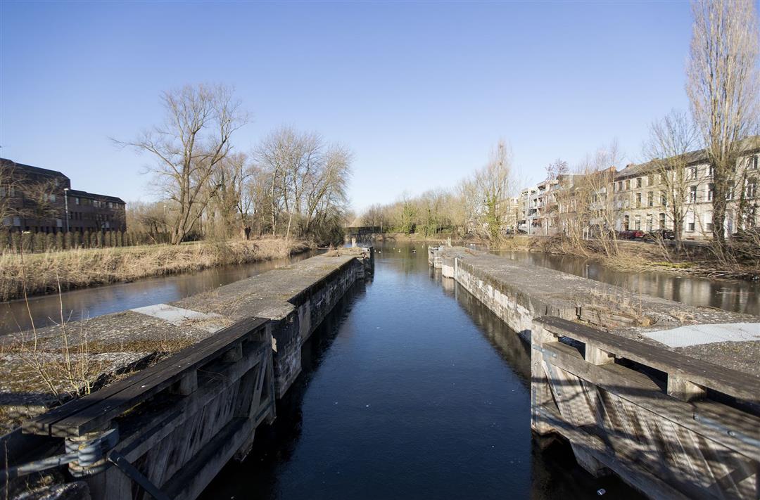
Hop on your bike in the Ros Beiaardstad Dendermonde for a ride towards Aalst, that equally proud Dender town. From there, you cozily sprint back to your starting point via the traffic-free towpath along the Dender. The valley between the two towns hosts a varied river landscape with wet meadows, reed beds and bushes.
automatic translation
 nodes to follow
0 km
0.8 km
1.1 km
4.9 km
8.9 km
11.1 km
14.4 km
15.3 km
17.6 km
19.4 km
22.5 km
22.7 km
23.8 km
28 km
28.3 km
29.9 km
32.4 km
35.6 km
35.7 km
37.7 km
Sunday, March 22, 2026 by Maarten BlommaertI still think it's a nice route. It's a nice mix of driving along the water and through nature.
automatic translation
Tuesday, August 24, 2021 by Emiel PeetersDear , I have adapted this route a bit and it is +- 40km, unfortunately I did not follow the nodes here, maybe I should check it and adjust it a bit ? You can find it on my Routeyou Dendermonde -Aalst 39,6 km node 84 has not disappeared, it is still there 250 meters past 't Sas Dendermonde at the height of the Dender
automatic translation
Wednesday, June 9, 2021 by Rudi TolleneerNot really a fun trip I think, as already mentioned it is a "bumpy road" trip ... And also quite a few dangerous places ...
automatic translation
Wednesday, May 26, 2021 by Jozef Van hoosteWe went to ride the route on May 23, 2021 .Very beautiful and green route but the unpaved roads are bumpy. The sign of junction 84 has disappeared.
automatic translation


 Upgrade to Premium Plus
