Loading...

Wase Polders bicycle route

automatic translation

30.3 km • Beveren

Icon official route official route

30.3 km 0.0 km 0.0 km

route offered by

Badge of official route

more info

Icon starting point Addresse starting point (approximate)

Zoetenberm 6A, 9130 Beveren

Icon type signage of route signage

The route is fully signposted with nodes.

5m 5m 5m 5m
© Toerisme Oost-Vlaanderen
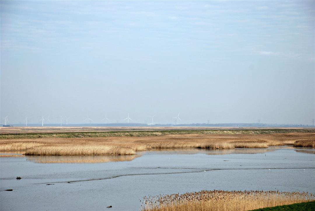
Icon description route Description

This bike route takes you from one polder to another. Among all that natural beauty, Doel, with its typical cooling towers, is "hidden". An absolute must along the route is the Ouden Doel radar tower.

automatic translation

Icon nodes to follow nodes to follow

Image node 17
0 km
Image node 14
3.7 km
Image node 12
9.3 km
Image node 12
9.3 km
Image node 60
11.6 km
Image node 64
14.4 km
Image node 13
20.3 km
Image node 17
30.3 km
This route has 1 review(s).
Rate route!

Tuesday, June 23, 2020 by J.P.The starting point (node 17) is NOT Zoetenberm 6A in Beveren but the intersection of the Engelsesteenweg and the Oostlangeweg in Doel (Beveren). The route contains a section of bad cobblestones.
automatic translation

Which POI do you want to show on the map?

Experimental cycling network
Unsigned icon

The route you have chosen runs (partly) along an experimental virtual cycling node network (the blue-coloured nodes and sections on the map).

You must be logged in to plan routes here.

Experimental cycling network
Unsigned icon

The route you have chosen runs (partly) along an experimental virtual cycling node network (the blue-coloured nodes and sections on the map).

These routes are not controlled in the field. Before you start cycling here, take a minute to read what an experimental cycling node network is and what rules you should follow when cycling here.