 Biking
 Login
Login
 More
More
 EN
EN
 Premium
Shelduck bicycle route
automatic translation
52.1 km • Ghent
 official route
3.7245 2 3.2/5
 Addresse starting point (approximate)
Blaarmeersen, 9000 Gent
 signage
The route is fully signposted with nodes.
 Description
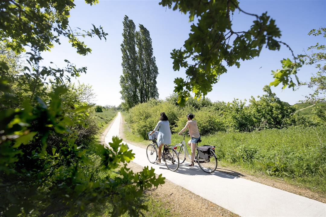
Since the opening of the Reep in 2018, Ghent is once again at the confluence of Scheldt and Leie and a piece of geographic history has been restored. We cycle via the Gentbrugse Meersen past the castles of Destelbergen and Laarne and rejoin the banks of the Scheldt in Wetteren for the ride back.
automatic translation
 nodes to follow
0 km
2.3 km
2.3 km
2.9 km
4 km
4.1 km
4.6 km
5.5 km
5.5 km
6 km
7.5 km
7.6 km
8.7 km
11.5 km
11.8 km
12.9 km
17.5 km
18.8 km
20.1 km
22.1 km
23.9 km
28.4 km
28.9 km
30.3 km
32.9 km
36.3 km
38.4 km
39.5 km
39.8 km
40.7 km
44.5 km
46.1 km
46.5 km
46.6 km
47.4 km
47.9 km
48 km
49.1 km
49.7 km
49.8 km
52 km
Sunday, July 14, 2024 by R.V.Dear, This route seems to me on receipt very nice to ride once.....but that's exactly where the pinch is! Printing the route, both the map and the junction sheet, is illegible when used on a bicycle because the text is too small! But don't worry, the old version of fietsnet.be still exists and it works! (IT error ??)
automatic translation
Saturday, July 24, 2021 by I.D.Nice bike route along the water that starts at the water sports course and runs along the Leie to the center of Ghent and on to the Gentbrugse Meersen, Heusden, Destelbergen,Laarne, Wetteren and back along the Scheldt to the starting point. Park on the Zuiderlaan and drive to junction 52. Junction 52 is high on the left of the bike path.
automatic translation


 Upgrade to Premium Plus
