 Biking
 Login
Login
 More
More
 EN
EN
 Premium
Aalst bicycle route
automatic translation
39.4 km • Aalst
 official route
5.83216 4 3.4/5
 Addresse starting point (approximate)
Putstraat 1, 9310 Meldert
 signage
The route is fully signposted with nodes.
 Description
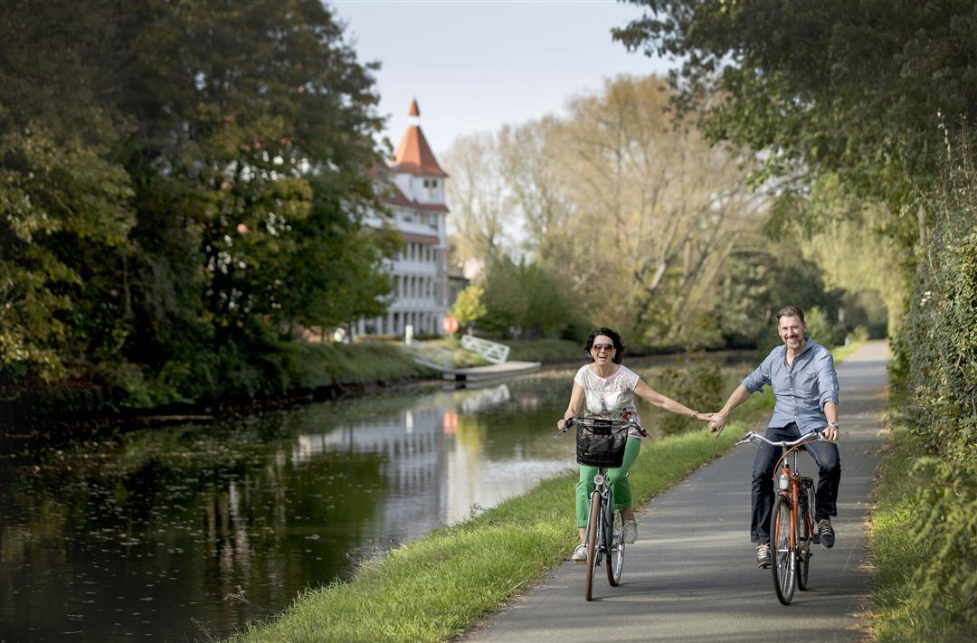
Take a beautiful bike ride along the Dender and cross the Sas bridge towards the castle of Wieze. Cycle through the Faluintjes: 4 Aalstern boroughs, where the hops cultivation of yesteryear is cautiously re-emerging. Cycle past the various hop fields and stop at Affligem Abbey.
automatic translation
 nodes to follow
0 km
0.6 km
2.1 km
7.3 km
8.4 km
8.5 km
8.6 km
9.2 km
9.4 km
10.5 km
15 km
15.1 km
15.6 km
16.7 km
20.2 km
22.5 km
25.8 km
28.1 km
31.4 km
33.8 km
39.3 km
Saturday, September 3, 2022 by Hilde Vanthuyne hildeFrom Meldert to Aalst along a rather large track but with large marked bike path , Busy road along Aalst , first stretch thundering past businesses , then better , Nice bit of unpaved road to Wieze , then lots of "rural" roads but still with quite a bit of traffic . For us not worth repeating
automatic translation
Thursday, July 30, 2020 by Roels GuyBeautiful, generally quiet route with plenty of stops for refreshments. Too bad that junction 36 was closed so we had to go back and further down the trail.
automatic translation
Thursday, April 23, 2020 by Ulrik De ManA very nice quiet and flat route
automatic translation
Monday, March 23, 2020 by P.C.Beautiful bike route,
In Wieze (church) it was difficult to find the right direction.A lot of hops are not grown there and are in danger of extinction.Highly recommended.Beautiful views in good weather.
automatic translation


 Upgrade to Premium Plus
