 Biking
 Login
Login
 More
More
 EN
EN
 Premium
Along airport of Gontrode bicycle route
automatic translation
31.2 km • Merelbeke-Melle
 official route
3.94910 1 4/5
 Addresse starting point (approximate)
Kapellendries, 9820 Melle
 signage
The route is fully signposted with nodes.
 Description
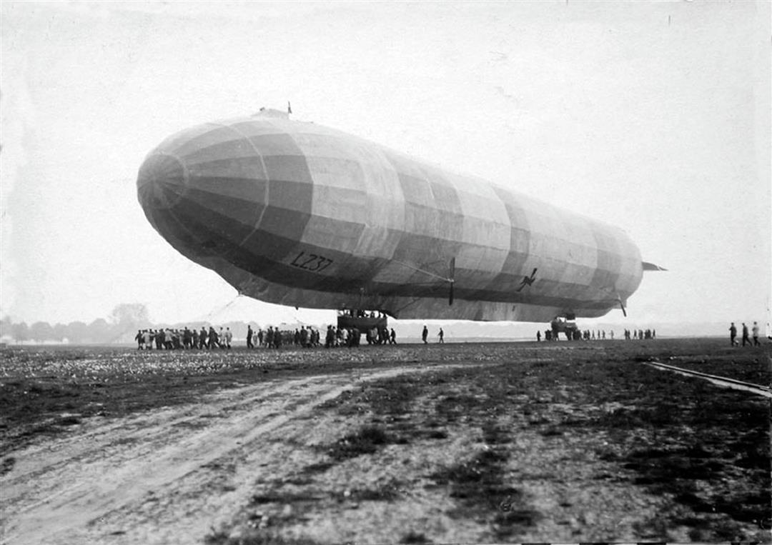
This quiet cycle route introduces you to the green outskirts of Ghent and the renewed cycle and towpaths along the Scheldt. The tour passes by quiet back roads in Merelbeke and Melle and through the vast nature reserve the Gentbrugse Meersen. You will also learn about an interesting piece of history: the old airport of Gontrode.
automatic translation
 nodes to follow
0 km
2.3 km
3 km
6 km
6.6 km
6.9 km
7.7 km
7.8 km
9 km
13.1 km
13.3 km
14.4 km
14.5 km
14.9 km
16.5 km
16.6 km
17.6 km
20.4 km
20.8 km
21.8 km
24 km
24.1 km
25.6 km
29 km
29.4 km
29.8 km
31.1 km
Saturday, April 19, 2025 by H.V.Beautiful bike ride, right through nature . Also part in Ghent, but through the green outskirts of Gentbrugge and Ledeberg. Very surprised by the combination of nature and housing there. Beautiful parks and lots along the water. Tip : download the route also on your cell phone because signs are not always clear, then it is handy to see the route on your cell phone.
automatic translation


 Upgrade to Premium Plus
