 Biking
 Login
Login
 More
More
 EN
EN
 Premium
Along the line bicycle route
automatic translation
29.6 km • Sint-Gillis-Waas
 official route
4.4764 3 3.7/5
 Addresse starting point (approximate)
Buitenstraat, 9170 De Klinge
 signage
The route is fully signposted with nodes.
 Description
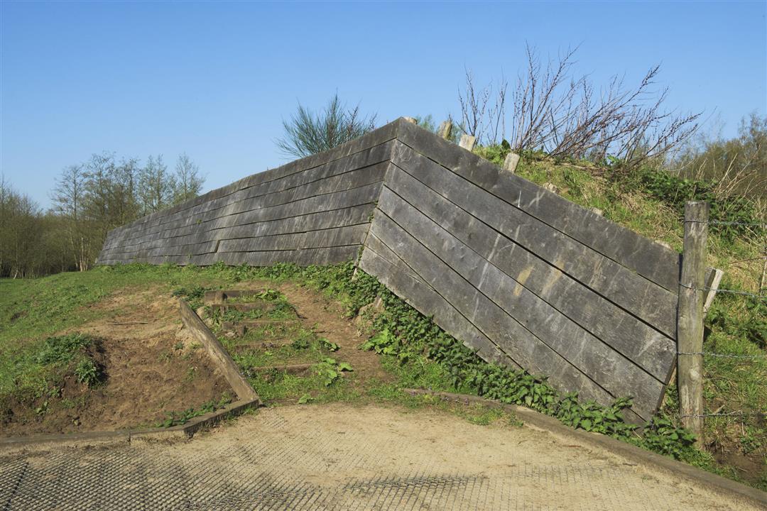
The State-Spanish lines are the most tangible in this route. Nearby, you'll find remnants of Fort St. John and Fort Bedmar. Also drive past Fort Verrebroek, which today is only recognizable from the air.
automatic translation
 nodes to follow
0 km
2.9 km
4.1 km
9.1 km
9.3 km
11.6 km
14.4 km
17.1 km
18.8 km
22.1 km
23 km
24.9 km
26.7 km
29.6 km
Sunday, July 20, 2025 by Eddy De Wildehighly recommended, just done very nice route
automatic translation
Sunday, September 22, 2024 by S.V.nice route, but the laps between node 67and69 unnecessary
automatic translation
Sunday, August 15, 2021 by M.B.Done today.Very nice route highly recommended
automatic translation


 Upgrade to Premium Plus
