 Biking
 Login
Login
 More
More
 EN
EN
 Premium
Meetjeslandse creeks bicycle route
automatic translation
53.8 km • Eeklo
 official route
3.8506 2 2.8/5
 Addresse starting point (approximate)
Huysmanhoeve Bus 1, 9900 Eeklo
 signage
The route is fully signposted with nodes.
 Description
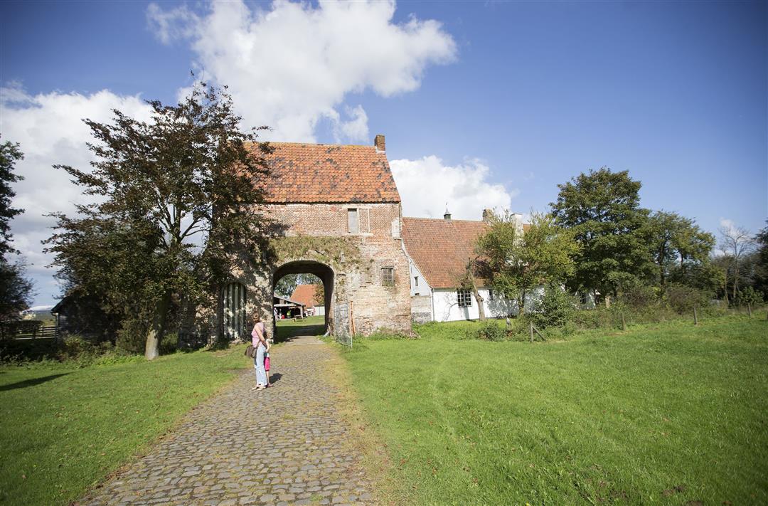
From the Huysmanhoeve, the bridge over the expressway brings you to the northern part of the Meetjesland Bicycle Network. A little further along the route you cycle past pretty villages and creek spots.
TheMeetjeslandse creeks cycle routeis offered to you byRouten, an initiative of Tourism East Flanders.
automatic translation
 nodes to follow
0 km
1 km
3.7 km
5.7 km
8.7 km
11.4 km
13.7 km
13.8 km
17.1 km
18.2 km
19.2 km
21.9 km
25 km
28.6 km
29.4 km
33.3 km
34.4 km
37.1 km
39.1 km
41.8 km
42.5 km
45.9 km
47.3 km
48.2 km
49.7 km
51.9 km
52.9 km
53.7 km
Monday, July 27, 2020 by Ronny Van hammeToo bad about the abundant concrete lanes in very poor condition.
automatic translation
Sunday, May 31, 2020 by Marleen MartensIdeal starting place,spacious parking! Beautiful,quiet route along the creeks and through the polders. The concrete road surface is occasionally in poor condition due to passage of heavy agricultural machinery. There are also a few unpaved sections, making it less suitable for road bikes. You pass several polder villages with plenty of places to eat and drink.
automatic translation


 Upgrade to Premium Plus
