 Biking
 Login
Login
 More
More
 EN
EN
 Premium
46km - Kronenburg - Belgian-German Loop
automatic translation
45.3 km • Büllingen
4680 0 0/5
45.3 km
0.0 km
0.0 km

 Addresse starting point (approximate)
Hünningen 175D, 4760 Hünningen, BE
 signage
The route is fully signposted with nodes.
© B&B Level600
 Description
Via Vennbahn and Kyllradweg (almost flat, asphalted, traffic-free) you reach Kronenburg.
After visiting the old Eifel town and the star lookout point, you cycle through abandoned Eifel villages, the valley where black storks come to nest, the orchid meadows, ...
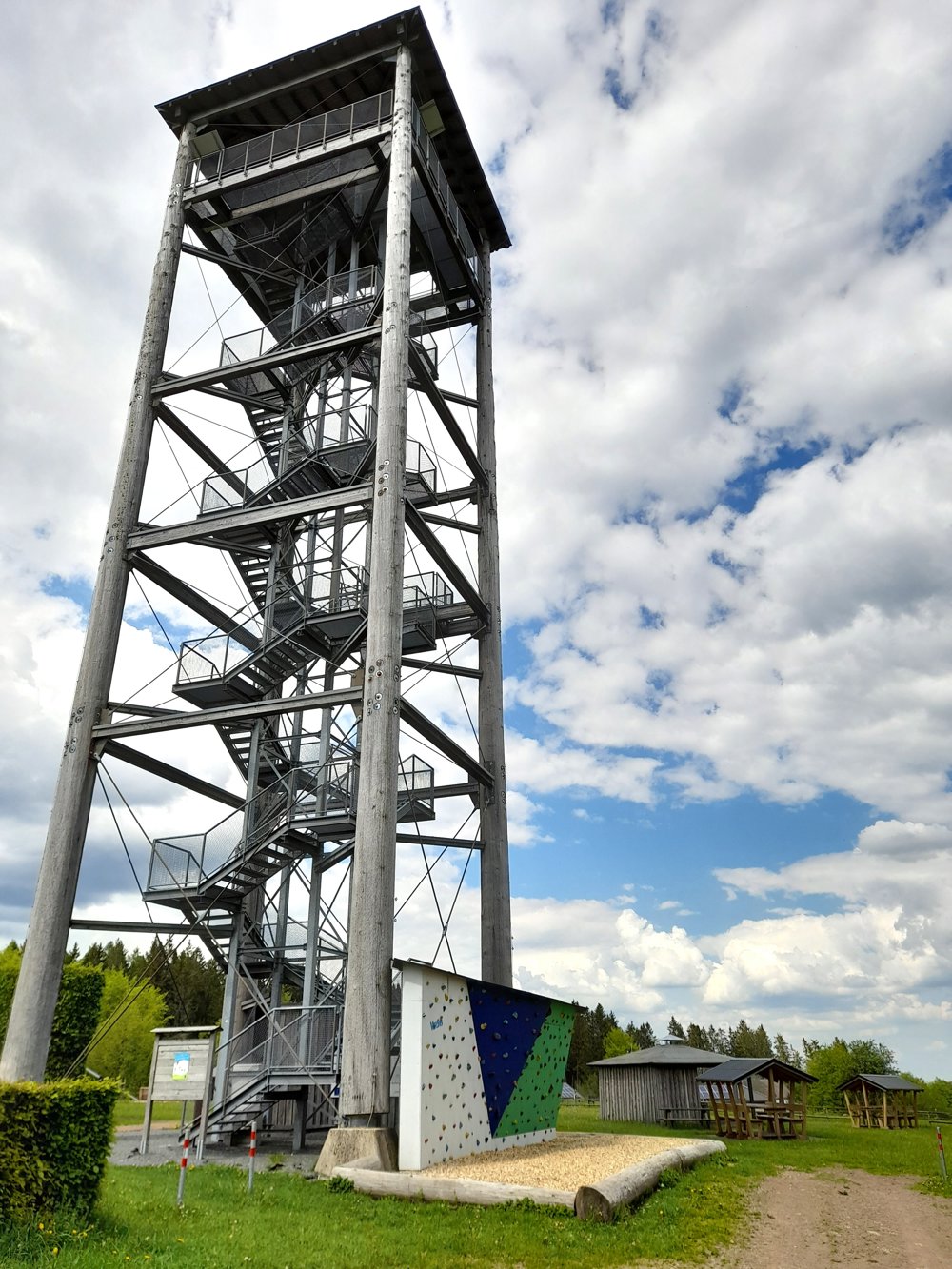
And be sure not to forget the climb up the 30-meter high observation tower in Weisser Stein, from where on some days you can see all the way to Bonn!
automatic translation


 Upgrade to Premium Plus
