 Biking
 Login
Login
 More
More
 EN
EN
 Premium
Overmere Donk and along the Scheldt
automatic translation
29.4 km • Berlare
10.68911 2 3.8/5

 Addresse starting point (approximate)
Donklaan 98, 9290 Berlare, BE
 signage
The route is fully signposted with nodes.
 Description
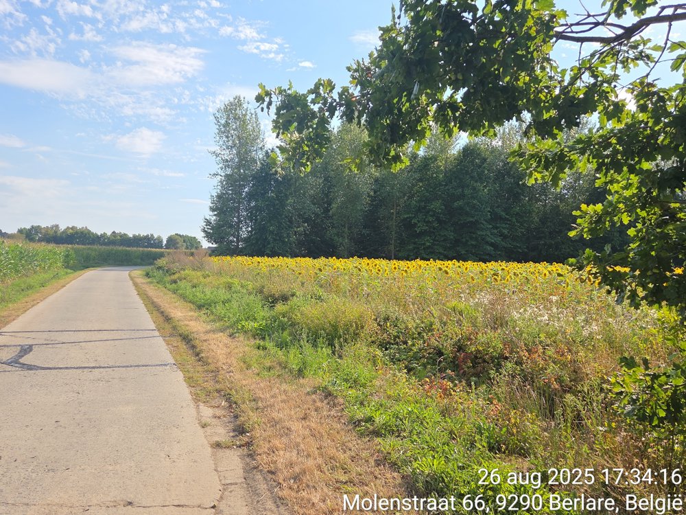
A route in the shape of an 8 of just under 30 km. Departure from the parking lot of Donkmeer, where there is certainly enough space (if no events are taking place at Donkmeer).
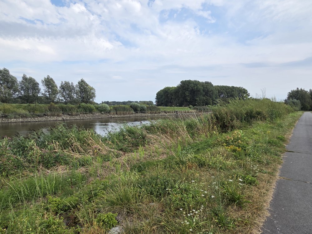
Between Schellebelle and Wichelen, you ride on the dike where the Scheldt meanders significantly. You cross three nature reserves: Donkmeer, Kalkense Meersen, and Bergenmeersen.
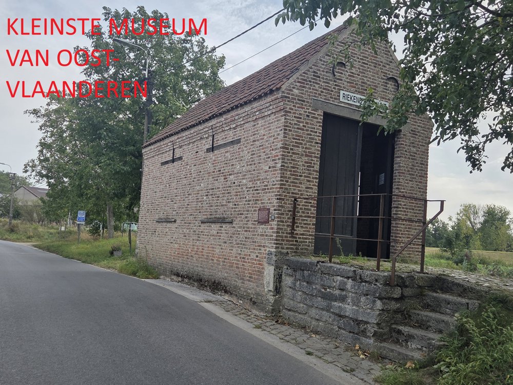
After 6 km, you pass the smallest museum in East Flanders. After 21 km, you take the ferry in Schellebelle. One third of the route is car-free.
automatic translation
 nodes to follow
0 km
3.9 km
5.9 km
7.5 km
7.9 km
7.9 km
13.7 km
15.3 km
16.7 km
19.2 km
20.9 km
21 km
23.9 km
24 km
24.4 km
27.4 km
29.4 km
Friday, March 6, 2026 by F.J.Drove the route yesterday. Nice and varied route, could do with fewer residential areas, but there are also some beautiful stretches, such as along the Scheldt. We went from 45 straight to 11, otherwise you drive the same stretch twice. If you want a drink at Donkmeer, don't go to Cherie's, as they only take cash.
automatic translation
Tuesday, October 14, 2025 by De Van Mellopay close attention to the signage
automatic translation


 Upgrade to Premium Plus
