 Biking
 Login
Login
 More
More
 EN
EN
 Premium
Water mill bicycle route
automatic translation
40.7 km • Zwalm
 official route
12.77230 19 4.3/5
 Addresse starting point (approximate)
Rekegemstraat 28, 9630 Zwalm
 signage
The route is fully signposted with nodes.
 Description
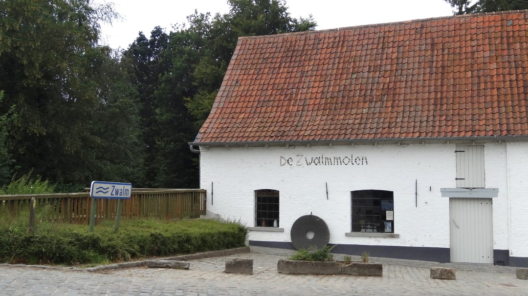
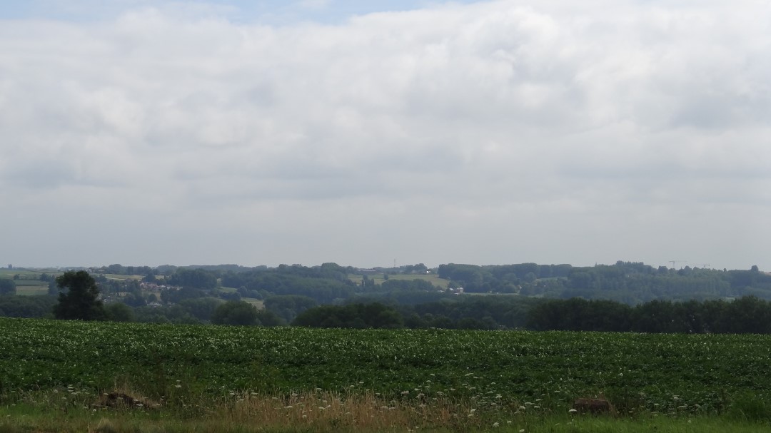
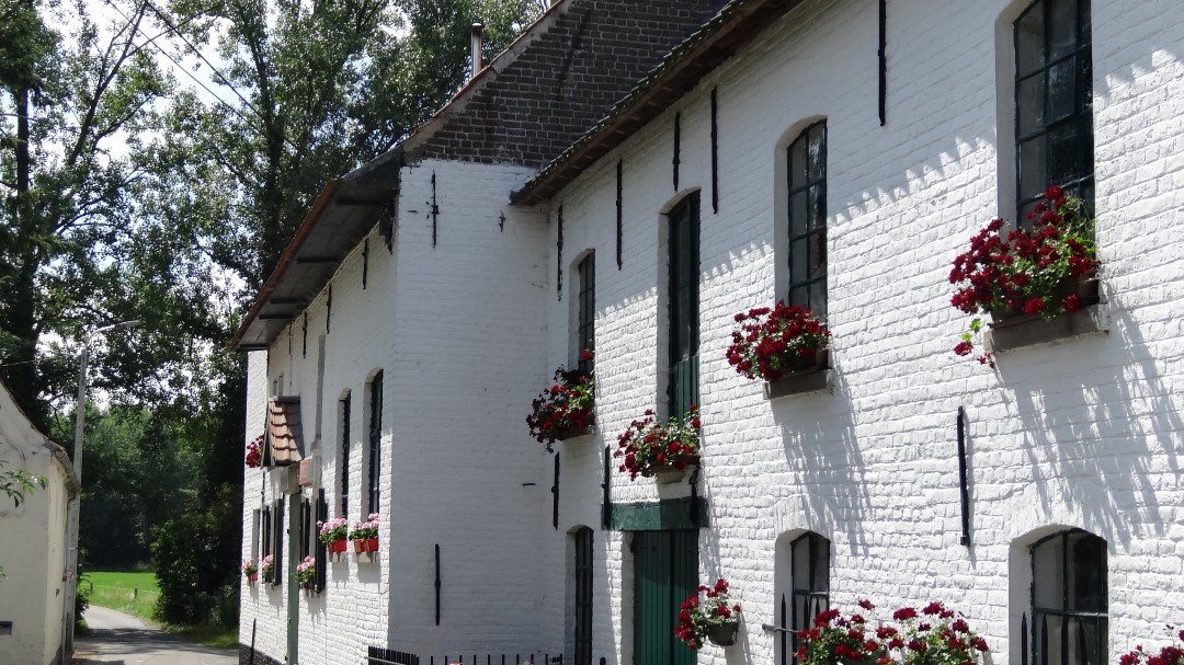
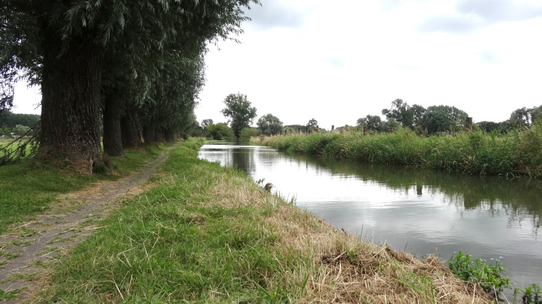
This signposted bicycle route takes us past the most remarkable corners of the Zwalm region, especially the typical water mills, rural villages and the gently undulating landscape with its centuries-old farmsteads. The starting point of the route is the Zwalm mill in Munkzwalm. The region is characterized by the Zwalm stream, at the time the source of energy for many water mills such as the Bostmolen, Zwalmmolen, Ijzerkotmolen and Ter Biestmolen.
automatic translation
 nodes to follow
0 km
1.2 km
2.5 km
2.8 km
4 km
5.3 km
5.5 km
6.9 km
8.8 km
10.1 km
11.1 km
12.3 km
14.5 km
15.6 km
17.1 km
18.9 km
22.7 km
22.8 km
24.1 km
24.8 km
27 km
28.9 km
32 km
32.2 km
33.5 km
36.9 km
39 km
40.6 km
Tuesday, July 21, 2026 by Stefan De RoeckA beautiful route with plenty of uphill and downhill sections. A few junction signs are missing, especially in Zwalm, where the route begins. In Horebeke, there is currently construction, so you can’t follow the junction signs, but you can use GPS to rejoin the route a few kilometers further on.
automatic translation
Sunday, March 22, 2026 by EDDY VERLEEa really beautiful route
automatic translation
Tuesday, May 20, 2025 by D.D.Have done it counterclockwise myself then the climbs are a bit harder. Beautiful route with beautiful views and nice quiet lanes. Quite a few cobblestones though, which is less pleasant on a racing bike. If you don't mind cobblestones it is worth 5/5.
automatic translation
Saturday, May 3, 2025 by Marian PozzoloExtended this route to 54 km. beautiful route with uphill, downhill, views, only along the water was flat. junctions 52-51-3-4-9-11-11-94-96-15-12-68-47-46-43-40-39-75-76-77-94-78-73-72-79-86-81-61-57-67-53-52
automatic translation
Thursday, May 1, 2025 by M.V.Beautiful route, climbs and descents, views. Only the roads are mostly in bad condition, especially if you cycled 4d in Limburg month before, what a difference.....Route cycled on May 1, 2025
automatic translation
Monday, February 24, 2025 by G.C.Nothing but praise for this route, beautiful views little climbing rather braking !!!
automatic translation
Thursday, July 18, 2024 by Chris YsebaertWith the bicycle app (Fietsknooppunten) it is very easy to follow this beautiful route. The old hexagonal signs have been replaced by green signs with numbers.
automatic translation
Thursday, July 8, 2021 by Y.P.what do the signs look like ? would not be a bike junction route , is there a gpx file somewhere to download ? is the alignment still ok ?
automatic translation
Tuesday, June 1, 2021 by E.D.The route itself is a very nice one ! But on this approx. 44 km there is not a single rest point where you can order a drink. There is not even a single "bank" along the way ( and here I don't mean the one where you can withdraw money ...). The few cafes left there were ALL closed on Tuesdays. The others are mostly rundown ...
automatic translation
Wednesday, May 1, 2019 by Martin W.Cycled the route with partner on May 1, 2019. A beautiful route with a few bumps in the calves. Bike with enough gears (or e-bike) is a must. Signage is OK, but not always logically placed or difficult to find due to vegetation. In doubtful situations, an extra sign in the direction of travel is not a luxury.
There are few benches or picnic tables on the route. Also keep in mind that you will not encounter stores or supermarkets. In that respect, the villages make a deserted impression. A café with a terrace is no problem. Fortunately, you are sufficiently treated to beautiful panoramas. So have your camera at hand and stop regularly!
automatic translation
Monday, October 2, 2017 by T.L.the GPX file, apparently doesn't work ?
automatic translation
Monday, August 21, 2017 by B.W.Hi Idereen, does anyone have this route in nodes? Thanks in advance, Benny
automatic translation
Tuesday, May 23, 2017 by E.P.It is a cycling route for somewhat experienced cyclists ! Uphill- downhill beautiful landscapes and water mills, not to mention snacks and drinks are plentiful on this cycling route through rural villages and past historic farmhouses.
( Stopping along the way for local beers and local specialties.
Highly recommended I will definitely do this route again but in reverse.Signage could be better luck I have the GPS on my bike.
Downloading in advance as GPX is a must.
Emiel Peeters Baleunisstraat 2/6 9200 Sint Gillis Near Dendermonde
automatic translation
Friday, January 27, 2017 by L.B.Very nice bike tour. It can indeed be difficult at some points but the beautiful nature makes up for everything and you certainly won't suffer from hunger or thirst.
automatic translation
Tuesday, November 1, 2016 by D.W.Beautiful and varied route, beautiful scenery and nice stops (both for food and drinks). For trained cyclists and those with e-bikes ;-)
Lucky I had uploaded the GPX file into the GPS because I had to look for the signs every now and then.
automatic translation
Monday, October 17, 2016 by C.D.Beautiful region, beautiful bike route.
The route is pretty well marked, only at one point did we hesitate for a while.
It is plenty to enjoy but for cyclists who are a bit trained!
automatic translation
Monday, August 8, 2016 by A.D.bike route water mill route , nice route though sometimes the signage a little confusing .
automatic translation
Monday, July 25, 2016 by M. .Signs are missing around Sint Maria Latem.
Very nice bike route.
automatic translation
Monday, July 11, 2016 by W.V.Beautiful bike route along quiet roads where you can fully enjoy the fantastic views.
automatic translation


 Upgrade to Premium Plus
